New Years Eve Ice Ball Drop Temperatures 10 Degrees
New Years Eve Ice Ball Drop Temperatures 10 Degrees
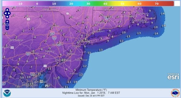
For those of you planning to be out at Times Square for the arrival of 2018 one might suggest dressing appropriately or perhaps changing your plans to some place a bit warmer. The ball drop will be a New Years ice ball drop with temperatures shown to be right around 10 degrees at midnight. Near by temperatures will be in the single digits. This is without the wind which will make it feel like it is below zero. At least it won’t be snowing.
Getting there we are very cold tonight in the aftermath of a 1 to 3 inch snow fall with 4 inch plus amounts in parts of Southern New Jersey. Skies have cleared out and temperatures are headed down to the low teens and single digits by Sunday morning.
SATELLITE LOOP
REGIONAL RADAR
There are some snow showers and squalls across parts of Pennsylvania and New York State this evening and they should likely weaken overnight as the move southeastward though some may survive the trip and land in parts of New Jersey. They should not amount to much if they hang on.
Sunday will be very cold with temperatures just in the teens all day and an increasing wind. then we head down to Monday morning lows in the low single digits to below zero! Monday will be brutally cold with highs just into the teens with some sunshine.
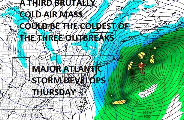
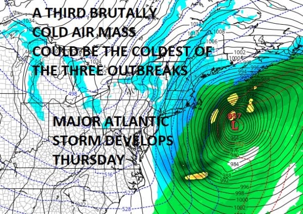
This week ahead may wind up being colder than last week overall. Temperatures will begin to moderate by Wednesday ahead of another brutally cold air mass that will move in Friday. This time around the Arctic air mass will be coming in straight from the north and not from the west. This could make this the coldest of the 3 arctic outbreaks. It will also be drawn down by a major atlantic ocean storm that will develop on Thursday as it moves up the coast just offshore. Yesterday it appeared that the out to sea solution was front and center but models have since rearranged the chess pieces again and a threat from this storm is now possible if model westward trends continue. We will explore the prospects of this storm in greater detail later tonight. Storm or no storm it is quite possible that we may see widespread below zero temperatures before the week is out especially if add some additional snow cover to the equation.
 GET JOE A CIGAR IF YOU LIKE
FiOS1 News Weather Forecast For Long Island
FiOS1 News Weather Forecast For New Jersey
FiOS1 News Weather Forecast For Hudson Valley


