- Winter Storm Warning Gale Warning Coastal Flooding Fast Moving Noreaster Tonight
Winter Storm Warning Gale Warning Coastal Flooding
Fast Moving Noreaster Tonight

Winter Storm Warning Gale Warning Coastal Flooding
Fast Moving Noreaster Tonight
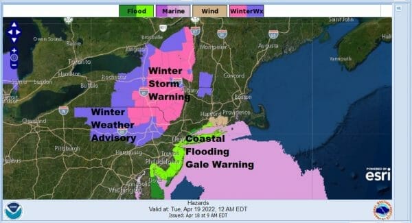
We have a fast moving noreaster heading up the coast tonight from North Carolina. It will be producing late season snows of 6 inches or more for elevated areas well inland from the Catskills and Poconos to the Adirandacks. Along the coast it will be rain wind and some coastal flooding as the low goes by. Winter Storm Warnings are up for affected areas well inland while along the coast we have Gale Warnings and Coastal Flood Advisories and warnings for the coast from Delawsre to Long Island.
 As for snow amounts some max areas for snow will be in Northeastern Pennsylvania to the Catskills and then another pocket in Upstate NY. I tend to think 1500 feet will be the magic level for snow for inland areas. Some mixing could occur in parts of Northwest New Jersey and we also see lighter amounts possible from Northwest Connecticut northward into New England.
SATELLITE

WEATHER RADAR
 Clouds are already moving up from the south and increasing and rain has broken out across Virginia west to the Ohio Valley. The low center is in Eastern North Carolina and it will move up the coast and strengthen. We have high pressure in Eastern Canada feeding in some cold air. The air is colder aloft and that will be mixing down to lower levels tonight.
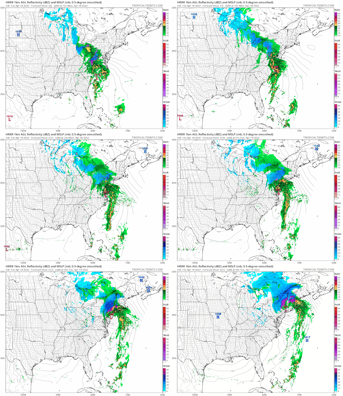
 The HRRR model is from 11am today until 5am Tuesday in 2 hour increments. You can see the tight low hugging the coast bringing up bands of heavy rain through Eastern Pennsylvania and New Jersey into Southern New England. The gradient is tightening up so look for east to northeast winds gusting to 30 to 40 mph along the coast. Rain develops from south to north late this afternoon into tonight and it will be mostly done before daybreak Tuesday. An inch to maybe as much as 1.50 inches of rain is forecast. The low heads northward Tuesday leaving leftover clouds with a gusty wind. As for temperatures they will fall into and through the 40s tonight while it is raining and where it it snowing temperatures will settle close to 32. Tuesday should see highs get back into the 50s during the afternoon in most places.
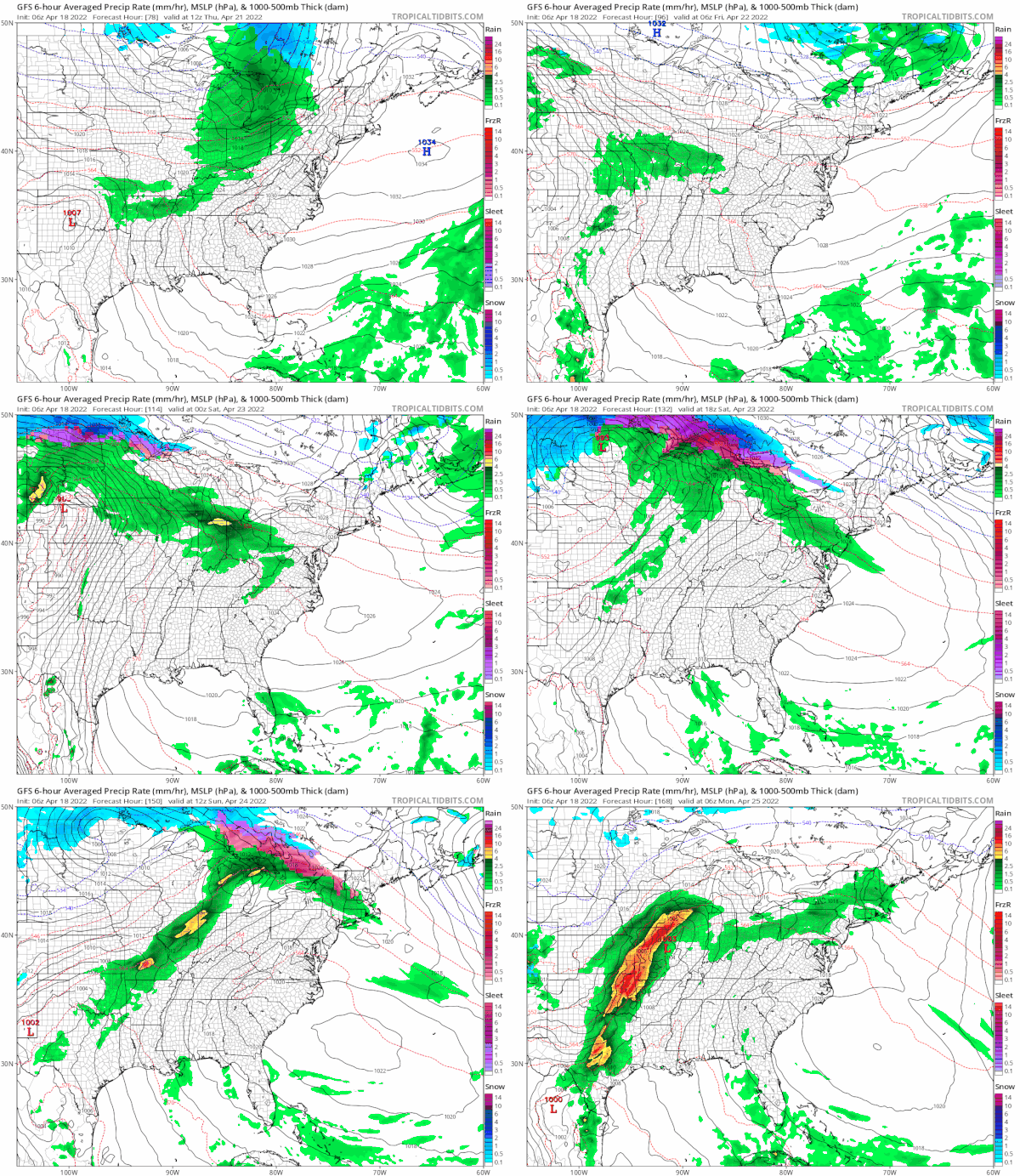
 Weather should improve nicely on Wednesday as high pressure moves offshore and we get into a west wind so highs should reach the 50s to near 60 and into the 60s Thursday. A weak front basically falls apart as it approaches it doesn't look like we will get much from that. Afterwards it will be about a high to the north and whether it builds down to keep temperatures from rising much Friday and into the weekend. Right now it does appear that much of the time into the weekend it will be dry.
BE SURE TO DOWNLOAD THE FREE METEOROLOGIST JOE CIOFFI WEATHER APP &
ANGRY BEN'S FREE WEATHER APP "THE ANGRY WEATHERMAN!
MANY THANKS TO TROPICAL TIDBITS & F5 WEATHER FOR THE USE OF MAPS
Please note that with regards to any severe weather, tropical storms, or hurricanes, should a storm be threatening, please consult your local National Weather Service office or your local government officials about what action you should be taking to protect life and property.
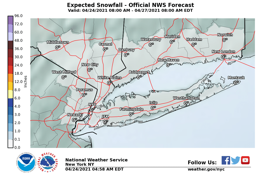
NEW YORK CITY AND VICINITY SNOW
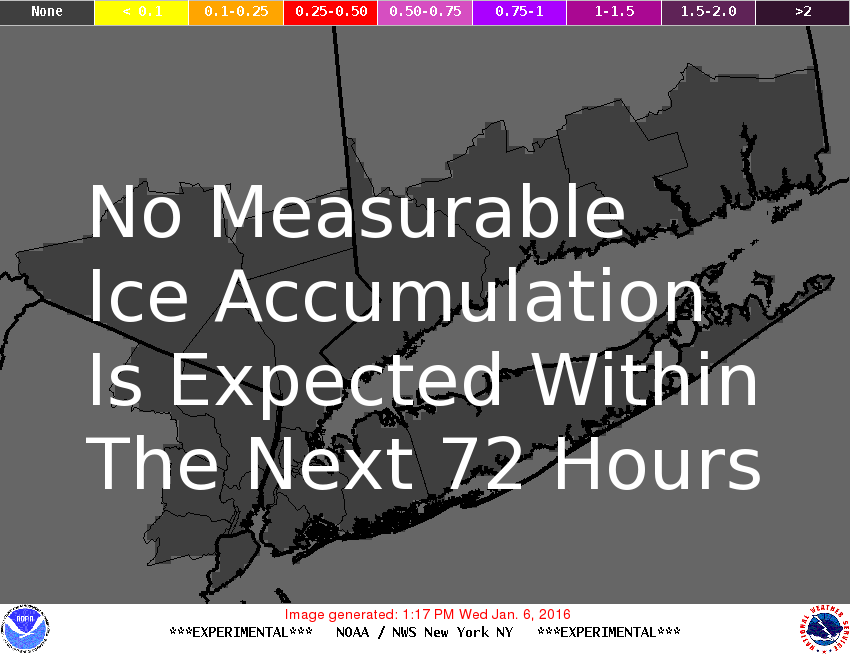
NEW YORK CITY & VICINITY ICE
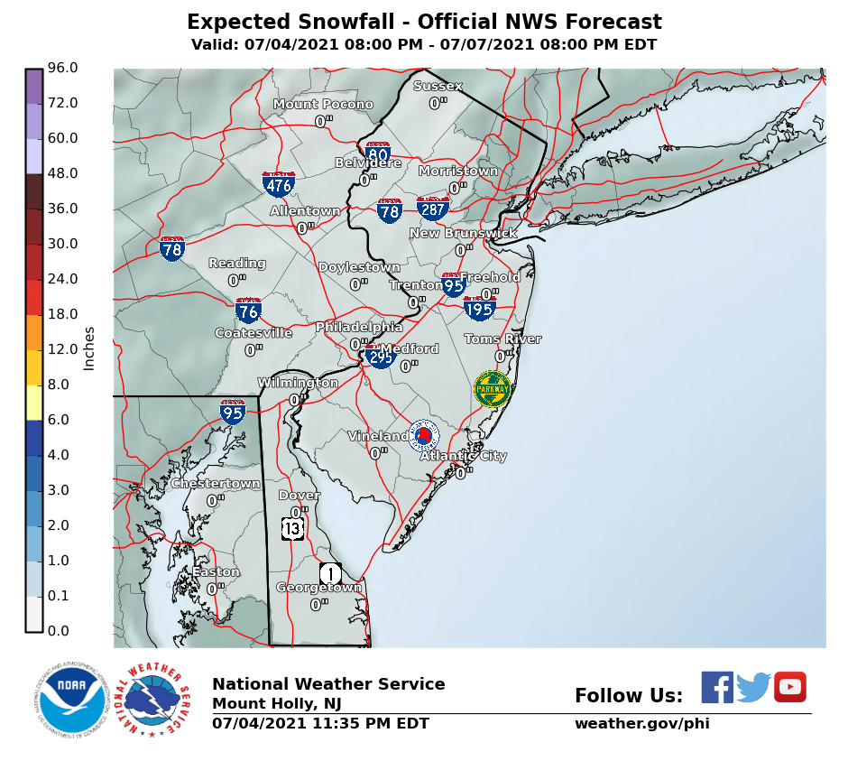
NEW JERSEY & PARTS OF NE PA
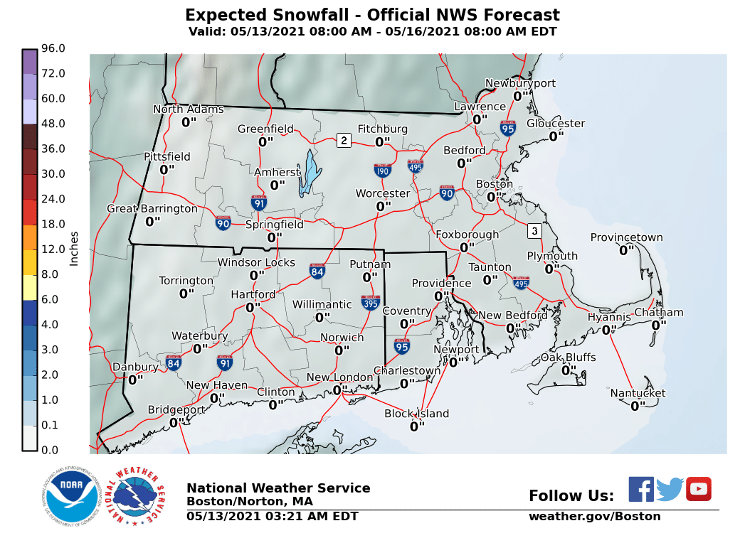
SOUTHERN AND SOUTHEAST NEW ENGLAND
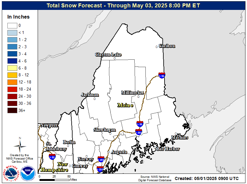
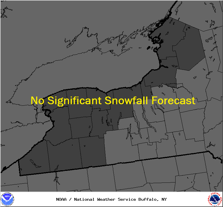
NORTHERN NEW ENGLAND
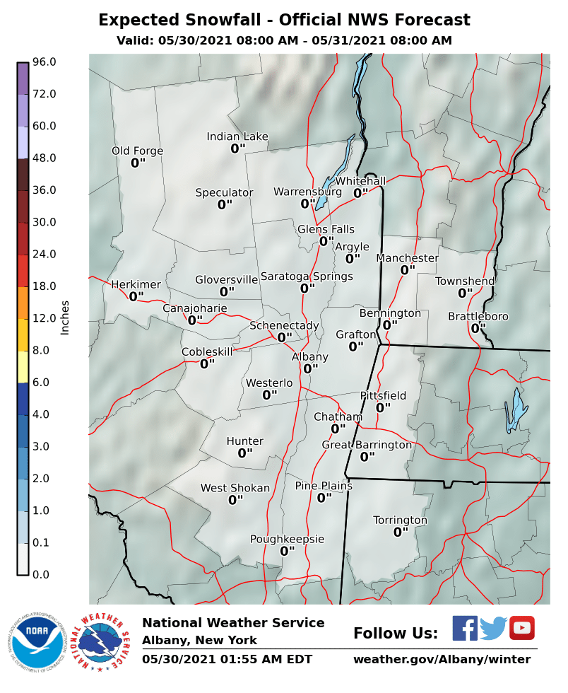
MIDDLE AND UPPER HUDSON VALLEY
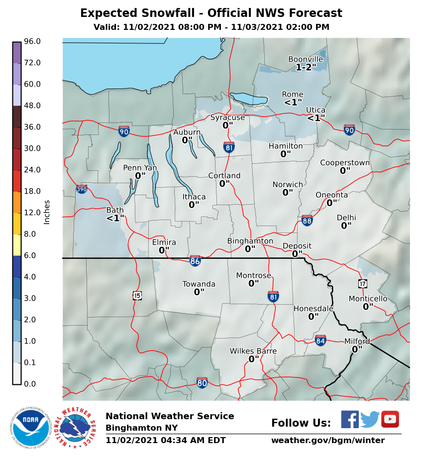
CENTRAL NEW YORK & NE PA
CENTRAL & SOUTH CENTRAL PA
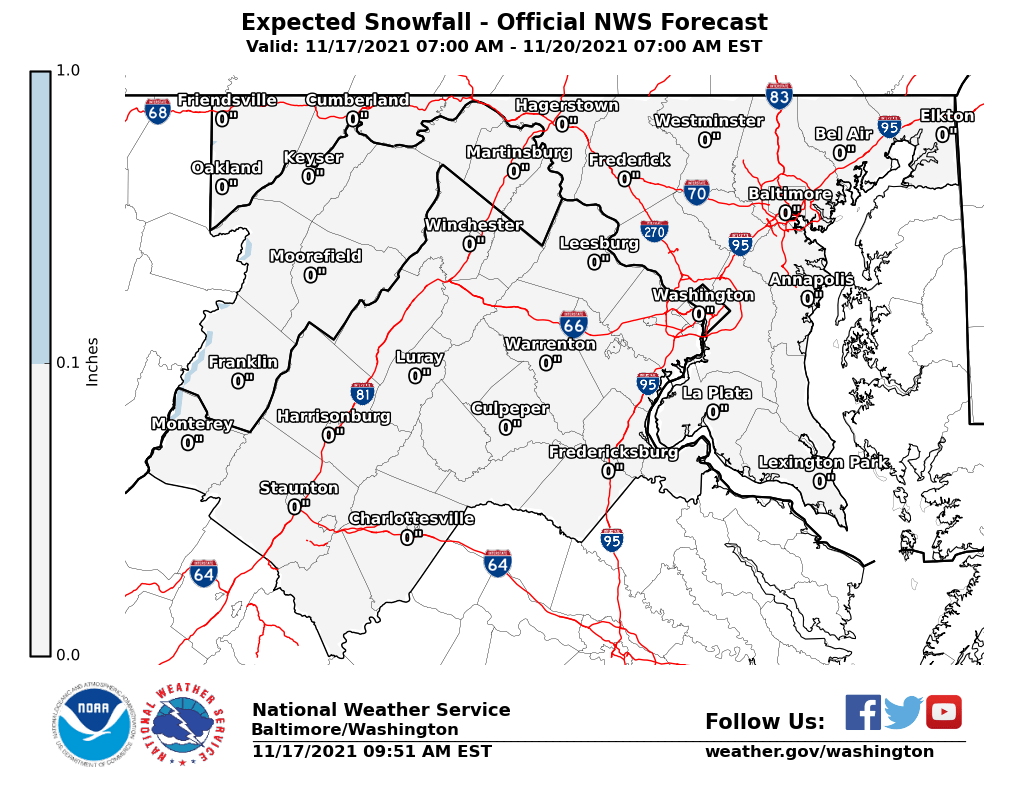
VIRGINIA & MARYLAND
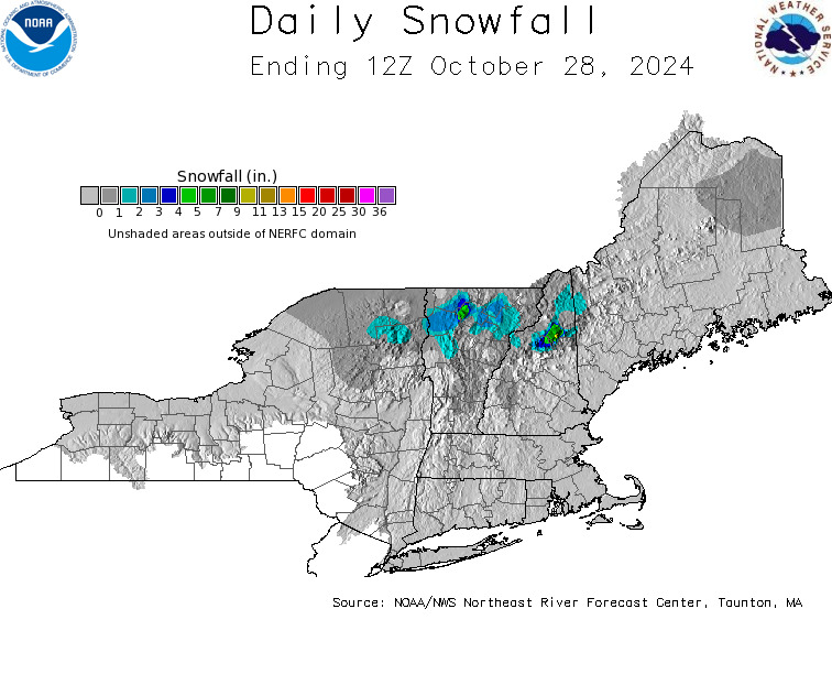
DAILY NORTHEAST SNOWFALL
Please be advised that these are National Weather Service Forecast Maps and they auto update. Each office may update at different times and some offices are slower to update then others. Maps are usually updated before 5am and & 5pm however they may be updated at other times depending on forecast conditions. These are not my forecasts. My forecasts can be found on the JOE’S SNOWFORECAST PAGE. Individual forecasts for specific areas may also be found when conditions warrant on the my area forecasts. Those can be found on the website menu. Click on forecasts and then select your specific area.


