
What I have done here is laid side by side the last 3 runs of the GFS model

What I have done here is laid side by side the last 3 runs of the GFS model

SUNDAY FORECAST FOR NEW JERSEY SKY WEATHER……… MOSTLY SUNNY. HIGH TEMPERATURE…. AROUND 80. BEACH WINDS……… NORTHEAST WINDS AROUND 10 MPH.

High clouds from a coastal low worked its way back westward today and masked some of the sunshine but it

To be honest for the last several months the thunderstorm activity has not exactly been substantial. Yes there have been
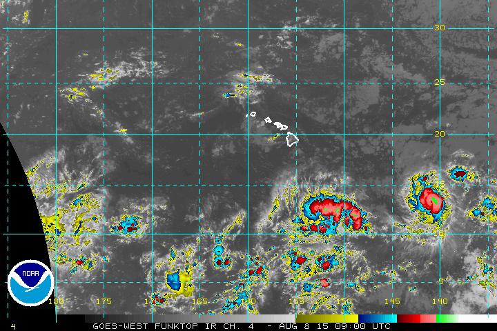
Another hurricane has developed in the Central Pacific and Hurricane Hilda has strengthened to a category 2 hurricane with top

It is a pretty easy forecast for Sunday as high pressure builds down from the north and low pressure is