Sunshine Tuesday Warmer Into Thursday
SHOP THE JOESTRADAMUS STORE
Sunshine Tuesday Warmer Into Thursday
It is a good looking start to another good looking autumn day with lots of sunshine and temperatures that were in the cool 40s & 50s this morning. We will see plenty of sun today once again with hardly a cloud in the sky. Temperatures will reach the low to middle 70s except it will be a bit cooler near the ocean. The big upper high in the east is building strongly but unlike last week the strongest part of the ridge will be to our northwest which is where we will see the warmest temperatures relative to normal. Showers and some thunderstorms are firing up in the from Eastern Nebraska to the Western Great Lakes but none of that action is coming here.
SATELLITE LOOP
REGIONAL RADAR
Radars are quiet and calm across the Northeast & Middle Atlantic States and will remain quiet through Wednesday. Indeed Wednesday will be another day of great weather with sunshine and highs in the mid to upper 70s. Thursday we will see 80s and we will also see a cold front move through with perhaps a couple of passing showers but it will be dry for the most part.
RAIN POSSIBILITIES NEXT WEEK HINGE ON TROPICAL DEVELOPMENT
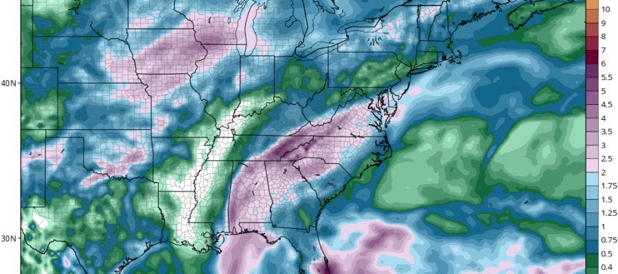
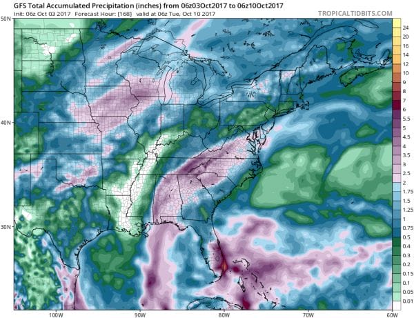
As far as rain is concerned as it has become very dry over the last 5 weeks, we are going to have to pin our hopes on the possibility of something tropical or subtropical coming out of the Gulf of Mexico/Northwest Caribbean. Last night’s European model shows some sort of tropical system developing in the Gulf with the remnant moisture and low moving up the East Coast early next week. The GFS is similar in its idea but perhaps a bit less developed. Since the usual rule is when in a dry pattern don’t try to out forecast the models as they tend to over do the amount of rain we will lean to the idea of less rather than more for the moment. Certainly nothing of consequence other than a passing shower Saturday or Sunday is in the forecast for the moment. This will all come for Monday and Tuesday of next week.
FOR MORE ON THE PROSPECTS FOR THE LONG RANGE TROPICAL DEVELOPMENT SEE THE LATEST JOESTRADAMUS POST
 GET JOE A CIGAR IF YOU LIKE
FiOS1 News Weather Forecast For Long Island
FiOS1 News Weather Forecast For New Jersey
FiOS1 News Weather Forecast For Hudson Valley


