Sunshine Cold Thursday Rain Weekend
Sunshine Cold Thursday Rain Weekend
Now that yesterday’s storm system is gone we can recover today in the throws of the next shot of cold air that will be bringing us sunshine. However it is yet another cold air mass that is not going to last more than a day or so as the weather pattern continues to be about as progressive (everything moving west to east) as you can get.
THURSDAY’S FORECAST HIGH TEMPERATURES
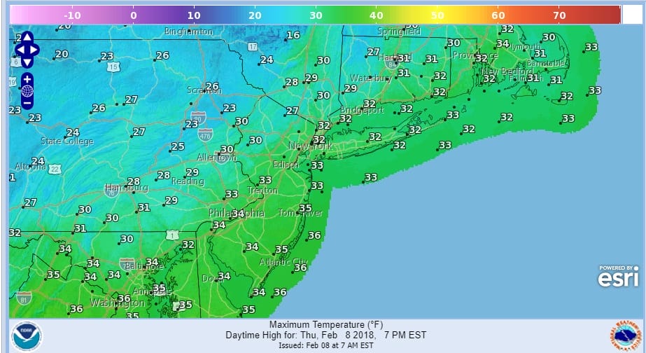
High temperatures today won’t be much above the upper 20s and lower 30s. Any standing moisture froze overnight making for skating rink conditions inland this morning so exercise caution. It isn’t as if any of what is on the ground inland is going to go away anytime soon.
On the satellite this morning we see nothing more than some patchy clouds. To the west clouds coming out of the Rockies will mark the next round of snow that will be spreading across the Plains and Midwest tonight and Friday. As for us the radars will be quiet into Friday morning.
US SATELLITE

REGIONAL RADAR

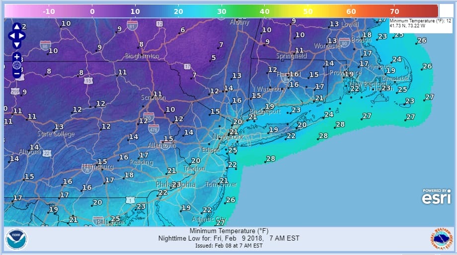
Tonight will be a very cold night with mainly clear skies as temperatures drop to the teens and lower 20s. There will be single digit lows north and west of the coast where skies are clear and winds are light thanks to the fresh snow cover.
FRIDAY MORNING FORECAST LOW TEMPERATURES
We will cloud up on Friday as a weakening system from the Midwest moves to the east. Much like Tuesday where there were some snow showers that moved through that could happen again late Friday afternoon and evening but the bulk of this will go by to our north and it will have little consequence here. This ushers in a milder flow for the weekend. The next wave of low pressure however will be moving northeast from the Gulf States. While this wave will likely track near us or just to our south, there will be no cold air around. It could however produce another decent amount of rain.
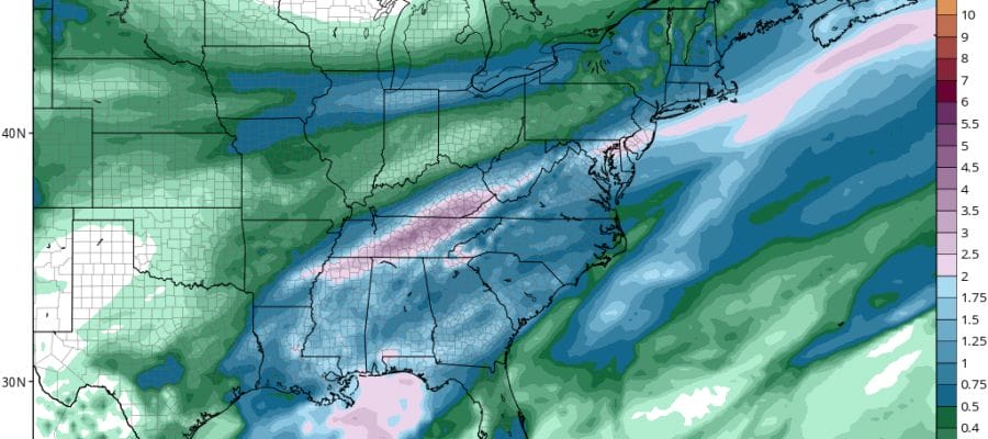
GFS FORECAST RAIN FOR THE WEEKEND
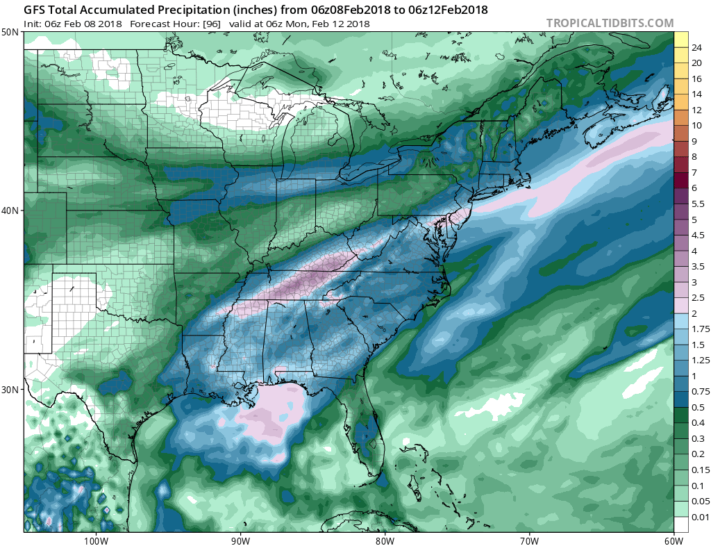
This could turn into another 1 to 2 inch rain producer for someone. At least the overall weather pattern has turned wetter with weather systems moving along here at a more frequent rate. It comes with a limited cold flow out of Canada which is keeping snows inland and west. This could change later next week as the overall pattern may be in for a bit of an upheaval. We will look at this closer later today.
 GET JOE A CIGAR IF YOU LIKE

FiOS1 News Weather Forecast For Long Island
FiOS1 News Weather Forecast For New Jersey
FiOS1 News Weather Forecast For Hudson Valley


