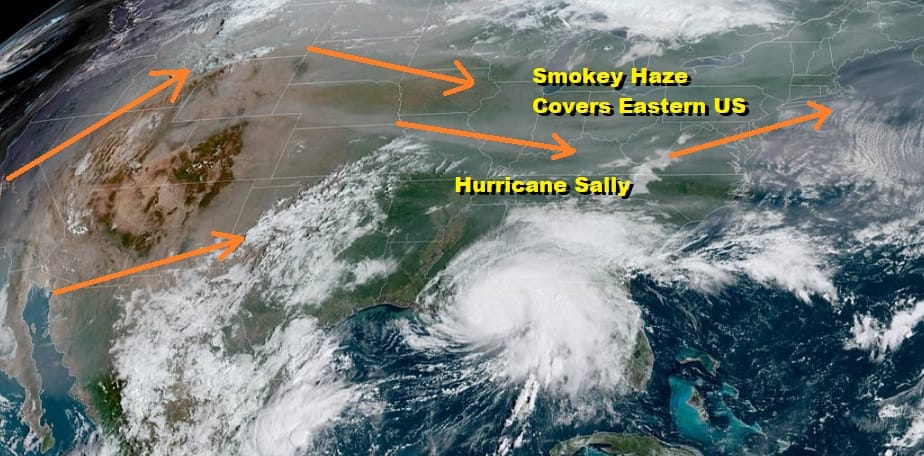
Smokey Haze From California Wildfires Masking Sunshine Today Wednesday
We should be enjoying a late summer day of deep blue sky and sunshine however due to the wildfires in the West and the current upper air jet stream pattern we are sitting in a smokey haze which is quite evident on the satellite picture below. Those aren’t clouds that cover the northeast. That light grey shading is the smoke at levels around 20 to 30 thousand feet or so. At least it is cool out today. We bottomed in the 50s this morning and for the first time since late May, temperatures this afternoon won’t get out of the 60s!
SATELLITE

REGIONAL RADAR

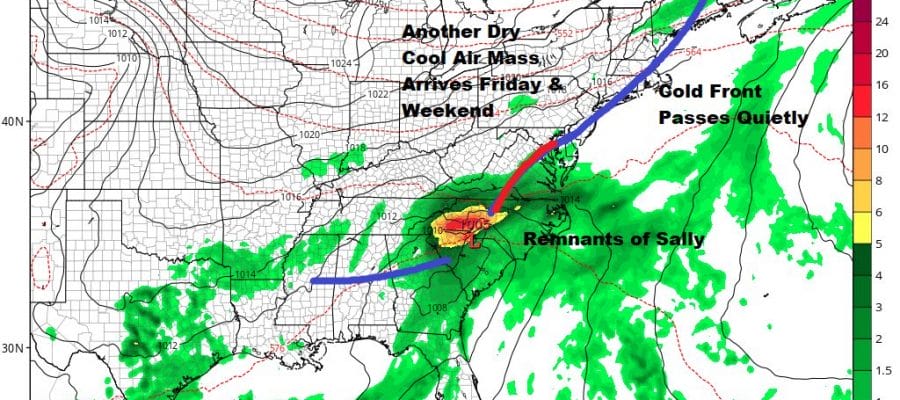
There are no issues on the radar as far as showers are concerned. In fact it is conceivable that we won’t see any rain here through the weekend and into early next week. Thursday we see a cold front and there might be an isolated passing shower and that’s it. The northwest flow from Canada is dry one. Unfortunately it is also one where the smoke from the West moves northeastward and the eastward across the US and to us. That pattern in the upper air is going to hold for the next week to 10 days.
With that in mind it is a clear sky forecast tonight though again that smokey haze will be there. Lows by morning will be in the 40s away from the coast and warmer urban centers with low to mid 50s everywhere else. High pressure moves out to the east Wednesday so it will be another day of hazy sun though highs should make it back into the 70s.
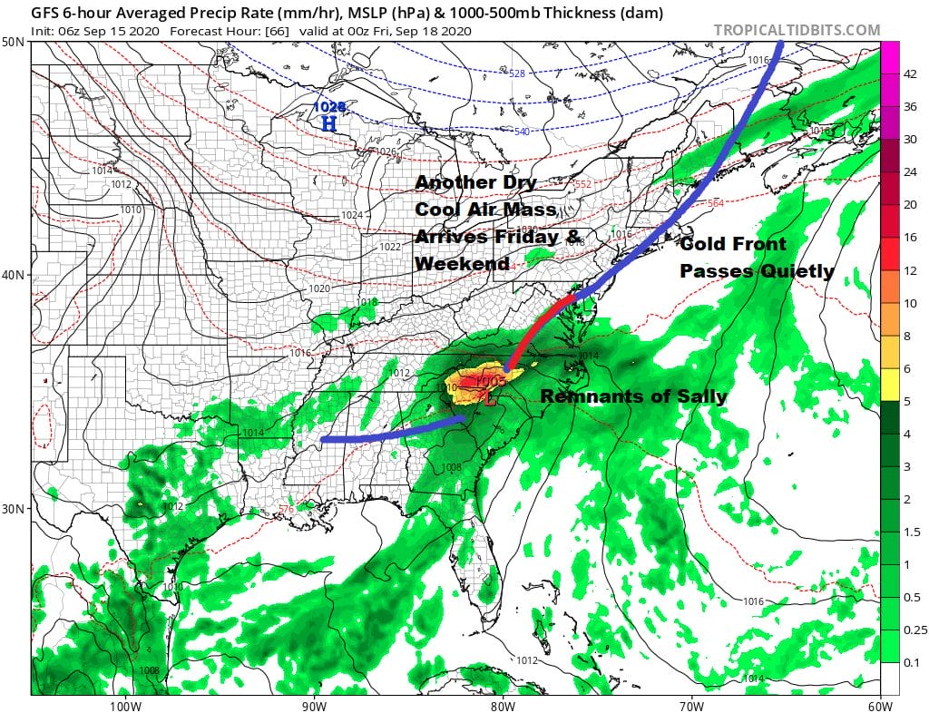
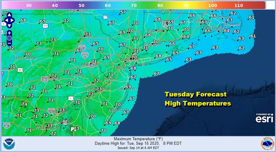
Thursday a cold front approaches. By then what is left of Hurricane Sally will have been absorbed by a frontal wave and that wave will be passing to our south and east. Other than an outside chance for an isolated shower we should see some sunshine Thursday with highs in the 70s to around 80 degrees. The front passes and the next high builds into the Northeast and Northern Mid Atlantic states for Friday and the weekend. We should see lots of sunshine Friday right though at least the early if not the middle part of next week. As for temperatures Friday it will be in the upper 60s and lower 70s for highs. Saturday and Sunday highs will be just in the 60s and nights will down in the 40s inland and lower 50s near the coast. It will be a cool finish to a humid summer and a delightful stretch of weather ahead. We will however still have that smokey haze in the sky until the rains come to the Western US and that is not in the cards anytime soon.
BE SURE TO DOWNLOAD THE FREE METEOROLOGIST JOE CIOFFI WEATHER APP &
ANGRY BEN’S FREE WEATHER APP “THE ANGRY WEATHERMAN!
MANY THANKS TO TROPICAL TIDBITS FOR THE USE OF MAPS
Please note that with regards to any severe weather, tropical storms, or hurricanes, should a storm be threatening, please consult your local National Weather Service office or your local government officials about what action you should be taking to protect life and property.


