Showers Moving Out Sunshine Sunday & Monday
DOWNLOAD LIVESTREAM APP FREE ON ITUNES
Showers Moving Out Sunshine Sunday & Monday
Radars are showing a few showers moving through in some places but as usual they seem to be rather underwhelming in nature. This was no real surprise as the severe weather risk seemed somewhat overstated to begin with. Radar shows one band of heavy thunderstorms passing well to the north in Western New England while another weaker area lies wll to the south in Eastern Maryland and Virginaia. Moving forward we see dry air moving out of the Great Lakes and Pennsylvania and that is headed our way later tonight.
SATELLITE LOOP

REGIONAL RADAR

LOCAL RADAR NEW YORK CITY

LOCAL RADAR PHILADELPHIA


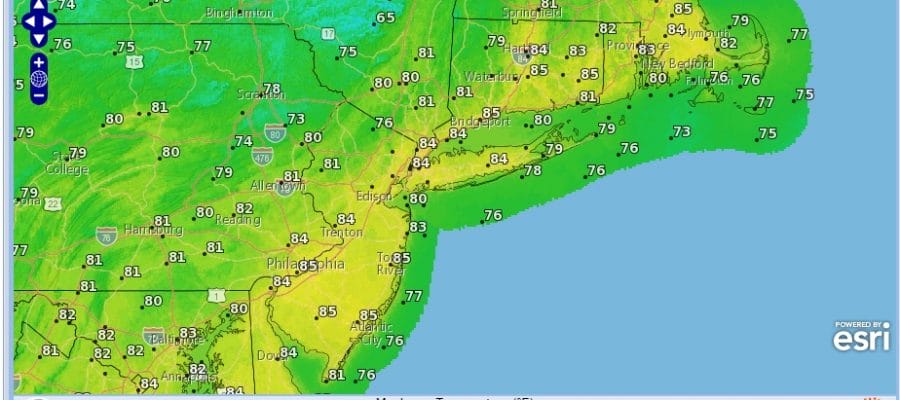
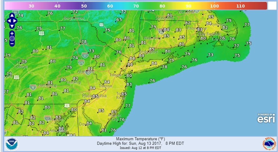
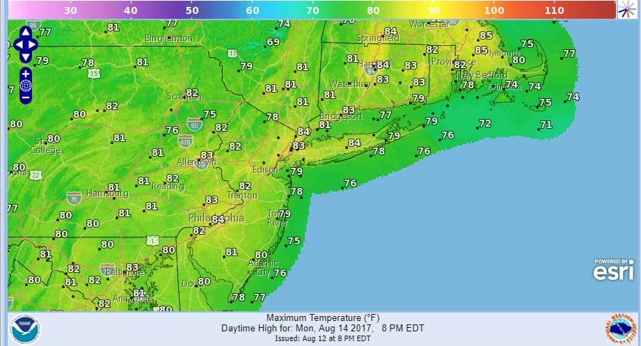
Sunday and Monday look like two nice days with sunshine, reasonable humidity and highs mostly in the low to mid 80s Sunday with nights in the 60s. Monday will be a shade lower with most highs in the lower 80s.
SUNDAY’S FORECAST HIGH TEMPERATURES
MONDAY’S FORECAST HIGH TEMPERATURES
Much of this week looks quiet weather wise until we get to Thursday when the next warm front cold front combination approaches with the chance for some showers. Tuesday low pressure goes by to our south and with that there could be some clouds in the mix but nothing more. Most highs Tuesday through Thursday will be in the low to mid 80s.
 GET JOE A CIGAR IF YOU LIKE

FiOS1 News Weather Forecast For Long Island
FiOS1 News Weather Forecast For New Jersey
FiOS1 News Weather Forecast For Hudson Valley


