ANOTHER SHOWER OR THUNDERSTORM TODAY WARM HUMID
LOW HUMIDITY SUNSHINE THURSDAY FRIDAY SATURDAY
TURNS VERY WARM MORE HUMID SUNDAY & NEXT WEEK
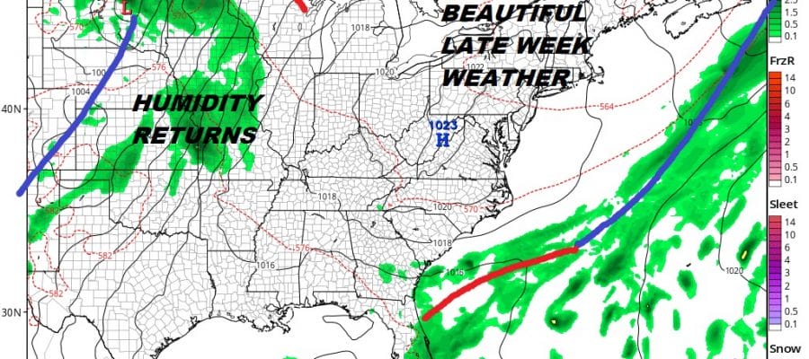
We had downpours and some thunderstorms move through overnight as a warm front went by. Now we are in warm humid conditions for today with another shower or thunderstorm possible into this afternoon until a cold front passes offshore. There probably won’t be enough daytime heating to produce widespread thunderstorm activity today but an isolated strong or even severe thunderstorm is not impossible. Then the payoff finally arrives. Dry air is over the Great Lakes and Midwest and spreads eastward into the Northeast & Middle Atlantic states tonight.
EASTERN SATELLITE

REGIONAL RADAR

Local and regional radar show the overnight rains well to the north and on the regional radar we can see the beginnings of some showers and thunderstorms with approaching cold front. Temperatures today will reach into the 80s particularly in areas that see some breaks of sunshine.
LOCAL RADAR NEW YORK CITY

LOCAL RADAR PHILADELPHIA


Skies will clear out tonight and that sets us up for great weather for the Thursday through Saturday time frame. Sunshine will dominate, humidity will be very low, and temperatures will be in the 70s to near 80 Friday and Saturday and upper 70s to low 80s Sunday. We are pretty much done with showers except well inland on Thursday due to the cold unstable air aloft but those showers will be very few and very far between. It is a world of #greatweathergreathair
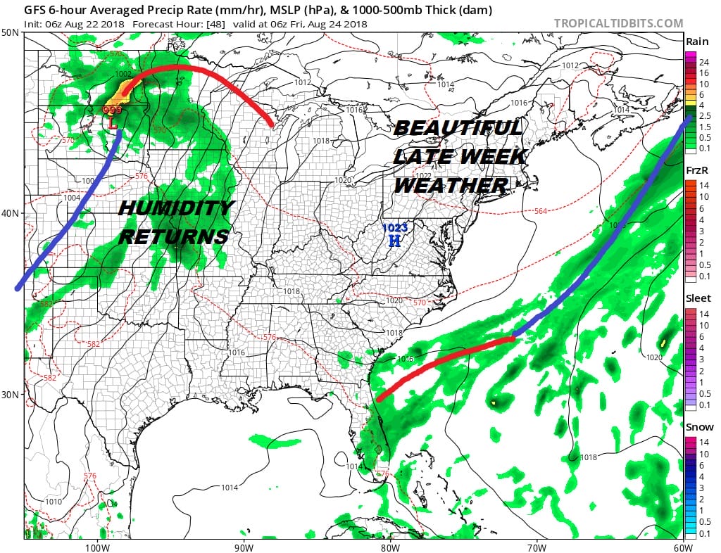
Sunday begins the return to very warm conditions with increasing humidity. We head into next week looking at a prolonged periods of very warm to hot weather with high humidity but I don’t think temperatures will be at any extreme. We will probably see highs in the mid 80s Sunday and upper 80s to around or just over 90 Monday through Wednesday of next week.
MANY THANKS TO TROPICAL TIDBITS FOR THE USE OF MAPS
Please note that with regards to any tropical storms or hurricanes, should a storm be threatening, please consult your local National Weather Service office or your local government officials about what action you should be taking to protect life and property.
LATEST JOESTRADAMUS ON THE LONG RANGE


