Cold Front Arrives Very Cool Early Autumn Weather This Weekend
WEATHER IN 5 PODCAST
Today we see the change in air masses as we have a cold front approaching and we see the remaining rain from Hurricane Sally which is now a tropical depression and soon to become a remnant low. Clouds are to our south and the area is sliding more to the east than to the north. The cold front that will be coming through tonight really won’t have much with it. We will spend the day in sunshine and some clouds. It will warm up today though the smokey haze from the wild fires continues. That cuts down on the daytime heating so highs today will be mostly in the 70s.
SATELLITE
REGIONAL RADAR
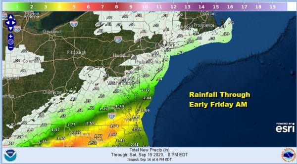
Tonight the rain from the south will make it far enough north to bring a brief period of rain for Southern New Jersey and maybe it touches Eastern Long Island. Rainfall amounts will be minimal and any showers really should be few and far between overnight.
Friday will start with lots of clouds but as the frontal wave to the east moves away weather conditions will improve. We should have decreasing clouds and increasing sunshine as Friday wears on. Temperatures will be just in the 60s. This is going to set us up for a very cool weekend. High pressure will be building in from the north giving us an early taste of Autumn.
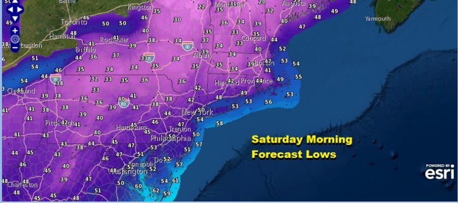
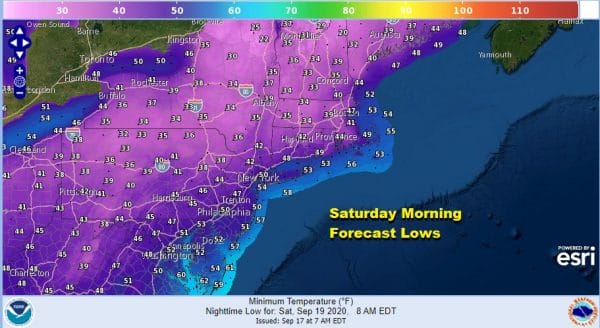
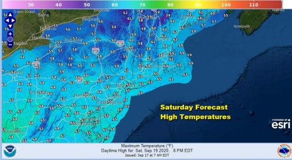
Saturday morning lows will be in the 40s to near 50 in many locations and 30s will be common across Northern Pennsylvania northeast into New England. Saturday highs will be just in the 60s with cool areas well north mostly in the 50s.
We should see lots of sunshine all weekend though again we will be dealing with the smokey haze due to the wild fires. Sunday morning we will again in the 40s with 30s in cold spots north and west of the coast and highs will be again just in the 60s. We will do it again for Sunday night and Monday.
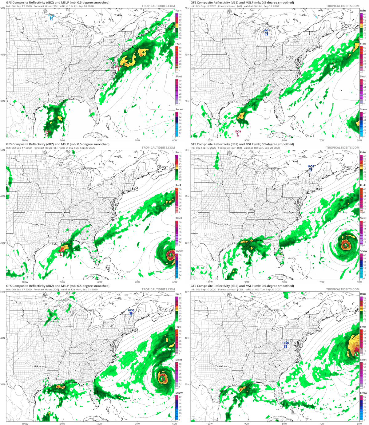
It seems we could be dry all of next week and we will be on the cool side of normal much of the time. On the lower right we see Hurricane Teddy taking a run at Bermuda Sunday night into Monday. After that there is some uncertainty regarding whether Teddy takes a track straight north or does it slide out more to the east. A straight north motion could mean a threat to Nova Scotia or even Southeast Maine. Also we will likely see another tropical storm develop in the Western Gulf of Mexico over the next several days. Neither storm is an issue for Eastern Pennsylvania to Southern New England.
BE SURE TO DOWNLOAD THE FREE METEOROLOGIST JOE CIOFFI WEATHER APP &
ANGRY BEN’S FREE WEATHER APP “THE ANGRY WEATHERMAN!
MANY THANKS TO TROPICAL TIDBITS FOR THE USE OF MAPS
Please note that with regards to any severe weather, tropical storms, or hurricanes, should a storm be threatening, please consult your local National Weather Service office or your local government officials about what action you should be taking to protect life and property.

