
With the strong onshore flow that is developing this weekend coupled with a full moon we have a Coastal Flood Advisory in effect for the New Jersey Shore. The impact at high tide will be some minor coastal flooding. What prevents this from being anything more than minor is the absence of a deep storm off the coast. Instead we have lower pressures but nothing organized interacting with high pressure to the north. Those of you headed to the shore or perhaps boating should check the marine forecast as advisories are posted for the coastal waters. The threat for coastal flooding for New Jersey continues possibly into Monday.

The high to the north is the most dominating feature here which is supressing an area of rain to the south and keeping it from moving northward. The easterly flow is also creating rough ocean seas which may cause some minor beach erosion as well. Thankfully this is not being exaggerated by an offshore hurricane because of the timing of the full moon would have made it problematic.
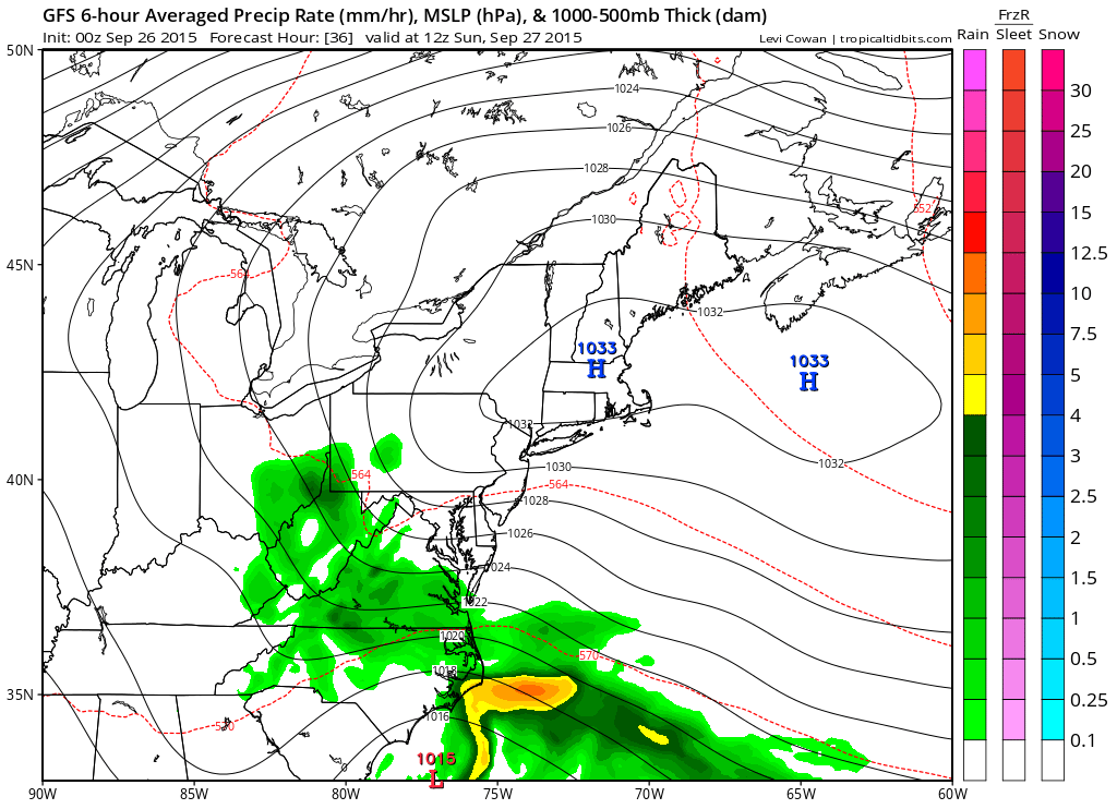
With regards to the weatther for the weekend today is the 13th consecutive day of no rain and Sunday will be 14 as well. With the Pope travelling to Philadelphia there was concern regarding the outdoor Mass on Sunday and the rain to the south. While it appears it will be cloudy all the steady rain looks to stay just south and east of Philadelphia during the day Sunday. Models continue to weaken the area of rain as the upper support moves southwestward and weakens. Still there may be some leftover moisture around on Monday to include the chance for some sprinkles or light rain however given the drought we are in, it seems quite possible that we will miss out that little bit of moisture.
Longer term Tuesday looks to be a rather warm day and we could make a run for 80 before another cold front moves through. Then it is back to another high pressure area to the north and back to an onshore flow that may be with us for awhile from Wednesday and beyond along with cooler temperatures. Wednesday should be in the low 70s and Thursday and Friday we may see temperatures not get out of the 60s all day. There is still no sign of this drought truly breaking down this week so the original prediction I made back 2 weeks ago of 16 days of no rain may go at least 16 days an possibly longer!
Be sure to download my app and subscribe to my forecasts. The app is free and a subscription is just 99 cents a month. The app is free of any advertising and there are no security or tracking issues.