DOWNLOAD MY NEW FREE JOESTRADAMUS WEATHER APP FOR ALL DEVICES
THE APP IS ABSOLUTELY FREE TO ALL BUT CONSIDERING SUBSCRIBING TO PATREON FOR A WEATHER EXPERIENCE FREE OF ADS, EXCLUSIVE VIDEOS FOR MEMBERS ONLY AND MUCH MORE…STARTS AT $2 A MONTH..MESSAGE ME AT ANY TIME
Clean Up Thursday Some Sunshine Weekend Major Storm Great Lakes
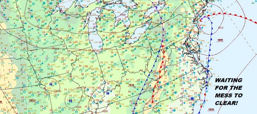
Yesterday’s and last night’s snow ice and rain mess is finally done and we can let nature take care of the clean up today with decreasing clouds and increasing amounts of sunshine developing later today. The satellite picture this morning shows some leftover clouds that we must still chew through but we should see the sun soon enough and that should take highs into the 50s this afternoon. That should be enough to get rid of most of the mess that is around today.

We are done with the radars for a few days at least but you will notice on the regional radar in the lower part of the frame that we still have some showers across North Carolina and Southern Virginia. The frontal boundary with this system is setting up again across the Southern Mid Atlantic westward into the Mississippi Valley.
If you look back on the satellite on the lower left you can see a swirl of clouds. This is the latest round of Western US energy that is coming eastward. A major snowstorm in the Southwest will be headed into the Plains and on to the Great Lakes this weekend.
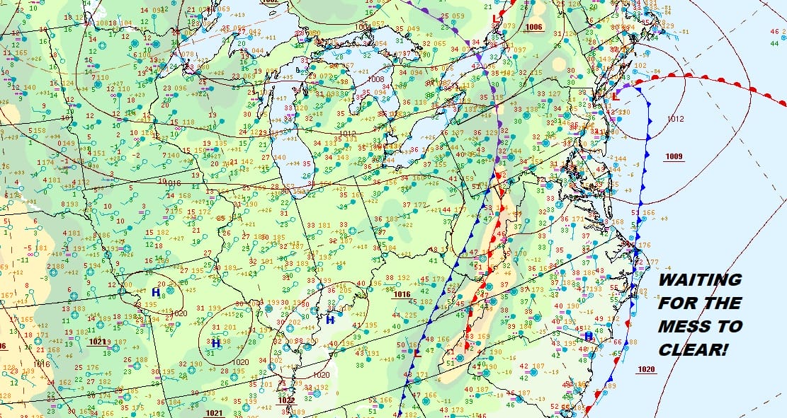
REGIONAL RADAR

With the proximity of the rain to the south for the next few days. clouds will be close by at times. We should see some partial clearing of skies tonight but the cloud line will probably set up somewhere across Southern New Jersey and push back and forth tonight through Friday night. Most lows tonight will be in the 30s and highs Friday will be in the 40s to near 50. Saturday the clouds will head northward as a major storm heads to the Western Great Lakes. This will bring blizzard conditions across parts of Iowa, Wisconsin and Southern Minnesota. Here it brings rain with a south wind Saturday night. Temperatures Saturday will be just in the 40s until the warm front passes through Sunday morning.
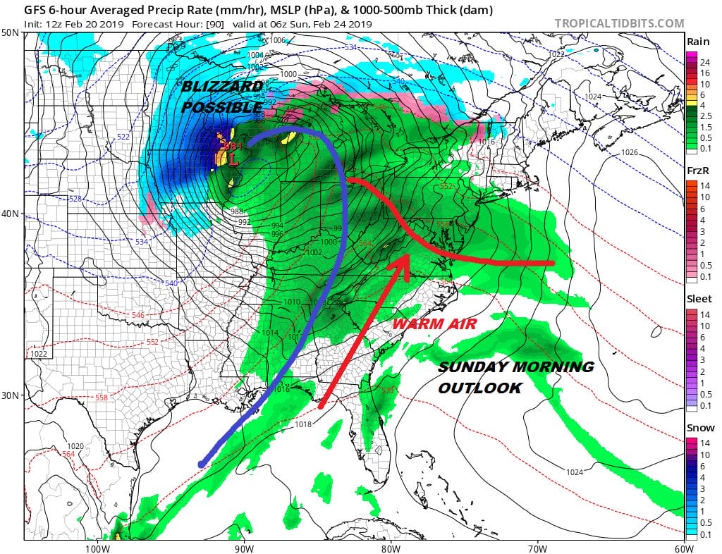
Assuming the warm front gets through we could see 60s here Sunday with some showers. Then the winds will howl from the northwest Sunday night and Monday as this storm heads into Canada. This storm also will be the catalyst for a pattern relaxation that will be occurring later next week into the first 7 days or so of March. This is likely to be the one last window of opportunity for snow lovers to get something before the Pacific jet stream comes roaring back to life later in the month. Weather models have been posting their daily obligatory apocalypse and we will ignore the nonsense for now.
MANY THANKS TO TROPICAL TIDBITS FOR THE USE OF MAPS
Please note that with regards to any tropical storms or hurricanes, should a storm be threatening, please consult your local National Weather Service office or your local government officials about what action you should be taking to protect life and property.


