Below Freezing Until Further Notice
Below Freezing Until Further Notice
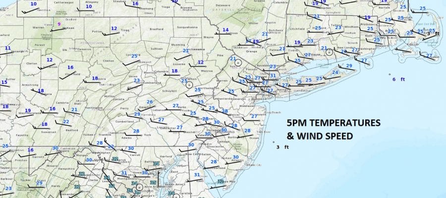
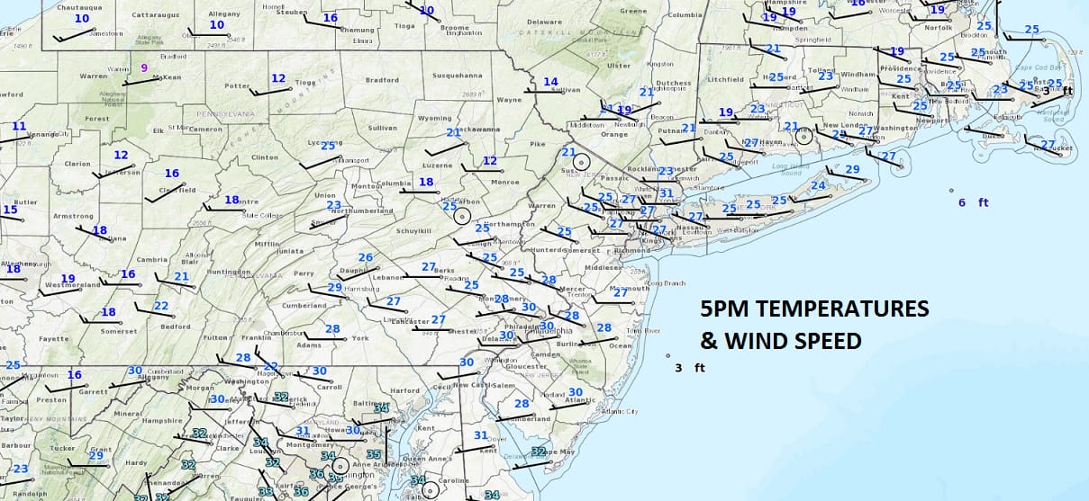
The first of 2 shots of cold air has arrived as temperatures today did not get out of the 20s in most of the area. We did see a fair amount of sunshine but it didn’t do much good as far as warming temperatures were concerned. The map above shows temperatures at 5pm this evening are already low and heading lower as we see lows tonight down in the teens and even some single digits.
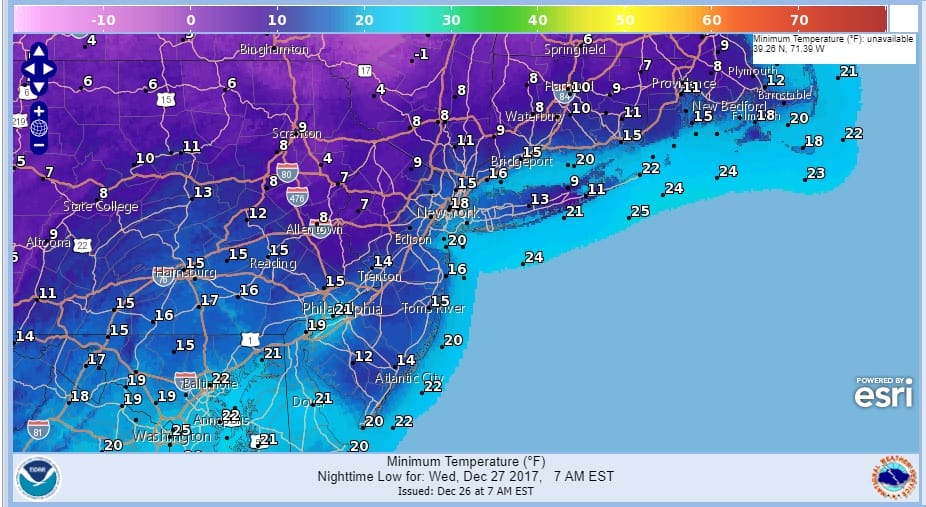
WEDNESDAY MORNING FORECAST LOWS
With all this cold air over the Eastern 2/3rds of the US, it so overwhelming that there really isn’t much room for any storms. In fact except for a few areas seeing snow showers in the Ohio Valley and some lake effect snow action, the weather across much of the US is dry.
SATELLITE LOOP

REGIONAL RADAR

It is going to take another 48 hours or so for the core of this cold air to move in. Wednesday we should see plenty of sunshine but high temperatures will not get much above the low and mid 20s. Then it is another trip down to low teens and single digits for Thursday morning and highs Thursday only in the lower 20s. It will still be frigid on Friday with sun giving way to arriving clouds.
Weather models are unclear about a clipper system on Saturday. It appears that there is a chance for some snow but an argument can be made for just a very cold dry weekend. We will watch to see whether a disturbance coming out of Canada will have enough room to produce some snow Saturday. Even if it doesn’t snow another shot of bitter air will move in for New Years Eve and for the first half of next week.
 GET JOE A CIGAR IF YOU LIKE

FiOS1 News Weather Forecast For Long Island
FiOS1 News Weather Forecast For New Jersey
FiOS1 News Weather Forecast For Hudson Valley


