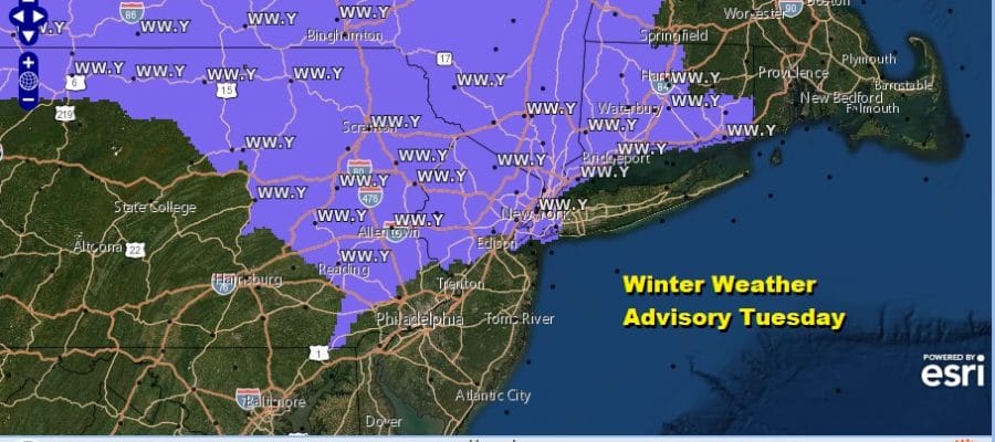
Winter Weather Advisory Continues Joe’s Snow Forecast Map Tuesday Into Wednesday

Weather in 5/Joe & Joe Weather Show Latest Podcast
Winter Weather Advisory Continues Joe’s Snow Forecast Map Tuesday Into Wednesday
Winter Weather Advisory continues for much of Eastern Pennsylvania to Southern New England as our weak storm system continues to slowly move eastward across the Ohio Valley. A weak secondary formed last night offshore and that weakened the precipitation shield across Southern Pennsylvania, Southern New Jersey and Maryland. Now we deal with the dying primary low that will bring a little of everything today and tonight depending on your location.

For the areas that will see some snow today this is what I am forecasting. In general it will be a coating to a few inches from south to north beginning around midday and lasting on and off overnight into early Wednesday morning.

Across Pennsylvania south of Route 78 freezing rain or freezing drizzle will be the issue today as temperatures hover around or just below freezing. Watch for some glazing of surfaces and roadways and just be cautious if traveling.
SATELLITE

The weak nature of this system is evident on the rather uninspired satellite view with clouds all over the place but no real organization as the upper air support is lacking with this system. Look for precipitation to pick up on the regional radar as we go through the day and into tonight.


All of this should wind down Wednesday morning as all the short range weather models show. Then we should sit in leftover clouds during the day Wednesday as we watch for the next round of changes for Wednesday night into Thursday. The NAM loop shows snow but it is all light stuff for the most part.

Wednesday night into Thursday low pressure will move across the Southern Mid Atlantic states with some rain and snow there and this system will not be a bother here. However it will pull down very cold air on strong winds later Thursday and taking us into the weekend.
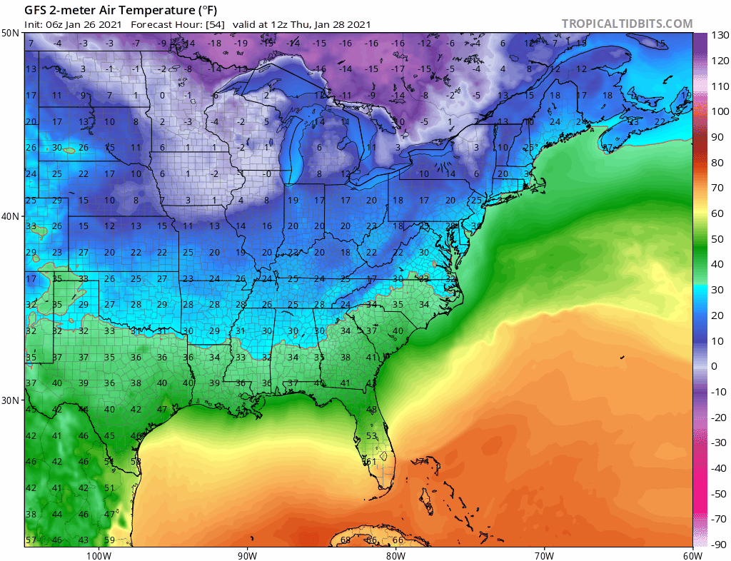
Friday and Saturday look like two days where temperatures will struggle to get out of the 20s in many areas. Then we turn our attention to another storm system approaching for early next week We will have more on this later today on my subscription platform.
BE SURE TO DOWNLOAD THE FREE METEOROLOGIST JOE CIOFFI WEATHER APP &
ANGRY BEN’S FREE WEATHER APP “THE ANGRY WEATHERMAN!
MANY THANKS TO TROPICAL TIDBITS FOR THE USE OF MAPS
Please note that with regards to any severe weather, tropical storms, or hurricanes, should a storm be threatening, please consult your local National Weather Service office or your local government officials about what action you should be taking to protect life and property.
</blockquote


