Winter Storm Watch New England
Winter Storm Watch New England
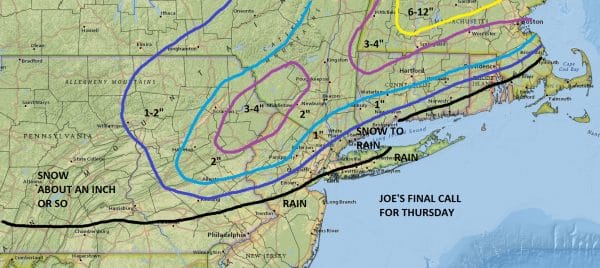
Snow Forecast Final Call Thursday
Winter Storm Watch continues for much of New England for Thursday and Thursday night and based on overnight weather models so far, there is no reason to change the forecasts. I have made my final call regarding snow for our area and I think that Winter Weather Advisories will likely go up for inland areas for Thursday. I think amounts will be more of a nuisance than anything else. With the low developing nearby it favors New England for a solid shot of snow with many areas getting 6 to 12 inches or more. Ski areas will do quite well
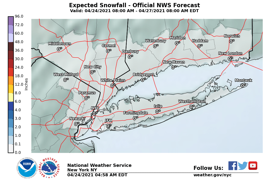
For our area I expect a change to rain to gradually move northward toward Route 84 so how much snow will depend on how fast this occurs. For now I am keeping my snow call conservative. The National Weather Service snowfall maps below are there for comparison. They will update again around 5am.
NEW YORK CITY AND VICINITY SNOW
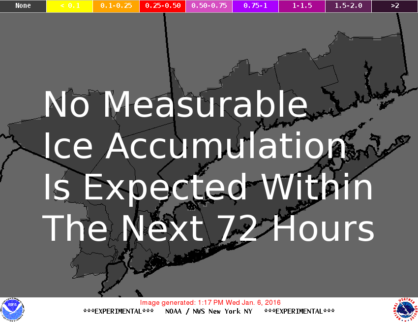
NEW YORK CITY & VICINITY ICE
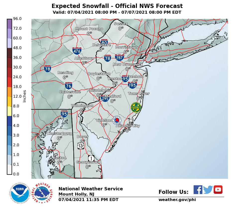
NEW JERSEY & PARTS OF NE PA
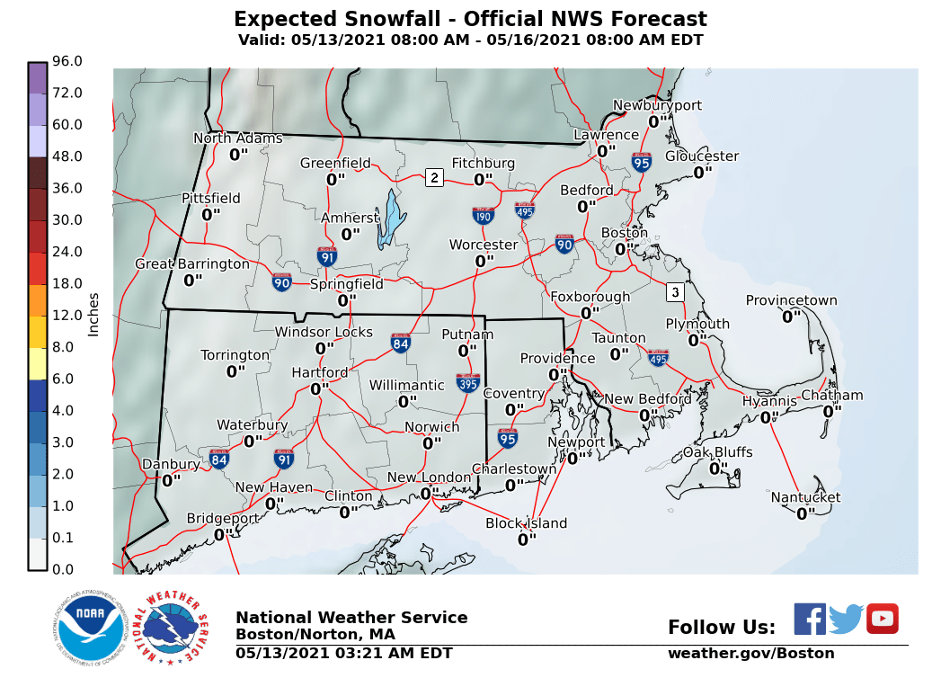
SOUTHERN AND SOUTHEAST NEW ENGLAND
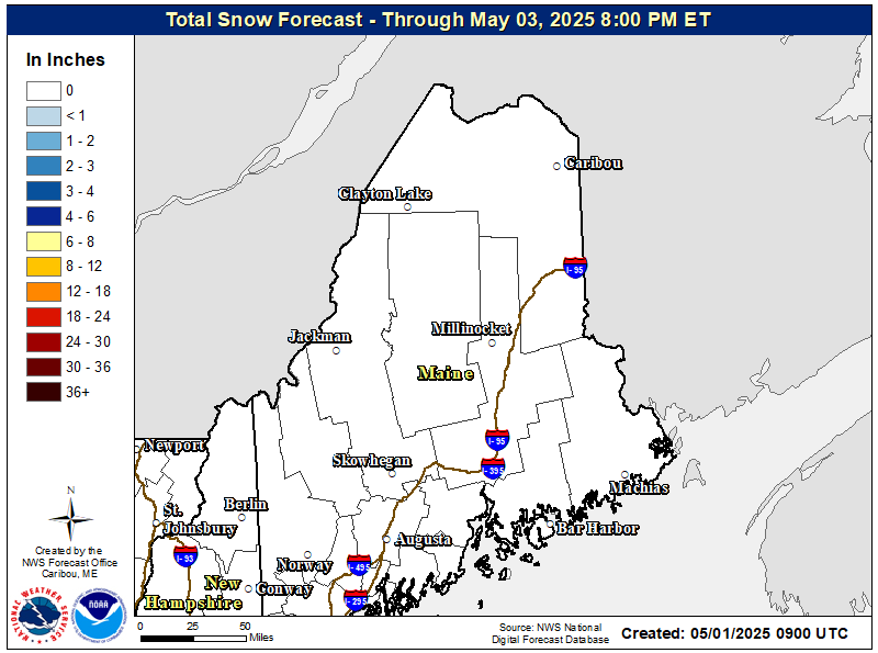
NORTHERN NEW ENGLAND
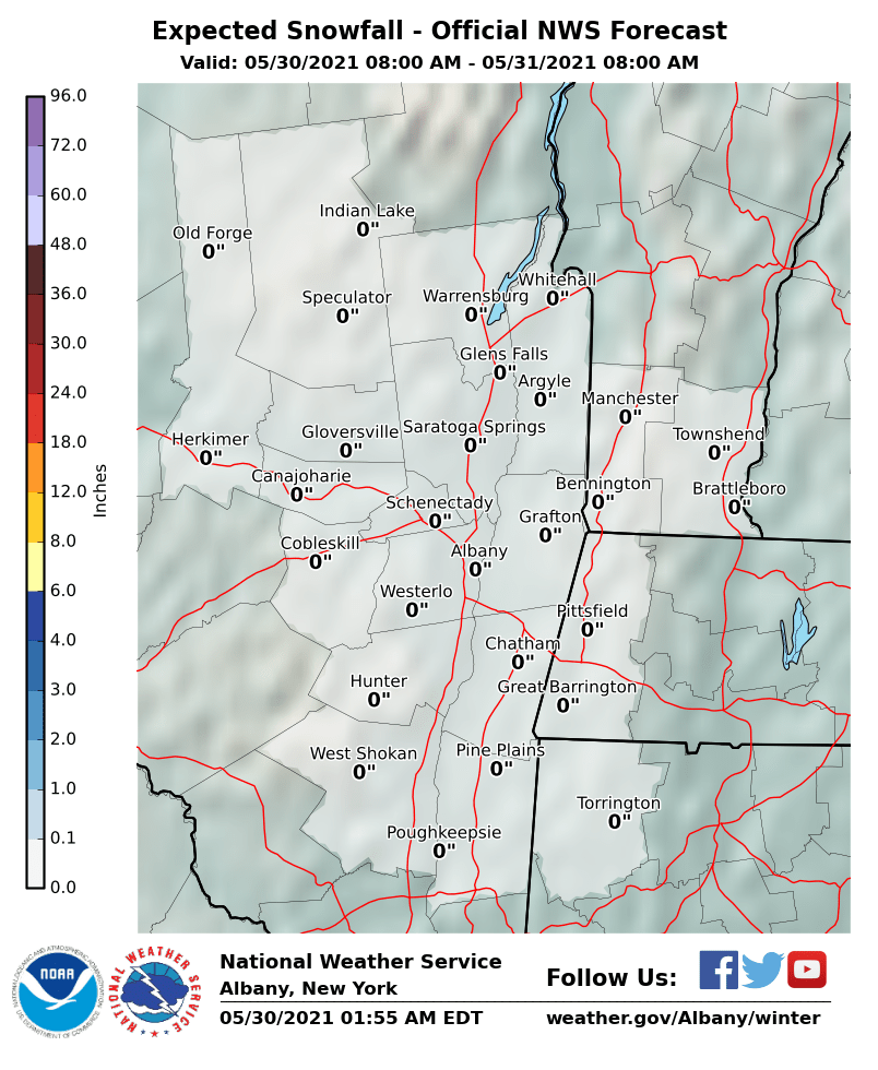
MIDDLE AND UPPER HUDSON VALLEY
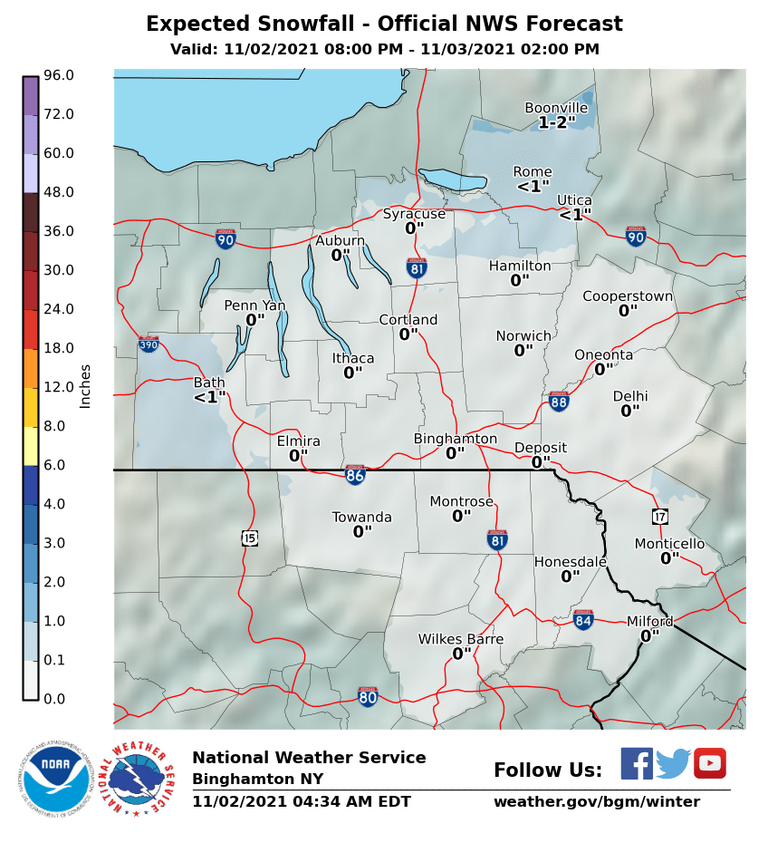
CENTRAL NEW YORK & NE PA
CENTRAL & SOUTH CENTRAL PA
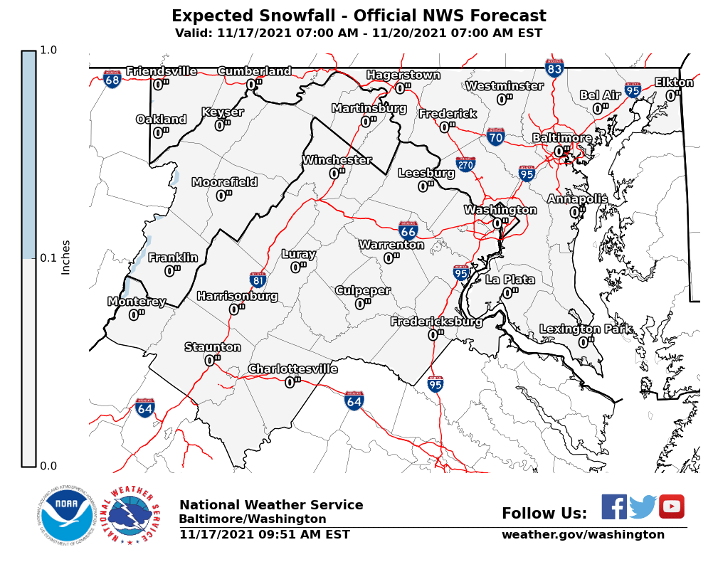
VIRGINIA & MARYLAND
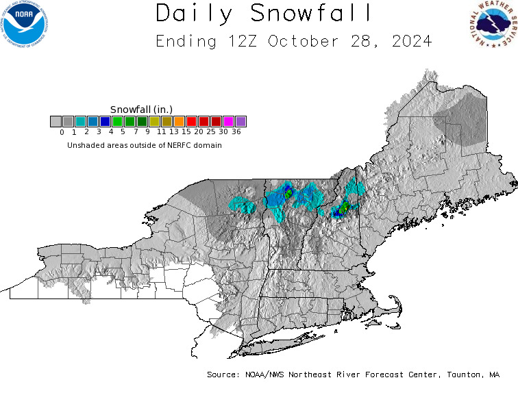
DAILY NORTHEAST SNOWFALL
Please be advised that these are National Weather Service Forecast Maps and they auto update. Each office may update at different times and some offices are slower to update then others. Maps are usually updated before 5am and & 5pm however they may be updated at other times depending on forecast conditions. These are not my forecasts. My forecasts can be found on the JOE’S SNOWFORECAST PAGE. Individual forecasts for specific areas may also be found when conditions warrant on the my area forecasts. Those can be found on the website menu. Click on forecasts and then select your specific area.
SNOW REMOVAL COMPANIES FOR YOUR WINTER NEEDS
LONG ISLAND ROCKLAND COUNTY Connecticut
JOHNSTOWN PA
COLOSIMO LAWNCARE


