DOWNLOAD MY NEW FREE JOESTRADAMUS WEATHER APP FOR ALL DEVICES
THE APP IS ABSOLUTELY FREE TO ALL BUT CONSIDERING SUBSCRIBING TO PATREON FOR A WEATHER EXPERIENCE FREE OF ADS, EXCLUSIVE VIDEOS FOR MEMBERS ONLY AND MUCH MORE…STARTS AT $2 A MONTH..MESSAGE ME AT ANY TIME
Windy Saturday Some Sunshine Develops Nice Sunday
This morning it is about the winds, the leftover clouds and the chilly temperatures. It is in the 30s this morning and the winds are gusting to 30 to 40 mph at times which makes it feel 10 to 15 degrees colder. It is going to be one of those March days where the lion roars however look at least for decreasing clouds and increasing amounts of sunshine as temperatures head for the 40s to near 50. Our storm is beginning to move away to the northeast through Eastern Canada though it is taking its time getting about it. Improving weather conditions will continue tonight with clear skies. Winds should ease with lows in the 30s. Radar activity is minimal this morning and radars will shut down shortly with precipitation expected into Sunday night.
SATELLITE
REGIONAL RADAR
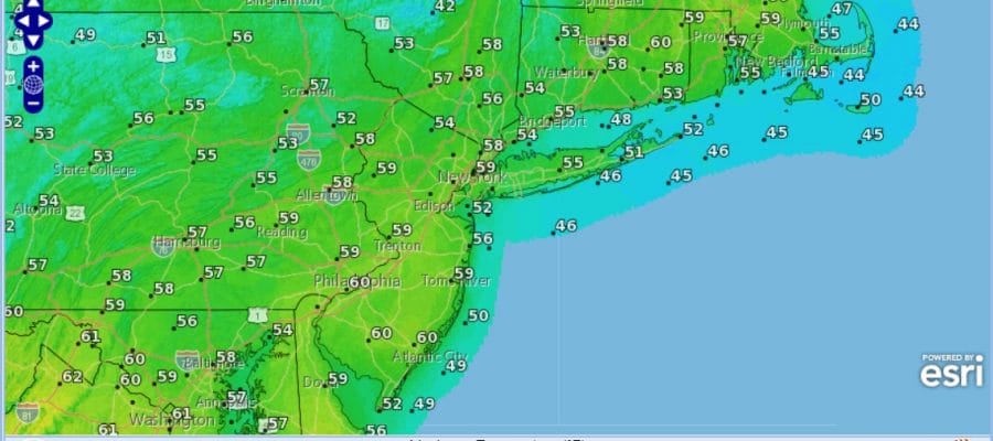
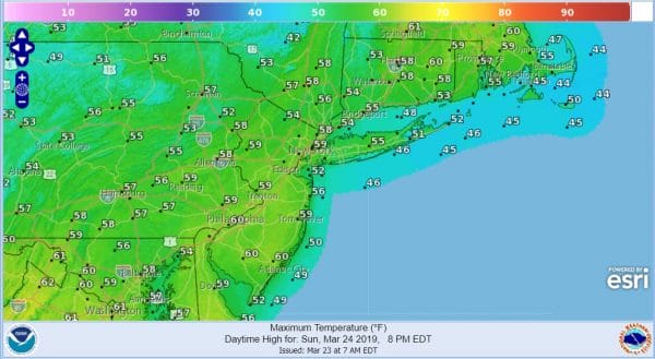
Sunday is shaping up to be a nice day with plenty of sunshine, a west wind and highs reaching the 50s and in some cases near 60. There might be some clouds arriving from west to east later in the afternoon and evening but that really is about it as far as any negatives are concerned. Even along the coast the sea breeze will be kept out until late in the afternoon.
,Monday brings a cold front through in the morning with a few passing scattered showers. Leftover clouds follow Monday afternoon. The front is coming through faster now and the wave that follows will be suppressed so far to the south that it isn’t going to impact our weather at all. Some breaks of sunshine could develop in the afternoon Monday followed by colder temperatures in the 20s by Tuesday morning.
Tuesday and Wednesday of next week high pressure builds in with some sunshine each day and highs just in the 40s. All of next week looks dry. Temperatures warm up somewhat toward the end of the week as a big high moves offshore and the next cold front (which looks weak) doesn’t arrive until sometime next weekend. Quiet times ahead with no serious weather issues, no major storms, and no late season snowfalls. March is going to go out like a lamb it seems.
MANY THANKS TO TROPICAL TIDBITS FOR THE USE OF MAPS
Please note that with regards to any tropical storms or hurricanes, should a storm be threatening, please consult your local National Weather Service office or your local government officials about what action you should be taking to protect life and property.


