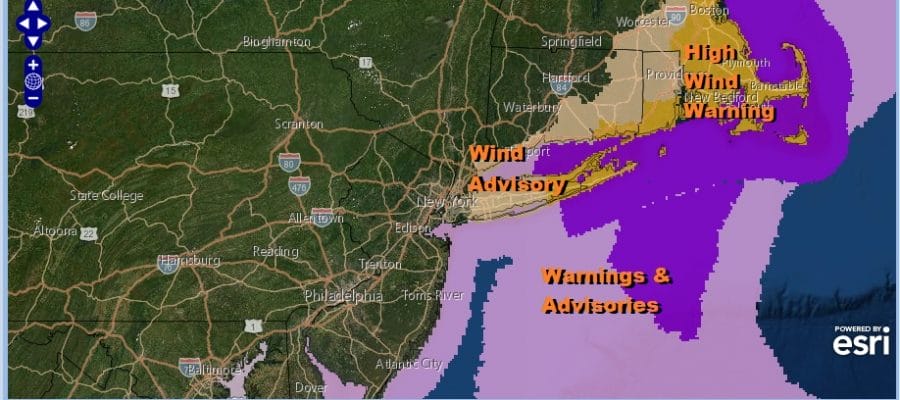
Wind Advisory Coast Strong Ocean Storm Exits Next System Arrives Later Friday

Weather in 5/Joe & Joe Weather Show Latest Podcast
Wind Advisory Coast Strong Ocean Storm Exits Next System Arrives Later Friday

Our coastal storm is behaving as advertised as it is now drifting southward. Overnight rains along the coast added to yesterday’s numbers to bring totals in excess of 6 inches in some places near the coast and lower amounts inland. Weather conditions are improving as the wind has turned northerly. While clouds are lingering near the coast we are seeing some sunshine breakout out inland. As the day wears on we should see improvement spread to coastal areas. Wind advisories and high wind warnings cover areas east of NYC as winds will be gusting to 40 mph or more. Southeastern New England winds are gusting over 50 mph. Inland it will be breezy into the afternoon until the low moves away. Temperatures today will reach into the 60s. Rain is done as the radars show the rain well to the east and offshore.
SATELLITE

WEATHER RADAR

Tonight skies should be partly to mostly clear as the last of any clouds move away. Lows will be in the 40s and winds will diminish. Thursday it seems will be a nice day with partly to mostly sunny skies with highs in the 50s to near 60 in warm spots.
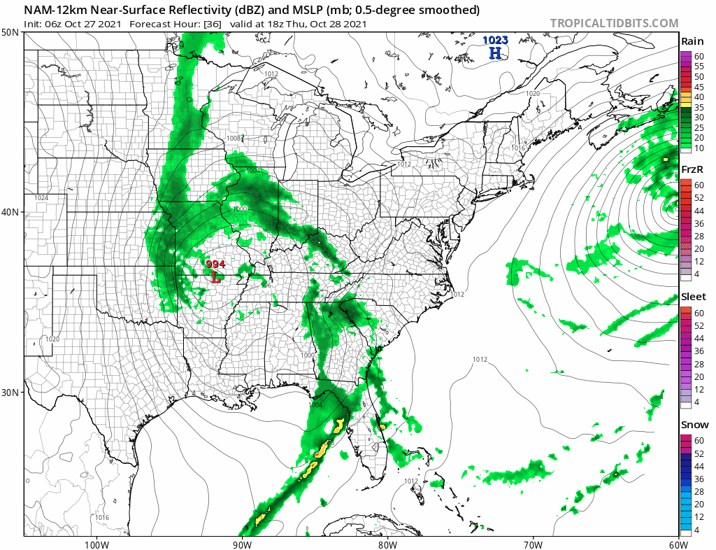
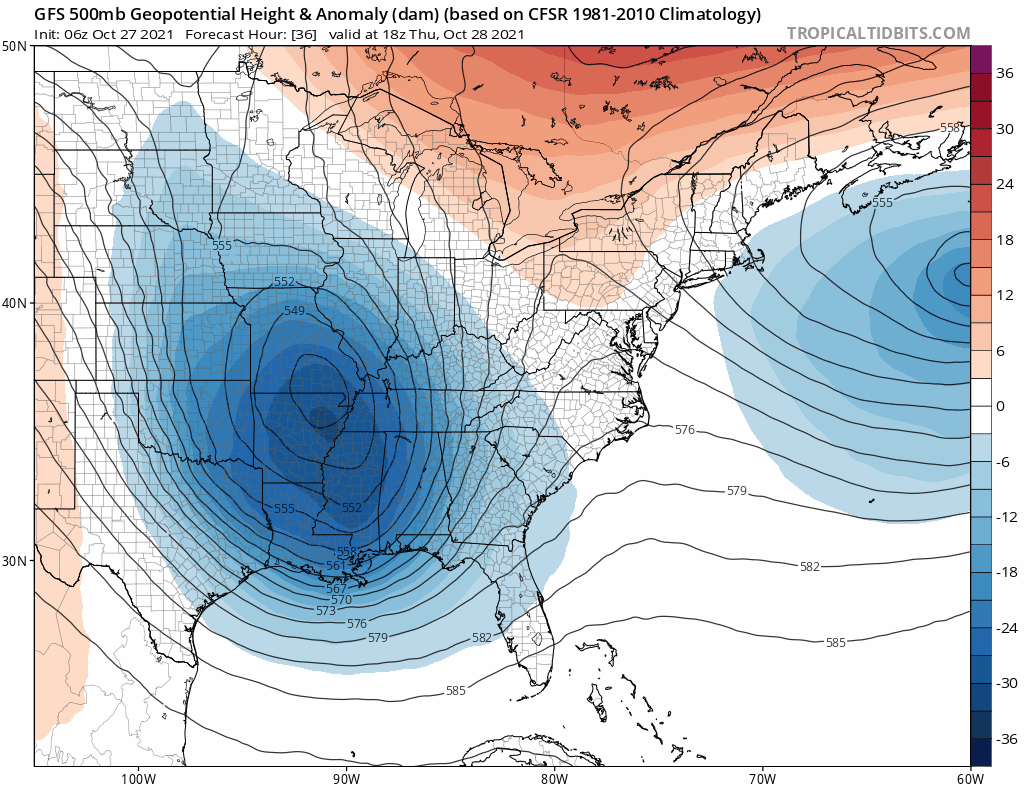
We still have a blocking high in Eastern Canada which holds into early Friday. However the block is going to break down rather rapidly. This will allow the next storm to track to our west rather than underneath us. This will not be a coastal storm. Instead the nam model depicts what appears to be an arm of heavy rain and imbedded thunderstorms lifting northeastward. Friday look for increasing clouds with an increasing southeast wind bringing in moisture. Rain will arrive late in the day Friday and move quickly from south to north Friday night. This will be about 6 hours worth of rain from start to finish and another inch or two of rain is forecast. Friday;s highs will be in the 60s.
The problem with the weekend is that the upper trough takes two days to get out of the way. This will likely leave us in clouds for both Saturday and Sunday. There will be some lingering showers around on Saturday and there may be a scattered shower or two running around on Sunday. It won’t be a washout however with long dry stretches. Temperatures Saturday and Sunday will be in the 60s. Next week looks to be dry and it will turn colder around midweek as a cold front passes Tuesday bringing Canadian air into the Eastern US behind it. At least we will get a break from the rain.
BE SURE TO DOWNLOAD THE FREE METEOROLOGIST JOE CIOFFI WEATHER APP &
ANGRY BEN’S FREE WEATHER APP “THE ANGRY WEATHERMAN!

MANY THANKS TO TROPICAL TIDBITS & F5 WEATHER FOR THE USE OF MAPS
Please note that with regards to any severe weather, tropical storms, or hurricanes, should a storm be threatening, please consult your local National Weather Service office or your local government officials about what action you should be taking to protect life and property.


