
Wet Weather For The Weekend
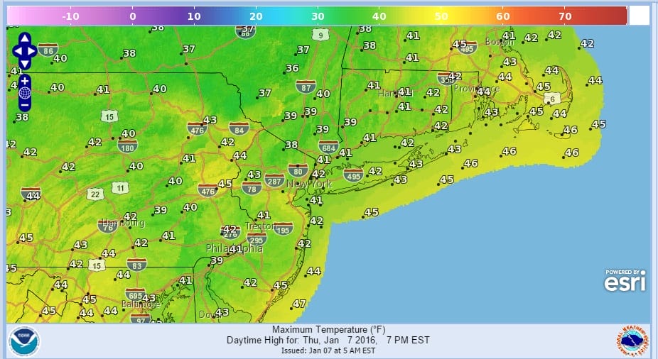
Wet weather is arriving for the weekend but we still have 2 dry nice days ahead with lots of sunshine for today. Temperatures will be moderating a bit more after the chilly start this morning. High temperatures everywhere this afternoon will be in the low to mid 40s. The highs will be about the same for Friday or perhaps a degree or so lower because of onshore winds developing and an increase in cloud cover.
Satellite loop this morning shows the storm off the Florida coast moving northeast and it appears to be getting better organized. A subtropical or even a rare January tropical storm may form out of this as the water temperatures are close to 80 and the low is travelling over the gulf stream. That low is actually helping to give us sunshine today as the air sinks around the offshore system and dries the atmosphere even more.

During Friday we will see clouds from the east come in with the onshore flow developing and clouds from the west as well as the next storm system and cold front begin to gather strength. That storm will head for the Great Lakes but it will have a strong cold front swinging through here on Sunday. Saturday we will see cloudy skies with some light rain but not much and temperatures in the 40s. Those temperatures will rise Saturday night into Sunday morning and reach the 50s.

We should get a decent shot of rain from this front on the order of an inch or so on average. The wet weather will end during Sunday afternoon from west to east and then much colder air follows for the first part of next week. This first storm sets up the next weather system that will dive southeast out of Canada and create the potential for something to form along the east coast Tuesday night into Wednesday. Lots of questions about this and how it plays out. Models are very dynamic but where the development takes place is key. It could be too far offshore to cause any issues however there is room for this to be further to the left and closer to the coast. We have a long way to go on this. 2 videos are up discussing this in detail.
European Video Analysis
GFS Model Analysis
Also be sure to check my latest JOESTRADAMUS post on the GFS and the developing blocking pattern.
NATIONAL WEATHER SERVICE SNOW FORECASTS
LATEST JOESTRADAMUS ON THE LONG RANGE
Weather App

Winter is here! Don’t be without Meteorologist Joe Cioffi’s weather app. It is a complete weather app to suit your forecast needs. All the weather information you need is right on your phone. Android or I-phone, use it to keep track of all the latest weather information and forecasts. This weather app is also free of advertising so you don’t have to worry about security issues with your device. An accurate forecast and no worries that your device is being compromised.
Use it in conjunction with my website and my facebook and twitterand you have complete weather coverage of all the latest weather and the long range outlook. The website has been redone and upgraded. Its easy to use and everything is archived so you can see how well Joe does or doesn’t do when it comes to forecasts and outlooks.
Just click on the google play button or the apple store button on the sidebar for my app which is onMy Weather Concierge. Download the app for free. Subscribe to my forecasts on an ad free environment for just 99 cents a month.
Get my forecasts in the palm of your hand for less than the cost of a cup of Joe!


