Week Ahead Milder Start Colder Middle Milder Late
SHOP THE JOESTRADAMUS STORE
Week Ahead Milder Start Colder Middle Milder Late
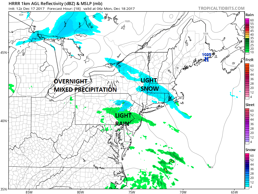
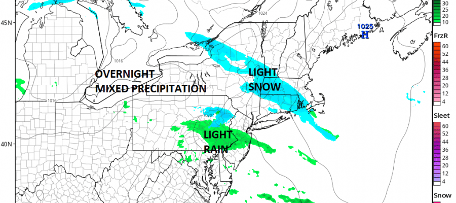
We are waking up to a few clouds this morning and a weakening weather system moving northeast into the Ohio Valley. The clouds will be with us today which will limit how warm it gets as highs should only reach the mid to upper 30s. We are transitioning over to a milder air mass to start the week. The moisture moving eastward if it survives could produce a touch of snow, rain, or mixed precipitation here overnight but nothing that amounts to much. The satellite loop shows the system lifting northeastward and while it does stand out this morning, it will be weakening as we move through the day.
SATELLITE LOOP

REGIONAL RADAR

Monday we should see some sunshine break through the clouds with highs in the 40s. Another cold front approaches on Tuesday with clouds and sun and highs reaching the 50s before it turns colder for Wednesday and Thursday though it will be dry. Highs both those days not out of the 30s. Friday the front approaches with cloudy skies and the chance for rain with highs in the 40s.
Over next weekend there are questions of what happens after the front passes and if it stalls, how cold it will be behind it for Christmas Eve & Christmas Day. Right now there appears to be the chance for precipitation on either one of both of those days though the details at this point are rather sketchy.
 GET JOE A CIGAR IF YOU LIKE

FiOS1 News Weather Forecast For Long Island
FiOS1 News Weather Forecast For New Jersey
FiOS1 News Weather Forecast For Hudson Valley


