
The Weather Forecast New York New Jersey Connecticut Eastern Pennsylvania for the next few days sees a chilly change coming. We will have one more day of temperatures in the 70s before a cold front comes through Thursday evening. That front may have a passing shower with it at most. Thursday we will see another day with sunshine most of the day and temperatures reaching the middle to upper 70s except right along the immediate shore. Records were set in a couple of places but most areas fell short of record highs and they should fall just short again on Thursday.

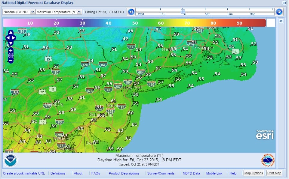
Friday we see cooler air coming in as high pressure builds in from the north. Temperatures will be 15 to 20 degrees cooler in some cases and after we start the morning in the 40s, we will see temperatures not get out of the 50s in most places. The same will hold for Saturday with morning lows in the 30s to lower 40s and highs again not out of the 50s in most areas.

Sunday we see another cold front coming through and there could be a few showers Saturday night into early Sunday morning and then some sunshine Sunday afternoon with highs in the low 60s. Then here comes the next chilly air mass for Monday and Tuesday. Both those days temperatures once again will not be out of the 50s by day and down in the 30s to lower 40s at night.
Beyond Tuesday the pattern looks to get active. We have the view of the weather models with the European Model showing a very stormy pattern, while the gfs model shows and active pattern as well. Check out the latest posts on this for more. Also be sure to download my app and subscribe to my weather forecasts for New York New Jersey Pennsylvania and Southern New England.