
Weather Conditions Generally Improve Today Lower Humidity Starts New Week
Now that yesterday’s severe weather is all over with we are going to see generally improving weather conditions across much of the area from Eastern Pennsylvania to Southern New England. There is going to be on exception to this and that is South Jersey into Southern Pennsylvania where we have have to wait for one more push before the weather front pushes far enough south and east. Here conditions are still going to be on the humid side with sun and clouds and possible showers or a thunderstorm this afternoon. However head north of Route 76 in Pennsylvania and Route 195 in New Jersey to Southern New England it will be no worse than partly sunny today with very slowly lowering humidity. Highs today across the entire will be in the low to mid 80s.
SATELLITE

REGIONAL RADAR

There is still another wave of low pressure that has to move through in order to get into solid improvement and dry air. Clouds will be around tonight until that wave to the south moves out to the east. Rain with this wave should stay to the south across parts of Maryland and Virginia. Once the wave pushes out we should see dry air finally take hold on Monday.
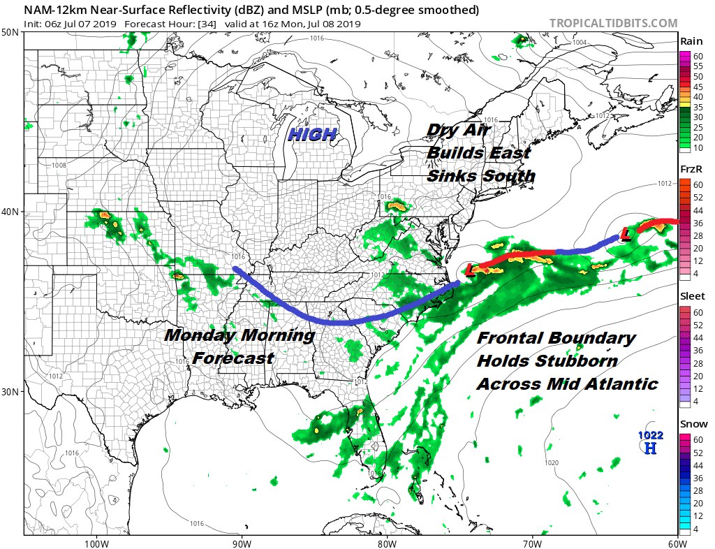
There are no important changes in the outlook for this coming week. Monday we should have no worse than partly sunny skies with reasonable humidity and highs in the low to mid 80s. Tuesday will be about the same before the high moves out and the next cold front starts to approach from the Great Lakes. Wednesday will be partly sunny warmer and more humid with the chance for showers. Highs will be in the 80s to near 90.

Thursday the cold front will near with an increasing chance for showers and thunderstorms with highs in the 80s. Weather from Friday and beyond into next weekend will hinge on whether the front keeps on moving or gets hung up off the Middle Atlantic Coast. We will also be watching the southern end of the current frontal boundary dropping into the Northeastern Gulf of Mexico for the potential for tropical development in the longer term.
MANY THANKS TO TROPICAL TIDBITS FOR THE USE OF MAPS
Please note that with regards to any tropical storms or hurricanes, should a storm be threatening, please consult your local National Weather Service office or your local government officials about what action you should be taking to protect life and property.


