Warmer More Humid Air Headed East Chance Thunderstorms Wednesday
There is a bit of a change in the air for today as the dry air mass that has been with us in one form or another since late last week is pulling out and the next cold front begins to approach. Clouds are on the satellite picture this morning as warmer and more humid air push eastward. This is going to mask some of the sunshine today and times it might be overcast. Temperatures today won’t get much above the low to mid 70s.
SATELLITE

REGIONAL RADAR

There are some showers on the regional radar in parts of Pennsylvania. Much of that shower activity will likely stay to our west and north though you may see some of it show up on the local radars later today.
LOCAL RADAR NEW YORK CITY

LOCAL RADAR PHILADELPHIA


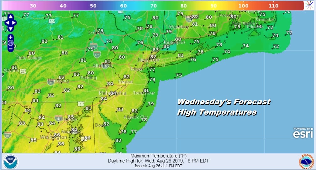
Tonight we will see clouds and temperatures won’t be going anywhere and probably holding in the 60s. This is going to set us up for the one warm and humid day this week. Wednesday we will see clouds and some sun. Temperatures will reach the 80s and then we look for a cold front that approaches late in the day and brings in the chance for a shower or thunderstorm late in the afternoon and evening. We don’t really see this as a severe weather risk type of cold front.
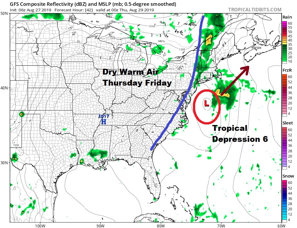
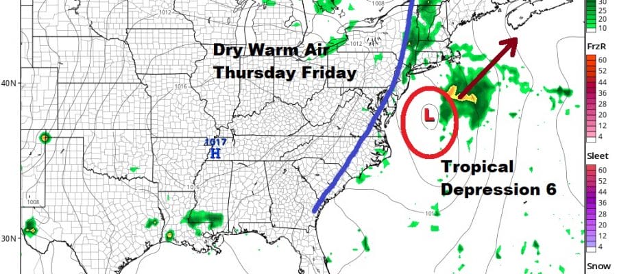
The front passes through and keeps on moving. There isn’t much to this front. It will act as the punter to kick tropical depression 6 out to the northeast with no impact here. Thursday and Friday will be warm days but with reasonable humidity. Look for sunshine for both days with highs in the low to mid 80s with nights in the 60s. The next cold front arrives Friday night into early Saturday and this front will have not much with it.

We are set up for a decent Labor Day holiday weekend with Saturday kicking it off with lots of sunshine, low humidity and temperatures in the 70s. There are questions on whether that high holds on or moves out fast and allows for a round of clouds and showers at some point for Sunday night and Monday. We will take a closer look at this later today.
MANY THANKS TO TROPICAL TIDBITS FOR THE USE OF MAPS
Please note that with regards to any tropical storms or hurricanes, should a storm be threatening, please consult your local National Weather Service office or your local government officials about what action you should be taking to protect life and property.


