Thunderstorms Developing Hot Humid Wednesday Thursday
Thunderstorms Developing Hot Humid Wednesday Thursday
We are beginning to see downpours and thunderstorms developing thanks to the upper trough to the west swinging eastward and a nice dose of daytime heating thanks to morning sunshine. You can see the spinning rotation on the satellite loop as those thunderstorms begin to fire up. The last spokes of energy will be rotating around into the first part of tonight so get ready for some more downpours or thunderstorms.
EASTERN SATELLITE
REGIONAL RADAR
The rotation of the upper low is clearly evident on the regional radar loop. On the local radars bands of downpours and thunderstorms are revving up and they should reach peak strength this evening. Don’t be surprised if some of these thunderstorms produce heavy rains and flash flooding again since the ground is utterly saturated in many areas.
LOCAL RADAR NEW YORK CITY
LOCAL RADAR PHILADELPHIA

The good news is that this is the last of it and the next 2 days brings sunshine hot and humid conditions but with no downpours or thunderstorms. We could see a few pop ups late Thursday inland but most of the area should be free of any rain until Friday. Highs Wednesday and Thursday will be in the upper 80s and lower 90s.
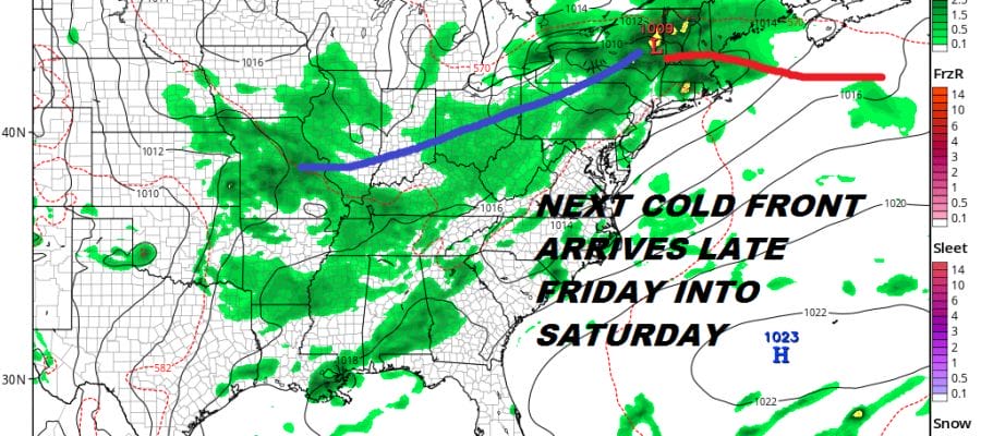
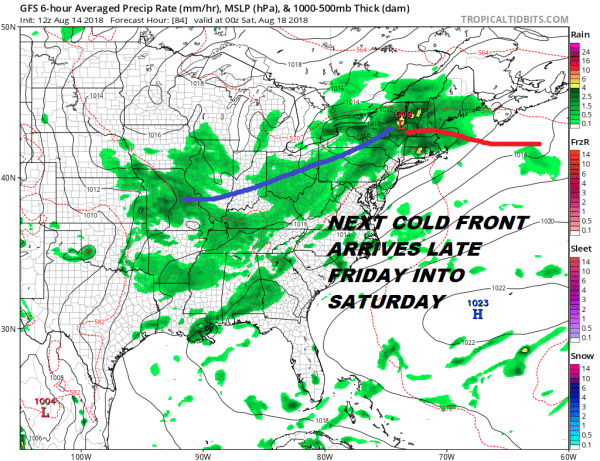
GFS FORECAST FRIDAY AUGUST 17, 2018
Sadly the next cold front begins to approach on Friday which will be another very warm and humid day with showers and thunderstorms late in the day and at night. This front is going to be very slow moving and while it will manage to make its way through on Saturday it looks to stall out. This complicates the weekend forecast again with an onshore flow developing and the chance for showers and thunderstorms on Saturday and the chance for some downpours on Sunday. We will work out the details in the coming days.
MANY THANKS TO TROPICAL TIDBITS FOR THE USE OF MAPS
Please note that with regards to any tropical storms or hurricanes, should a storm be threatening, please consult your local National Weather Service office or your local government officials about what action you should be taking to protect life and property.
LATEST JOESTRADAMUS ON THE LONG RANGE


