This has been the way things have been working for months. Another cold front is approaching and it will probably
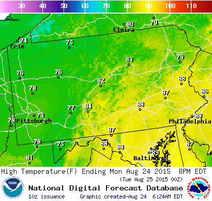

This has been the way things have been working for months. Another cold front is approaching and it will probably
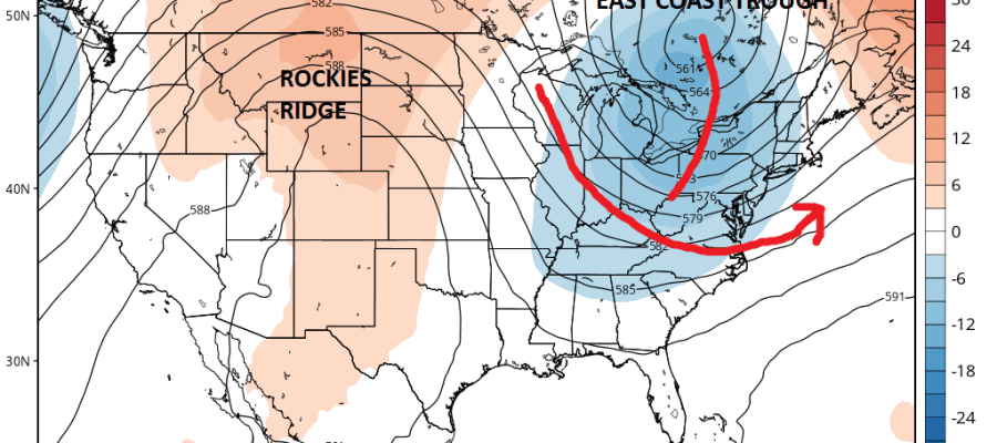
Joestradamus is looking at model guidance that continues to flip flop in all sorts of directions and run to run
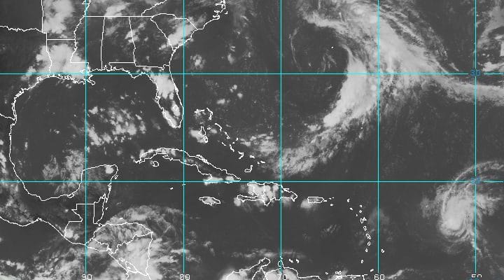
SUMMARY OF 500 PM AST…2100 UTC…INFORMATION ———————————————- LOCATION…15.8N 53.3W ABOUT 570 MI…915 KM E OF THE LEEWARD ISLANDS MAXIMUM SUSTAINED
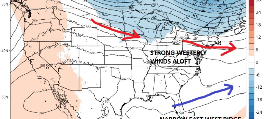
We continue to watch the upper low off the east coast as low pressure develops. The National Hurricane Center
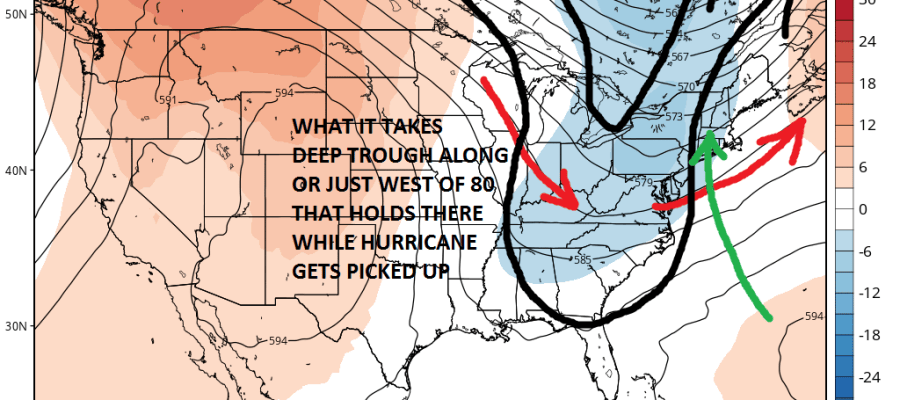
Hurricane Danny is the first hurricane of the Atlantic season and of course right on schedule we have already seen
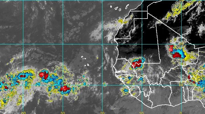
LOCATION…11.2N 41.1W ABOUT 1385 MI…2235 KM E OF THE LESSER ANTILLES MAXIMUM SUSTAINED WINDS…50 MPH…85 KM/H PRESENT MOVEMENT…W OR