Summery Warm More Humid Weekend Some Shower Chances
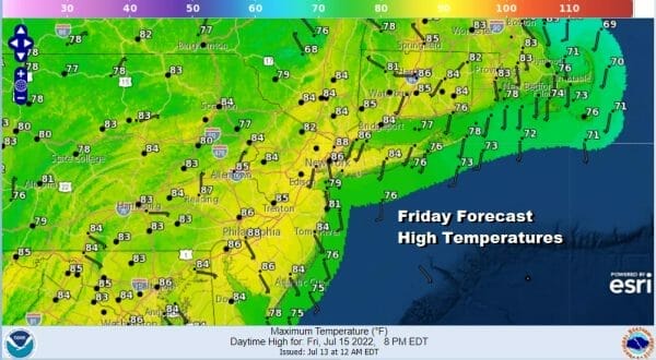
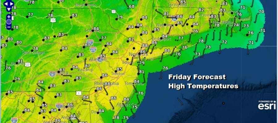
We are at the doorstep of the weekend which will turn more humid over time. For today however we are getting a bit of a humidity break. On the satellite loop clouds to the south represent the leading edge of tropical air that sits over the Carolinas with showers and thundertorms. However that is all being kept away to our south. This leaves us with a sunny Friday. Most highs will be in the low to mid 80s so that breaks any 90 degree high streak. Dew points will be in the 50s making it reasonably comfortable.
SATELLITE

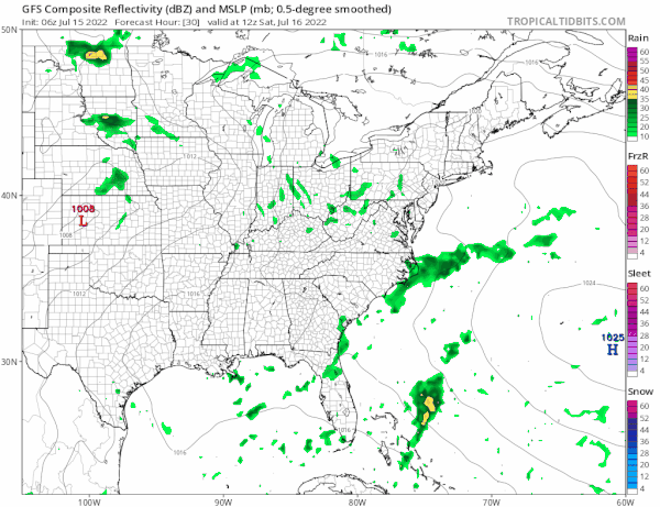
WEATHER RADAR

The dry air should hold into Saturday morning but dew points will start to rise Saturday. After a night of clear skies, lows by Saturday morning will be near 70 in the warmer urban locations but 60s elsewhere and cool spots well inland north and west of the coast. Saturday we will have a south wind, sunshine and some clouds with highs into the 80s.

Later Saturday afternoon and evening as a warm front approaches and goes by, there could be some showers and thunderstorms. The best chances for this will be from NYC south but we will put the risk in for all of Eastern Pennsylvania to Southern New England just in case. Those storms will complete the transition to a very warm and humid air mass for Sunday.
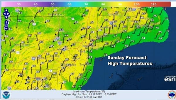
Sunday will be a very warm and humid day with sunshine but we will throw in the chance for a scattered shower or thunderstorm. Highs Sunday will be in the mid to upper 80s. Temperatures will be cooler at the shore with loca sea breezes.
Monday we will see very warm to hot and humid conditions with highs reaching the mid 80s to around 90 degrees. There is a cold front that will approach as low pressure goes by to our north. There will be the chance for some showers and thunderstorms later in the day into Monday evening. Next week will be a very warm to hot week with humidity levels mostly on the high side. The flow of cooler drier air from Canada will relax for while and that leaves us in typical July weather. We could see highs reach into the 90s for a few days during the middle of next week. A stronger cold front front could bring some storms on Thursday and then perhaps a bit of a break from the humidity after it passes.
BE SURE TO DOWNLOAD THE FREE METEOROLOGIST JOE CIOFFI WEATHER APP &
ANGRY BEN’S FREE WEATHER APP “THE ANGRY WEATHERMAN!
MANY THANKS TO TROPICAL TIDBITS & F5 WEATHER FOR THE USE OF MAPS
Please note that with regards to any severe weather, tropical storms, or hurricanes, should a storm be threatening, please consult your local National Weather Service office or your local government officials about what action you should be taking to protect life and property.


