
Storm Exits One Day Break Next System Arrives Tuesday

Weather in 5/Joe & Joe Weather Show Latest Podcast
Storm Exits One Day Break Next System Arrives Tuesday
This storm certainly left its share of surprises across the area in both directions but mostly on the upside. Every winter there is a jackpot zone and it seems Northern New Jersey and areas around NYC are in the zone this winter, at least if you look at the last two storms. A large December storm was followed by a 6 week drought. Now here we are 1 week into February and snowfall has now surpassed the averages for a winter season in most places. Snow lovers let the heavens rejoice and the earth be glad! For those of you who live in the jackpot zone, beware! Patterns tend to repeat.
SATELLITE

Unlike the big one that began a week ago, this one has no stalled out upper low to slow it down to a crawl so we are done. The radars show the heavy snow bands now over Eastern New England and headed out as the storm makes its way toward Nova Scotia.
F5 WEATHER RADARS


Let us move ahead to Tuesday when the next weather system comes our way from the Ohio Valley. This system is a weak one in theory and should remain so in theory. A weak low will move east and then reform off the New Jersey coast during Tuesday.
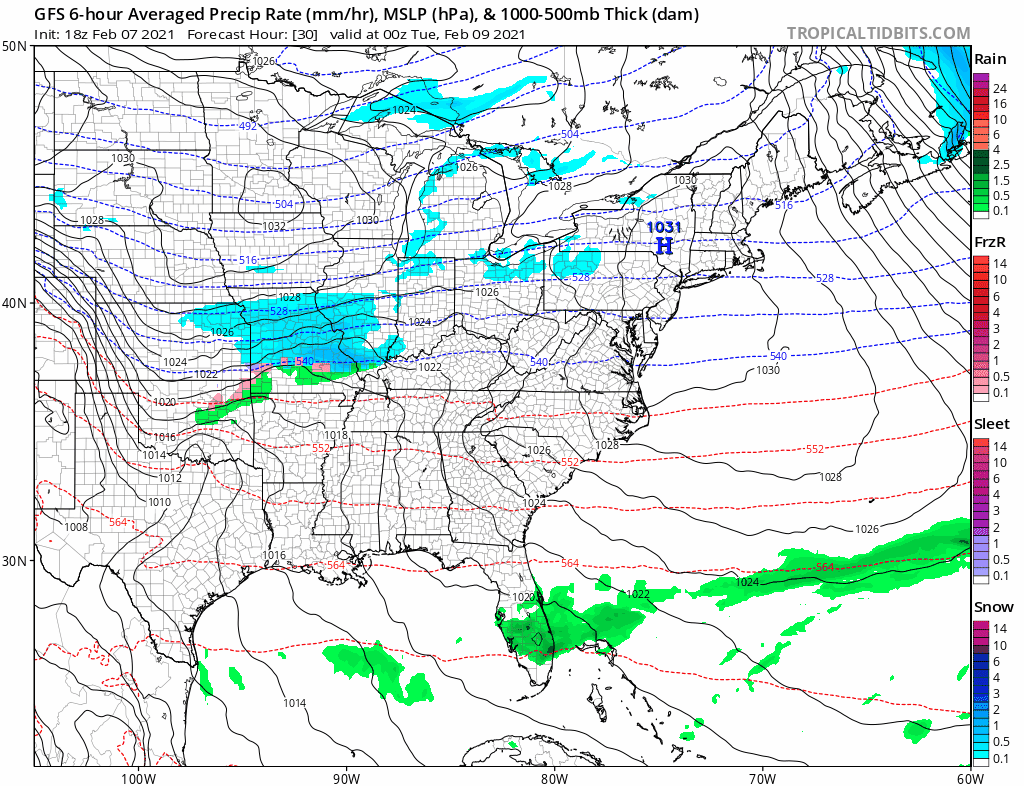
There will be an area of snow with this as it heads east and normally I would say there is the chance for a period of snow (or in some cases rain) during the day Tuesday and it would not amount to much. Chances are this will be the case. However there is enough moisture here to produce a coating to a couple of inches for somebody from Eastern Pennsylvania to Southern New England. Best chances would be from Route 78 northward in New Jersey and Eastern Pennsylvania. There might be just rain showers south of there. Highs will be mostly in the 30s. (Be advised that these are the sorts of systems that could sometimes produce localized surprised higher than forecast!)
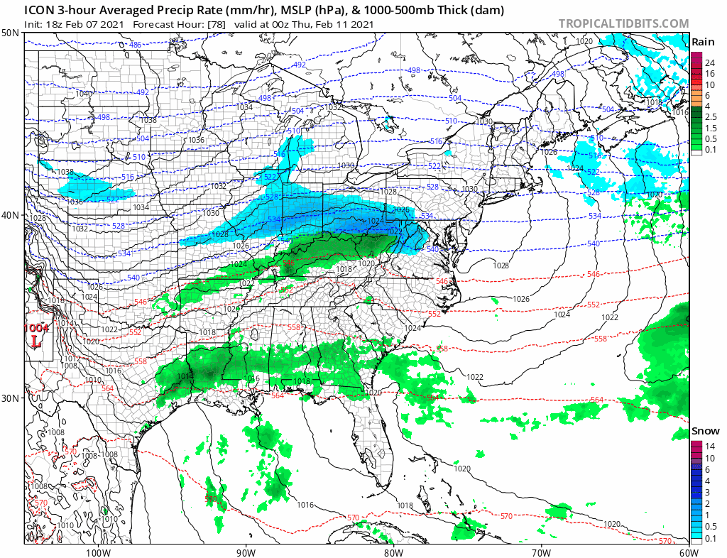
Wednesday we breath again with some sunshine. Highs will be in the low to mid 30s. Bitter cold air is spreading out from Canada and part of that will push east. We will be on the edge of the cold air. For snow lovers that is the place to be. When you are close to the boundary you are close to the action. A stalled frontal boundary across the Deep South will yield a couple of waves and they might push some of that overrunning moisture our way Thursday and Friday. There will be some snow and ice out of this for somebody in the Mid Atlantic to Southern New England. There is still much that is unclear about this system so we will need to work that out in the coming days. More action may be in the cards over the weekend and early next week.
BE SURE TO DOWNLOAD THE FREE METEOROLOGIST JOE CIOFFI WEATHER APP &
ANGRY BEN’S FREE WEATHER APP “THE ANGRY WEATHERMAN!
MANY THANKS TO TROPICAL TIDBITS & F5 WEATHER FOR THE USE OF MAPS
Please note that with regards to any severe weather, tropical storms, or hurricanes, should a storm be threatening, please consult your local National Weather Service office or your local government officials about what action you should be taking to protect life and property.


