Sprinkle Flurries Breaks of Sunshine No Storms Through The Weekend
It’s a sprinkles and flurries kind of day today as we have the first of two weak cold fronts moving through. This front doesn’t have much with it since it comes on the heels of the major storm of Sunday and Monday. There really isn’t much around for these next two weather systems to work with. We see clouds this morning on the satellite picture below but there are some thin spots in there as well as some sprinkles and flurries running around. Don’t expect much of anything other than clouds today with that occasional brightening or a break of two of sun. Temperatures held up somewhat last night so we should see highs head into the 40s in most places.
SATELLITE
REGIONAL RADAR
Radars are relatively quiet though tou can see a few patches of precipitation. Most of it is either aloft or if it is reaching the ground it is very light and not cause any major issue. This is going to be the story today on the radar; light scattered precipitation and not much else and certainly no organized area of rain or snow.
LOCAL RADAR NEW YORK CITY
LOCAL RADAR PHILADELPHIA

The cold front will move offshore tonight. Low pressure develops out in the ocean and we get a shot of colder air. Skies should clear overnight but there still could be the chance for sprinkles or flurries scattered around until midnight or so. Thursday looks like a nice reasonable seasonable day with mostly sunny skies and temperatures topping in the upper 30s to lower 40s.
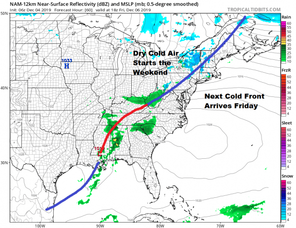
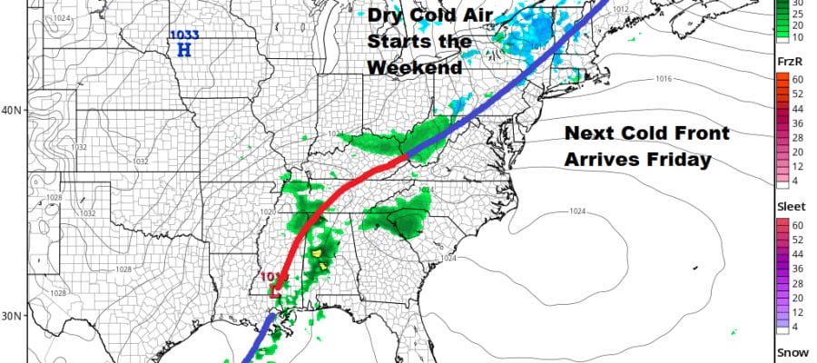
 .The next cold front arrives Friday with nothing more than a shower or snow shower when it goes by. Clouds will run ahead of it and highs will reach into the mid and upper 40s before the front passes. Then behind it Saturday will be a quick shot of cold air and probably the coldest day of this week with sunshine but highs will be just in the low to mid 30s.
This next high goes out to our south which means the next round of warming will be significant and melt whatever snow cover is around. Sunday begins the trend higher with sunshine and some high clouds with highs in the mid to upper 40s.
Next week brings a stronger cold front as a storm comes out of the Plains and strengthens as it heads to the Eastern Great Lakes. It looks as if we will be getting into clouds and some showers Monday and Tuesday but it will be rather warm with highs in the 50s both days. This system looks like it could be a sizable rain producer for Upstate NY, Western Pennsylvania and Ohio with heavier snows confined to the areas around the Great Lakes. A shot of cold air from Canada follows for the second half of next week.
BE SURE TO DOWNLOAD THE FREE METEOROLOGIST JOE CIOFFI WEATHER APP &
ANGRY BEN’S FREE WEATHER APP “THE ANGRY WEATHERMAN!
MANY THANKS TO TROPICAL TIDBITS FOR THE USE OF MAPS
Please note that with regards to any severe weather, tropical storms, or hurricanes, should a storm be threatening, please consult your local National Weather Service office or your local government officials about what action you should be taking to protect life and property.


