Snow Showers Overnight Cold Air Midweek
SHOP THE JOESTRADAMUS STORE
Snow Showers Overnight Cold Air Midweek
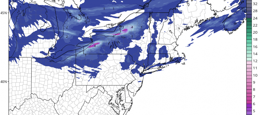
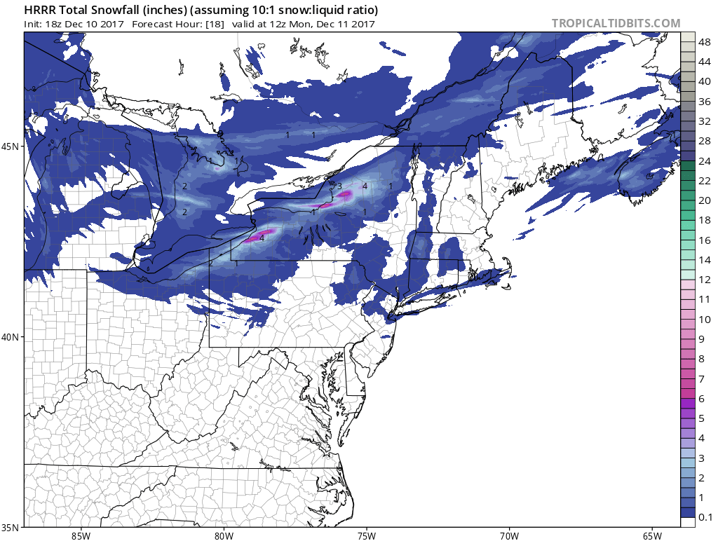
Yesterday’s frontal wave that brought our area the first accumulating snow of the season is well offshore however we do have an upper trough that is rotating through tonight and we will see some snow showers with that during the early morning hours on Monday. The HRRR model has picked up on this and it looks like some areas might see the ground whitened up overnight.
SNOW SHOWERS HRRR MODEL SNOW FORECAST THROUGH 7AM MONDAY
Once this system passes through any clouds will give way to some sunshine on Monday which will likely be a repeat performance of today with highs in the upper 30s to some lower 40s.
SATELLITE LOOP

REGIONAL RADAR

Regional radar shows the lake effect snow machine working tonight in upstate NY and in Western Pennsylvania. These snows will be winding down as we move through the day Monday and then the next system approaches on Tuesday which marks the leading edge of very cold air.
LOCAL RADAR NEW YORK CITY

LOCAL RADAR PHILADELPHIA


The low is going to go by to our north which means we will briefly warm up Monday night into Tuesday and a few snow or even rain showers are possible as temperatures rise up into the 40s Tuesday briefly. Then as the cold front passes very cold air follows and by Wednesday morning temperatures will be down in the teens to lower 20s.
WEDNESDAY MORNING FORECAST LOWS
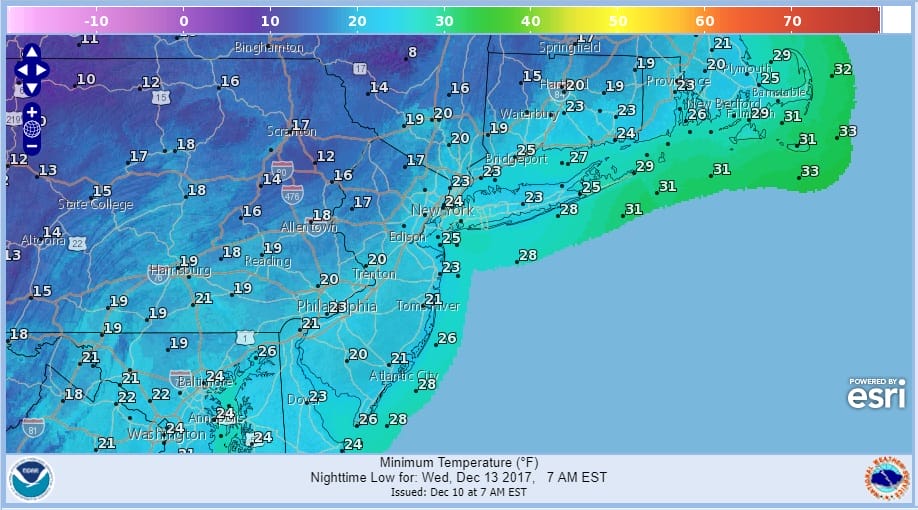
Wednesday will be very cold in spite of sunshine with highs probably no higher than the 20s to near 30. Then the next weather system approaches on Thursday with arriving clouds. Right now the system looks to be weak but it does offer the possibility of a period of snow later Thursday with highs back into the 30s.
 GET JOE A CIGAR IF YOU LIKE

FiOS1 News Weather Forecast For Long Island
FiOS1 News Weather Forecast For New Jersey
FiOS1 News Weather Forecast For Hudson Valley


