
Snow Forecasts National Weather Service 01042018

Snow Forecasts National Weather Service 01042018
The first snow forecast maps from the National Weather Service are up and running for Thursday. This is going to be one of the toughest forecasts snow wise we have seen in a long time given the complex nature of this major Atlantic Ocean storm, where it develops and tracks and several other factors that are in play. Weather models are all over the place with this which makes confidence here very low. A major Atlantic Ocean storm will develop on Wednesday off the Florida coast and move up the coast offshore toward Nova Scotia. Not only is the track in question but the structure of the storm is in question as well. Expect this forecast to change and possibly change radically over the next 2 days until models get a firm handle on what is going to happen. Bitter cold follows this storm

GET JOE A CIGAR SO HE CAN RELAX!
NEW YORK CITY AND VICINITY SNOW

NEW JERSEY & PARTS OF NE PA

SOUTHERN AND SOUTHEAST NEW ENGLAND

NORTHERN NEW ENGLAND

WESTERN NEW ENGLAND

MIDDLE AND UPPER HUDSON VALLEY

CENTRAL NEW YORK & NE PA

WESTERN NEW YORK

CENTRAL & SOUTH CENTRAL PA

VIRGINIA & MARYLAND

DAILY NORTHEAST SNOWFALL

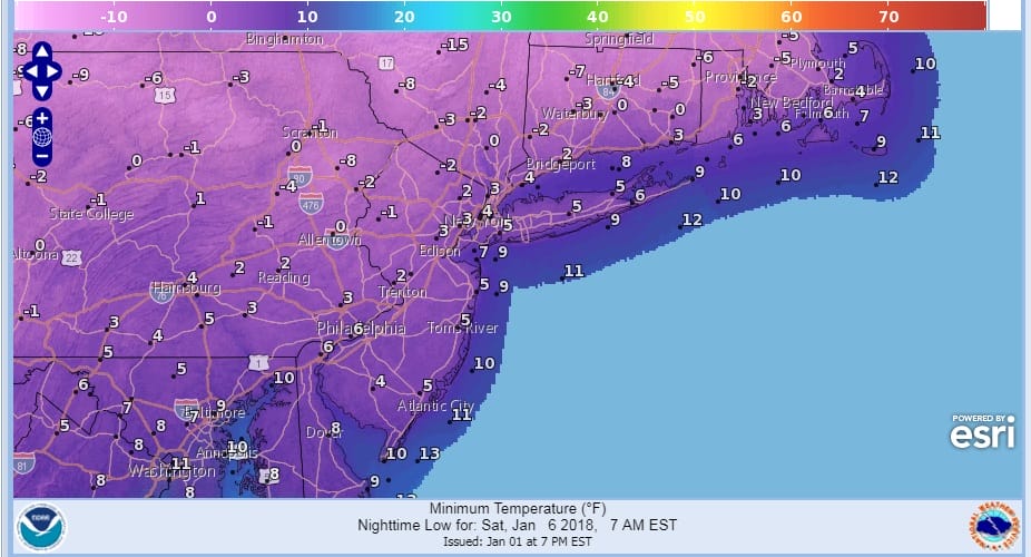
Please be advised that these are National Weather Service Forecast Maps and they auto update. Each office may update at different times and some offices are slower to update then others. Maps are usually updated before 5am and & 5pm however they may be updated at other times depending on forecast conditions. These are not my forecasts. My forecasts can be found on the JOE’S SNOWFORECAST PAGE. Individual forecasts for specific areas may also be found when conditions warrant on the my area forecasts. Those can be found on the website menu. Click on forecasts and then select your specific area.