Slow Improvement Through The Weekend Dry Chilly Weather Next Week

Weather in 5/Joe & Joe Weather Show Latest Podcast
Slow Improvement Through The Weekend Dry Chilly Weather Next Week
Our cold front has moved through and all the rain has moved out to the week. Now we are pretty much on cruise control going forward. Low pressure in Eastern Canada will be strengthening over the next couple of days keeping us in a somewhat tight pressure gradient which means it will be windy at times or at least breezy right into the middle part of next week. Clouds and breaks of sun will be with us this afternoon. Temperatures are in the 40s and they will likely stay in the 40s for the remainder of the day.
SATELLITE

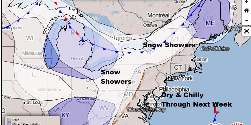
Regional radar is showing rains in Eastern New England and snow in Northern New England and upstate NY north of I-90 for the most part. The Mid Atlantic regional radar shows some areas of snow in the Central Appalachians thanks to the upper trough that is still to the west. None of that should be headed into our region.


The next several days will see a slow downtrend in temperatures. Sunday looks like no worse than mix of sun and clouds with highs in the low to mid 40s. Monday brings an upper trough through early in the day and that will allow for some clouds and maybe a snow shower passing through. Then we should go to a mix of sun and clouds with highs in the upper 30s to lower 40s. Tuesday continues the sun and clouds scheme with highs in the 30s the near 40.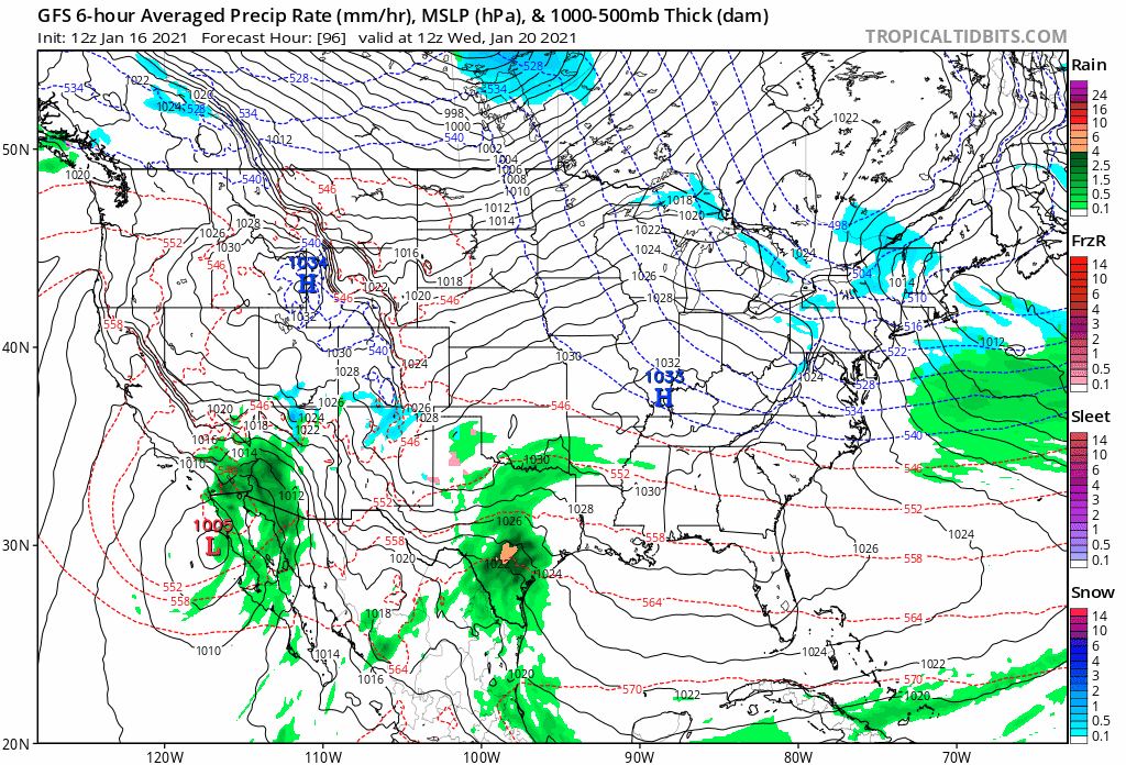
We remain in a very suppressed (or “depressed”) pattern this week thanks to the super strong Greenland/Davis Strait block in the North Atlantic so the next weather system that comes along in the southern jet stream passes well south of us late this week. This will keep us under a cold northwest flow and that low will allow for slightly colder air for the second half of the week. Wednesday will see highs in the 30s to near 40 and highs Thursday and Friday will be in the 30s. In order for weather systems to reach us we are going to need to see the block relax somewhat in the Atlantic. Weather models are hinting at a possible slight relaxation long range in the block today but we can’t be certain of that at the moment. For now it will be chilly and dry until further notice.
BE SURE TO DOWNLOAD THE FREE METEOROLOGIST JOE CIOFFI WEATHER APP &
ANGRY BEN’S FREE WEATHER APP “THE ANGRY WEATHERMAN!
MANY THANKS TO TROPICAL TIDBITS FOR THE USE OF MAPS
Please note that with regards to any severe weather, tropical storms, or hurricanes, should a storm be threatening, please consult your local National Weather Service office or your local government officials about what action you should be taking to protect life and property.


