
Showers Warm Monday, Week Ahead Brings Small Snow Chance Wednesday

Weather in 5/Joe & Joe Weather Show Latest Podcast
Showers Warm Monday, Week Ahead Brings Small Snow Chance Wednesday
We managed our way through the weekend with no real issues. Clouds are starting to roll in in from the west after what was a rather nice day overall. Most highs today were in the 40s. Some lower 50s were achieved in Southern New Jersey and Southern Pennsylvania. Now we head into nighttime with more clouds rolling in and temperatures not likely to go anywhere with lows in the upper 30s and lower 40s in most places. There isn’t much happening on the local radars this evening and for the most part other than a scattered shower that pops up in the early morning hours, the night should be uneventful.
SATELLITE

WEATHER RADAR

Let’s move on to Monday where it will be a breezy and warm day. There might be some breaks of sun and if they do materialize it wouldn’t at all surprise me to see highs reach the 60s. A cold front will head east and later in the afternoon and evening it looks as if we will have a line of showers and a heavier downpour or two move through as the front passes offshore Monday night. Rainfall amounts Monday from the front will be under a quarter of an inch.
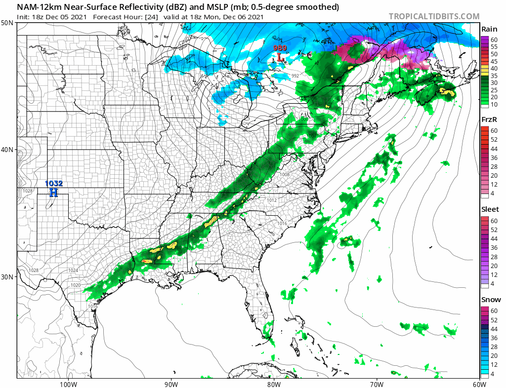
Somewhat colder air comes back in for Tuesday as high pressure builds into the Eastern US and then rebuilds into the Saint Lawrence Valley and New England Tuesday night into Wednesday. We will see sunshine on Tuesday with most highs in the 30s to around 40 degrees. Then a wave develops on the old front from Monday which stalls across the Southern Mid Atlantic. An area of precipitation will form and on the northern edge of it we will see an area of snow.
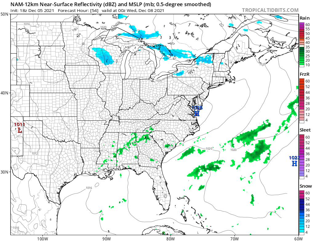
Timing from this is during the day Wednesday and then gone by Wednesday evening. There are a number of questions here. For one we have been seeing an over aggressive GFS for days bring heavy rain up the coast to Southern New England with a snowstorm across I-90 in Upstate NY and Interior New England. We never really believed that. Then it came south and remained aggressive. We didn’t quite believe that either. Even in a hostile upper air pattern you have these opportunities where the northern jet is strong enough to suppress the southeast US ridge from building. Then again if it is two strong it suppresses whatever is coming out from the south making for a weak system. This is the camp we fall into. Given what we are dealing with I would say that this is a situation where someone could see a slushy coating to maybe an inch or two inland but I would not go more than that. All of this moves out Wednesday night and weather conditions improve Thursday.
Patreon members, look for more regarding snow amounts on this system shortly.
BE SURE TO DOWNLOAD THE FREE METEOROLOGIST JOE CIOFFI WEATHER APP &
ANGRY BEN’S FREE WEATHER APP “THE ANGRY WEATHERMAN!

MANY THANKS TO TROPICAL TIDBITS & F5 WEATHER FOR THE USE OF MAPS
Please note that with regards to any severe weather, tropical storms, or hurricanes, should a storm be threatening, please consult your local National Weather Service office or your local government officials about what action you should be taking to protect life and property.


