Severe Weather Well North Northeast of NYC & NJ
Severe Weather Well North Northeast of NYC & NJ
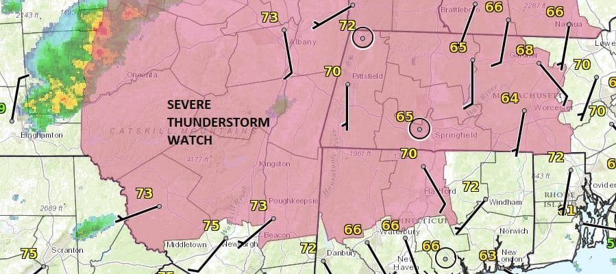
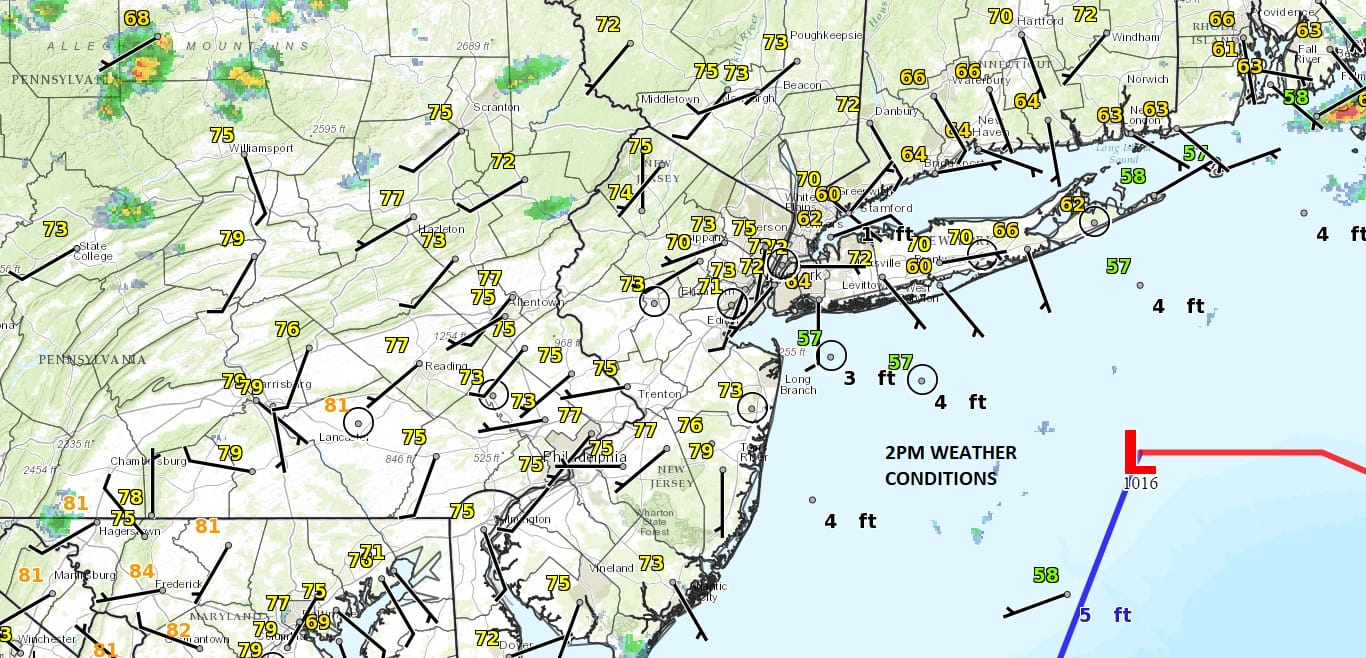
Finally we saw some sunshine break through the clouds today as the marine layer finally weakened enough to allow dry air and a west wind to take over. Temperatures immediately shot up with the sunshine into the 70s. Now we have a cold front approaching but the strongest support and the more unstable air is to the north and northeast of NYC, mainly in the Hudson Valley north of Route 84 north and east into Northwest Connecticut northward. This is where we have a severe thunderstorm watch posted.
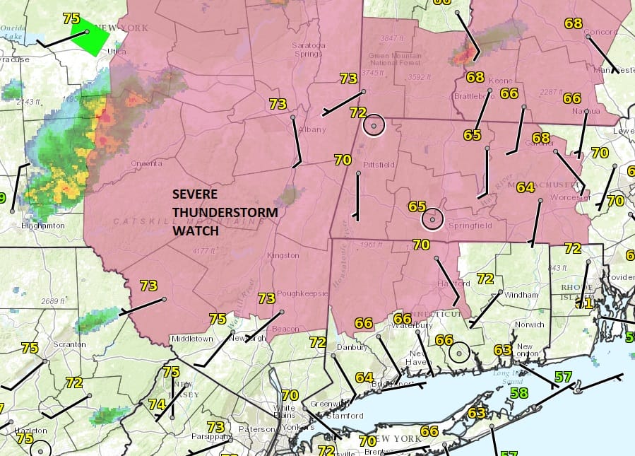
Latest satellite & radar show most of the thunderstorm development is occuring in upstate NY with just some scattered cells being indicated to the south. We will leave the threat for a shower or thunderstorm through midnight though they will be isolated in nature. Then skies should partially clear after that,
SATELLITE LOOP

REGIONAL RADAR

LOCAL RADAR NEW YORK CITY

LOCAL RADAR PHILADELPHIA


Thursday & Friday should be no worse than partly sunny with highs both days in the 70s to near 80. There may be a shower or thunderstorm Friday night as a cold front passes. Saturday looks good at this point. However low pressure approaches on Sunday and it looks like rain could develop from west to east late Sunday morning across Pennsylvania and then reaching the coast of New Jersey NYC and Long Island later Sunday afternoon and lasting into Monday.
 GET JOE A CIGAR IF YOU LIKE

LANDSCAPE COMPANIES FOR YOUR NEEDS
LONG ISLAND ROCKLAND COUNTY Connecticut

![]()

ROCKLAND COUNTY TRI STATE SNOW REMOVAL JOHNSTOWN PA


FiOS1 News Weather Forecast For Long Island
FiOS1 News Weather Forecast For New Jersey
FiOS1 News Weather Forecast For Hudson Valley
NATIONAL WEATHER SERVICE SNOW FORECASTS
LATEST JOESTRADAMUS ON THE LONG RANGE
Weather App

Don’t be without Meteorologist Joe Cioffi’s weather app. It is really a meteorologist app because you get my forecasts and my analysis and not some automated computer generated forecast based on the GFS model. This is why your app forecast changes every 6 hours. It is model driven with no human input at all. It gives you an icon, a temperature and no insight whatsoever.
It is a complete weather app to suit your forecast needs. All the weather information you need is right on your phone. Android or I-phone, use it to keep track of all the latest weather information and forecasts. This weather app is also free of advertising so you don’t have to worry about security issues with your device. An accurate forecast and no worries that your device is being compromised.
Use it in conjunction with my website and my facebook and twitter and you have complete weather coverage of all the latest weather and the long range outlook. The website has been redone and upgraded. Its easy to use and everything is archived so you can see how well Joe does or doesn’t do when it comes to forecasts and outlooks.
Just click on the google play button or the apple store button on the sidebar for my app which is on My Weather Concierge. Download the app for free. Subscribe to my forecasts on an ad free environment for just 99 cents a month.
Get my forecasts in the palm of your hand for less than the cost of a cup of Joe!


