Severe Weather Risks Next 2 Days
Cautiously Optimistic for Part of the 4th of July Holiday Weekend
Weather in 5/Joe & Joe Weather Show Latest Podcast
Severe Weather Risks Next 2 Days
Cautiously Optimistic for Part of the 4th of July Holiday Weekend
This is the third and final day of high heat and extreme humidity. We saw highs reach the mid top upper 90s yesterday. Newark New Jersey hit 102 but I think there is something amiss with their thermometer. None the less it has been hot and oppressive with dew points in the 70s and we are set up for possible thunderstorms late today into tonight.
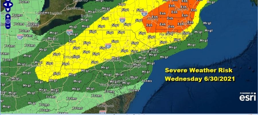
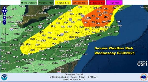
The Storm Prediction Center has an enhanced risk of severe weather over Central New England with sight risk as far south as Southern New England to the Hudson Valley, Northern New Jersey and much of Pennsylvania. Marginal risk zones lie to the east and south of the slight risk area as far south as Northern Virginia.
SATELLITE
Daytime heating is well underway and there should be strong sunshine and mostly cloud free skies into the mid afternoon. That will take highs to the mid and upper 90s in most inland areas and mid 80s to lower 90s along coastal areas. Then we will keep our eyes for thunderstorm development going into this evening. Inland areas I believe have the best chances for seeing strong to severe thunderstorms though not all areas will see storms. Just watch the sky and radars for clues this afternoon.
WEATHER RADAR
We have a slow moving cold front and an upper trough that will be in play over the next three days. It is going to take several waves of low pressure to nudge the front far enough offshore for some genuine improvement in weather conditions. Unfortunately that will take us through Saturday before things can finally get better for Sunday and Monday. Those should be the two best days of the holiday weekend.
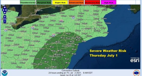
We will be under risk for severe weather again Thursday with a stalled front overhead and the first of 3 waves of low pressure that will move along it. Wave number 1 approaches late Thursday afternoon and evening and we will see thunderstorms with some heavy rain and severe weather potential. This should be more widespread verses what we see here this evening.
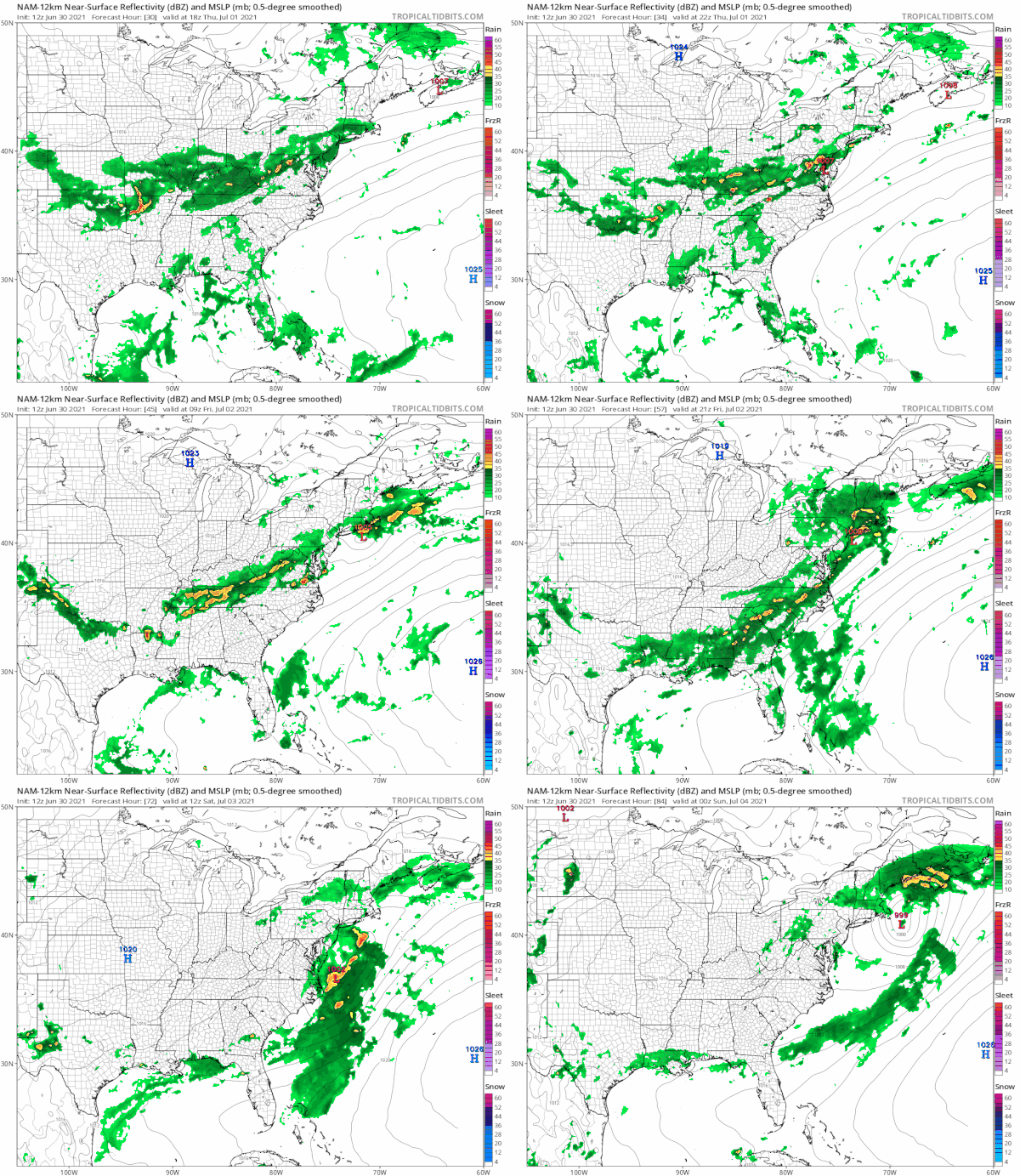
Following the NAM model along we see a burst of shower and thunderstorm activity late Thursday into Thursday night as wave 1 goes by. Temperatures Thursday will be in the 80s with high humidity. Friday temperatures will be in the 70s with winds going northeast and we could see another round of moderate to heavy rain. Saturday will be the last wave and it appears most of the rain with this will be offshore though there might be some scattered showers inland. Saturday highs will be just into the 70s. Humidity levels will start going down Friday but especially over the weekend. I think we will see sun and clouds with low humidity Sunday. Highs will be just in the 70s. Monday look for sunshine warm but still not humid. Highs will be back into the 80s. Cumulative rainfall amounts could be a range of 2 to 3 inches across the area spread over the next 3 to 4 days.
BE SURE TO DOWNLOAD THE FREE METEOROLOGIST JOE CIOFFI WEATHER APP &
ANGRY BEN’S FREE WEATHER APP “THE ANGRY WEATHERMAN!
MANY THANKS TO TROPICAL TIDBITS & F5 WEATHER FOR THE USE OF MAPS
Please note that with regards to any severe weather, tropical storms, or hurricanes, should a storm be threatening, please consult your local National Weather Service office or your local government officials about what action you should be taking to protect life and property.


