Rain Overspreads Area Today Weekend Dries Out Chilly Into Sunday
Weather in 5 Friday October 16, 2020
A cold front is nearing the coast today and it will pass and stall out to the east. 2 waves of low pressure develop on it with the first one going through today and the second one passing to the east tonight. This will give us two rounds of heavy rain to deal with. One will be during the daytime and the other will come tonight with rains lightening up some in between. The other change today will be the temperatures as they will settle in the upper 50s and lower 60s once the rain gets underway making for a rather raw damp day indeed.
SATELLITE
REGIONAL RADAR
Radar is showing the players here with the cold front just to our northwest and the showers north and west of the frontal boundary and then we have the rains that are developing in Virginia and North Carolina spreading northward. Look for the coverage to increase across the local radars.
LOCAL RADAR NEW YORK CITY
LOCAL RADAR PHILADELPHIA

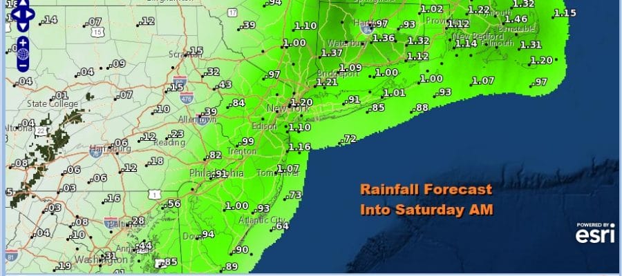
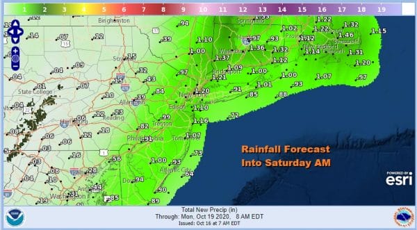
There will be a sharp cutoff in the western edge of the rain as amounts will be less from Eastern Pennsylvania westward. The highest amounts look to be along the coast as well as Southern and Southeastern New England where the rain is still desperately needed due to severe drought conditions.
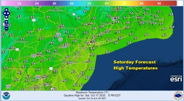
The second wave will move away to the northeast late tonight and the rains should come to an end from west to east well before daybreak. Then leftover clouds will give way to some sunshine but it will be rather chilly. Temperatures by morning will be in the cold upper 30s to mid 40s and highs Saturday will be just in the 50s.
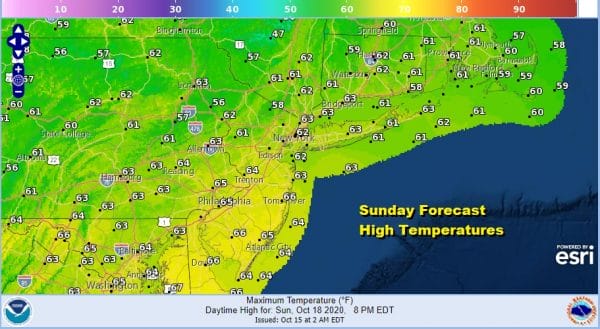
Another cold night follows into Sunday morning with lows in the 30s inland and low to mid 40s along the coast. Temperatures should bounce a little higher on Sunday with sunshine taking highs back into the 60s. Overall it should be a nice weekend.
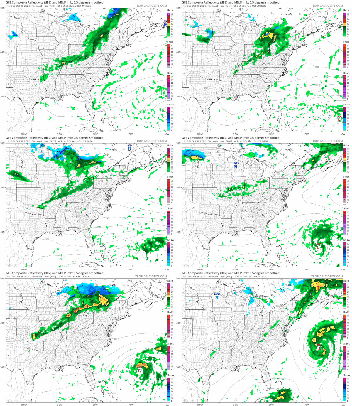
Next week we see several cold fronts approach but they don’t seem to have the strength or the upper air support to do very much here. As the first two approach they seem to weaken and fall apart before moving through.
This suggests that much of next week should be dry as the showers with the fronts make it into Western Pennsylvania and Western NY but they fall apart there and never make it to the coast. Monday we will see some sun and clouds while Tuesday we will probably have more clouds than sun. Temperatures will be in the 60s. Wednesday brings another dying front to the west so look for clouds and some sun with highs again in the 60s. Wash rinse repeat for Thursday and Friday.
You will note on the GFS loop above that we have the potential for two tropical storms developing.One will form southeast of Bermuda and head westward while the other forms in the Western Caribbean and moves northward. Both systems are woven in the long range outlook. We will be covering that on my subscription platform on Patreon.
BE SURE TO DOWNLOAD THE FREE METEOROLOGIST JOE CIOFFI WEATHER APP &
ANGRY BEN’S FREE WEATHER APP “THE ANGRY WEATHERMAN!
MANY THANKS TO TROPICAL TIDBITS FOR THE USE OF MAPS
Please note that with regards to any severe weather, tropical storms, or hurricanes, should a storm be threatening, please consult your local National Weather Service office or your local government officials about what action you should be taking to protect life and property.

