Nice Autumn Weather Continues Through Saturday
Rain Chances Sunday Night Monday
Weather in 5/Joe & Joe Weather Show Latest Podcast
Nice Autumn Weather Continues Through Saturday
Rain Chances Sunday Night Monday
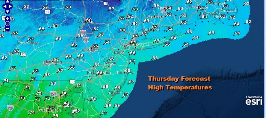
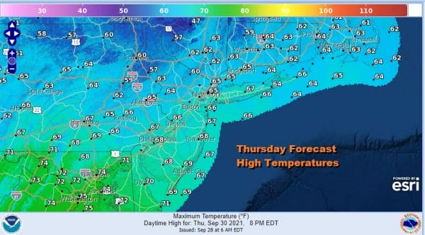
One nice thiing about blocking patterns is that if it sets up in the right spot, we can enjoy some very nice weather for days at a time and today is the second of 4 nice days. A deep trough is off the East Coast and it is not moving. It is protecting us from Hurricane Sam which will pass east of Bermuda over the weekend. It is also shielding us from rain in the Plains and Central Gulf States for the time being. The only issue today is that weak short wave troughs are moving southward in the northerly flow and that could produce some clouds in the mix for this afternoon. Other than that it will be nice with highs this afternoon in the 60s. There are no shower issues as they remain well to our north.
SATELLITE
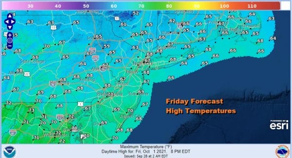
Nights remain comfortably cool and dry with skies clearing out tonight and lows will be mostly in the upper 40s to mid 50s. The same holds for Friday night into Saturday morning. Friday we will see lots of sunshine with most highs in the 60s to near 70.
Saturday will be the better of the two weekend days as high pressure settles along the Middle Atlantic coast. We will have lots of sunshine and a west wind. Highs will be in the 70s everywhere. Weather systems will start moving along again and that means that moisture to our west will start to get in here on Sunday.
Saturday will be the better of the two weekend days because we will see lots of clouds around on Sunday. That plus a south wind will hold temperatures down to the upper 60s to mid 70s for highs. However we are not going to include any rain in the forecast. That should hold off until Sunday night or on Monday as it comes in from the northwest. South of a line from Scranton PA NYC, there probably will be less in the way of rain. The weather pattern next week will be the opposite of this week. A new trough sets up to our west. The flow becomes more southerly and that opens the door for tropical moisture to move up the East Coast from time to time. Also it will create lower than normal pressures from the Bahamas to the Northwest Caribbean. That area will need to be watched for the potential of tropical development. Weather models are not showing much at the moment.
BE SURE TO DOWNLOAD THE FREE METEOROLOGIST JOE CIOFFI WEATHER APP &
ANGRY BEN’S FREE WEATHER APP “THE ANGRY WEATHERMAN!
MANY THANKS TO TROPICAL TIDBITS & F5 WEATHER FOR THE USE OF MAPS
Please note that with regards to any severe weather, tropical storms, or hurricanes, should a storm be threatening, please consult your local National Weather Service office or your local government officials about what action you should be taking to protect life and property.


