Next Storm System Heading East Late Tuesday Wednesday
Next Storm System Heading East Late Tuesday Wednesday
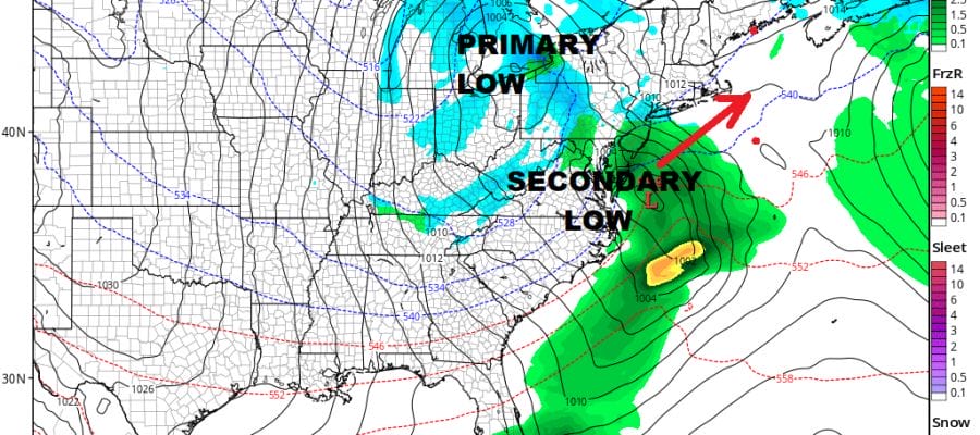
The strong blocking pattern continues across much of Eastern Canada out to Greenland. This is continuing to send energy across the United States from west to east. Much like what happened with yesterday’s major coastal storm, this next low will try to go northward only to be stopped by the block to the north. This is going to create another scenario where the primary low weakens and a secondary low redevelops.
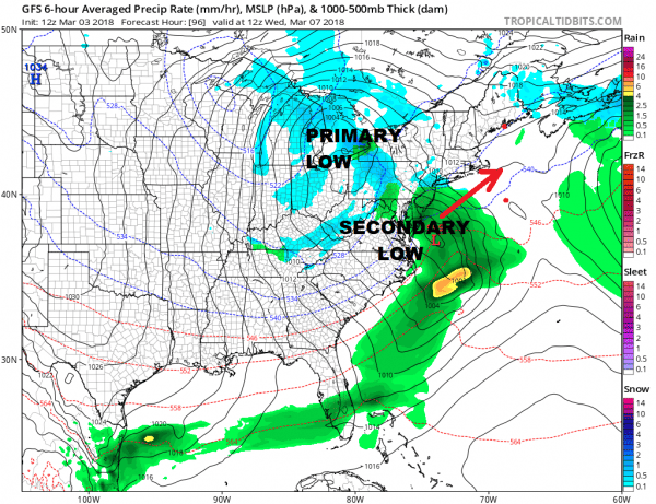
GFS WEDNESDAY MORNING MARCH 7 2018
All the weather models are lined up pretty much the same. The European & GFS offer colder solutions here and indeed this time around the atmosphere is colder all the way around (by early March standards) so it will once again become a question of whether the secondary takes over fast enough. This cuts off any warm and allows for dynamic cooling to take over. We saw what just happened with yesterday’s powerful storm how dynamic cooling (cooling from the top down) can overtake even the warmest atmosphere.
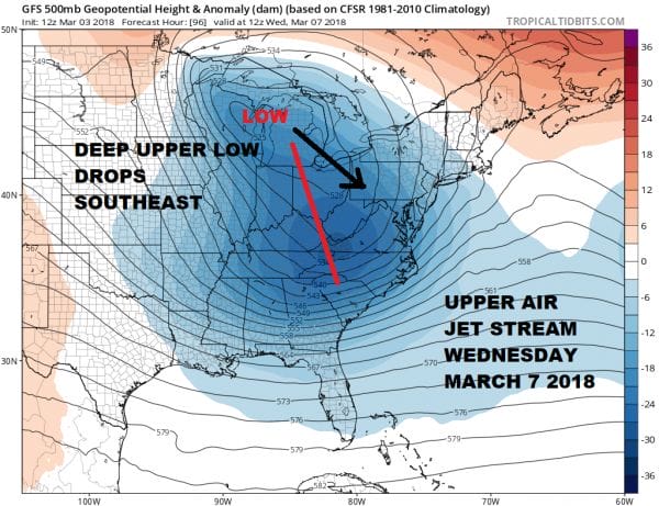
The upper air structure here is very impressive and while it may not lead to a repeat performance, the two systems may rhyme somewhat. At the moment we are not in the NAM models range yet and since its outstanding performance yesterday everyone will be waiting to see what it does (myself included). We will get the first clues on Sunday. The blocky signature will continue into mid month so don’t be too shocked if we wind up with yet another system behind this one.
SHOP THE JOESTRADAMUS STORE
MANY THANKS TO TROPICAL TIDBITS FOR THE WONDERFUL USE OF THE MAPS
GET JOE A CIGAR IF YOU LIKE!
FiOS1 News Weather Forecast For Long Island
FiOS1 News Weather Forecast For New Jersey
FiOS1 News Weather Forecast For Hudson Valley
NATIONAL WEATHER SERVICE SNOW FORECASTS
LATEST JOESTRADAMUS ON THE LONG RANGE


