Lunar Eclipse Tonight Fights Clouds Severe Weather Risk Looms Large Monday

Lunar Eclipse Tonight Fights Clouds Severe Weather Risk Looms Large Monday
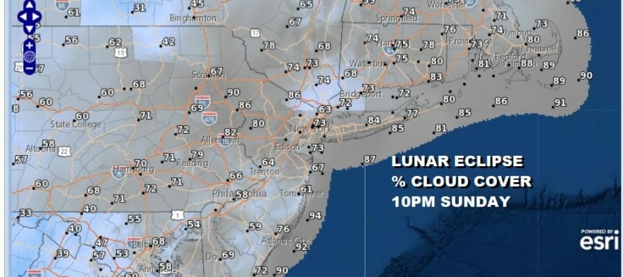
Front and center tonight is a total eclipse of the moon which will be visible if, and its a big if, we have clouds breaking up after we go through some scattered thunderstorms this evening. Not everyone will get to see those thunderstorms but the residual clouds from those storms that will be an issue. Some places could see breaks in the cloud cover but not all. You are going to need some luck here wherever you are.
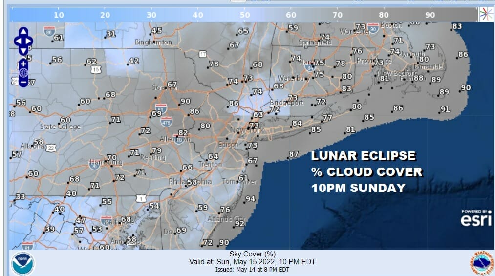
While the percent of sky cover map show shows numbers in the 70 to 80 percent range, there is the other 20 to 30% of possible open sky. The best chances for that will probably more inland than the coast. Before we get to tonight we have today where leftover clouds this morning will give way to some sunshine.
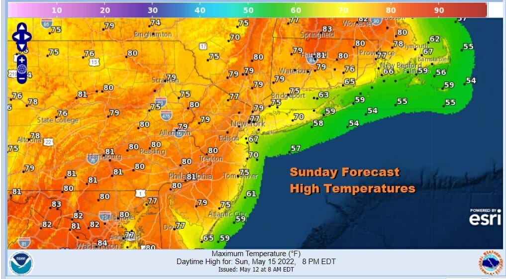
It is going to be a warm humid day as highs reach the upper 70s and lower 80s with temperatures cooler at the shore. During the late afternoon and evening we will see some scattered thunderstorms as an upper trough moves through. Again not all of you will see them. The chances are higher inland than at the coast. Then we have leftover clouds overnight with lows in the mid 50s to lower 60s.
SATELLITE

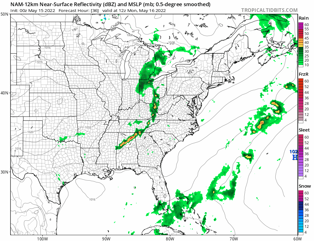
WEATHER RADAR

Now it is on to Monday where we have been focusing attention on a strong cold front coupled with a strong upper trough that will move through in the evening. We will some early clouds and then sunshine and there will be ample daytime heating. Highs will reach intot the 80s.
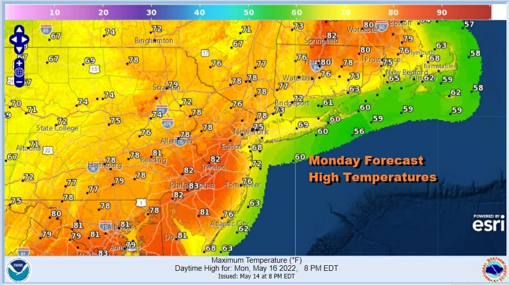
Lots of instability, high dew points and now throw in an upper trough coupled with strong winds aloft OF 50 TO 60 knots and you have the potential for severe thunderstorms. I think we could see a robust outbreak of thunderstorms if daytime heating really gets going on Monday.
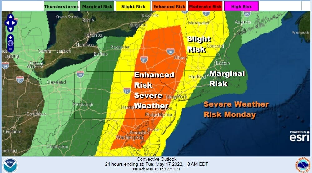
The Storm Prediction Center has a large area of slight risk (15%) extending from New England to North Carolina including all of Eastern Pennsylvania to Southern New England. It has now added an area of enhanced risk inside that area of Enhanced. That is coupled with a 2 to 5% tornado risk which for this area are not exactly small numbers.
Once the front passes it will turn cooler and drier Tuesday into Wednesday as high pressure builds in behind it. We will see some sunshine both days with highs in the into the 70s both days. Later in the week we will be transitioning slowly into a warmer more humid air mass as we head into the weekend. With a little luck the weekend could actually be rain free.
BE SURE TO DOWNLOAD THE FREE METEOROLOGIST JOE CIOFFI WEATHER APP &
ANGRY BEN’S FREE WEATHER APP “THE ANGRY WEATHERMAN!
MANY THANKS TO TROPICAL TIDBITS & F5 WEATHER FOR THE USE OF MAPS
Please note that with regards to any severe weather, tropical storms, or hurricanes, should a storm be threatening, please consult your local National Weather Service office or your local government officials about what action you should be taking to protect life and property.


