
Improving Weather Conditions Benign Weather Week Ahead of Christmas

Weather in 5/Joe & Joe Weather Show Latest Podcast
Improving Weather Conditions Benign Weather Week Ahead of Christmas
It has taken a little while for it to get going but we are finally seeing drier air coming in from the northwest and the cloud deck thinning out. So we will continue with decreasing clouds for the rest of the afternoon. Temperatures didn’t really go far today as we reached into the 40s. Some of that was leftover from last night but we do have a cold night ahead of clear skies. Lows will be in the 20s with the warmest urban locations close to 30.
SATELLITE

WEATHER RADAR

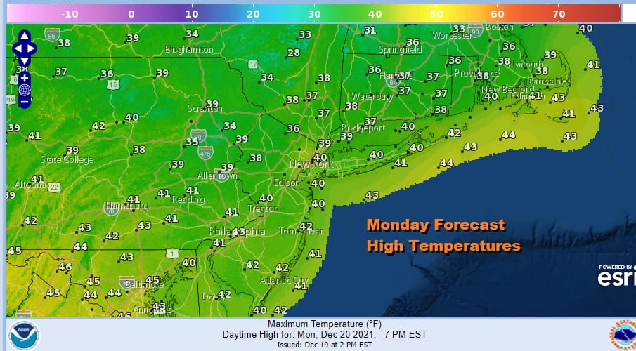
There is leftover precipitation on the radar this evening but that should disappear before too long. We probably won’t see much this week of either rain or snow showers as the pattern looks relatively benign. Starting with Tuesday we will see some sunshine. After morning of temperatures in the 20s to lower 30s, highs Tuesday will be in the upper 30s and lower 40s.

The rest of the week doesn’t look like much of a problem. Firstly look at the low in Florida that moves northeast Wednesday. This was supposed to phase with a system in Eastern Canada and bring down a solid shot of cold ir for the end of this week. That is no longer happening so the colder air isn’t happening either. Wednesday & Thursday we will have clouds and sun with highs in the 40s. Then it turns a little colder Friday Christmas Eve with sunshine for part of the day. Highs will be in the upper 30s and lower 40s. If you are travelling this week the good news is that we don’t have any big storms in the Eastern US making travel relatively easy.

Frankly I thought his system was a day fast and would occur Saturday night or Sunday morning but the GFS seems to want to race a warm front eastward Friday night. It increases the chance that New England and upstate NY see a white Christmas but no one else. Eventually a cold front follows late Sunday with a quick shot of colder air Sunday afternoon into Monday and maybe even the odd cheap thrill of a snow shower. Otherwise the weekend looks uneventful overall and manageable. Long lasting cold and snow remains utterly elusive and there is no sign of it coming back in the long range..
BE SURE TO DOWNLOAD THE FREE METEOROLOGIST JOE CIOFFI WEATHER APP &
ANGRY BEN’S FREE WEATHER APP “THE ANGRY WEATHERMAN!

MANY THANKS TO TROPICAL TIDBITS & F5 WEATHER FOR THE USE OF MAPS
Please note that with regards to any severe weather, tropical storms, or hurricanes, should a storm be threatening, please consult your local National Weather Service office or your local government officials about what action you should be taking to protect life and property.


