
No changes at all to the forecasts for the holiday weekend weather outlook. Day 2 is going to be another winner with lots of sunshine and nothing more than a few passing clouds. The shore will be coolest as we still will have a bit of an ocean wind. Highs today will be in the upper 70s at the beaches and 80 to 85 most everywhere else. You can check your latest beach conditions on the marine forecast page.
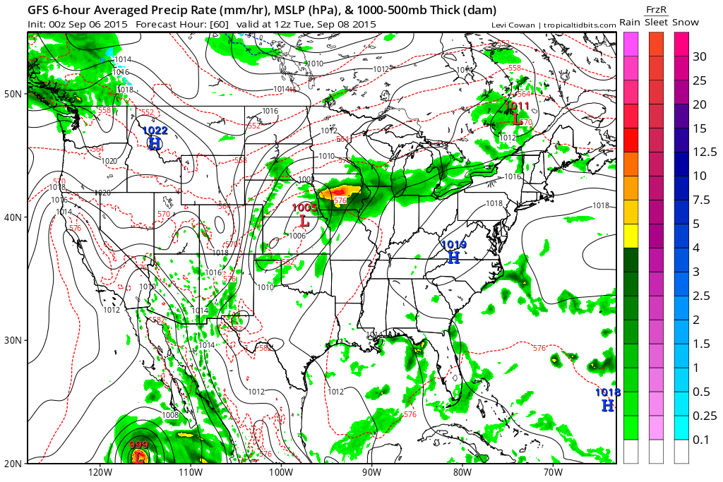
Monday begins the transition into hot and more humid weather which will carry us into Thursday this week. High pressure shifts southward and we being a west southwest flow. High pressure aloft remains strong and it will not be dislodgede until late this week as a cold front finally approaches and makes its way through. There is no rain in the forecast at all until later Thursday at the earliest.
Temperatures Monday through Thursday will be much above normal and for many it will string 4 days of 90 plus weather. The front may be slow enough to produce some much needed rain late this week but I would caution that we are in a drought pattern here and that means that weather systems will continue to underperform with respect to what models are showing us with regards to rainfall. Meanwhile we have a new tropical storm in the Atlantic. Tropical Storm Grace is way out in the eastern Atlantic and conditions are favorable for strengthening at the moment but Grace may wind up meeting the same fate as Erika and Danny as conditions across the Atlantic remain hostile for tropical storm development. You can check the latest on Tropical Storm Grace on our tropical weather page. Enjoy the rest of your holiday weekend weather before we had back to work and school on Tuesday.


