
Heavy Rains Possible Sunday
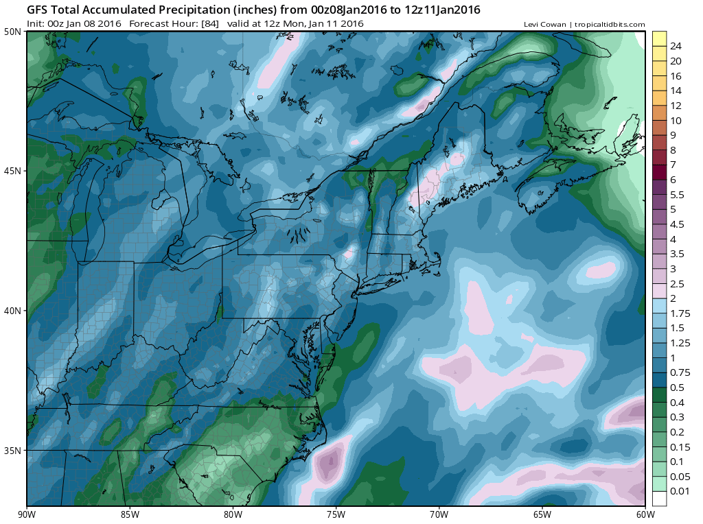
Heavy rains are possible late Saturday night into Sunday afternoon. Latest models are all very bullish on the possibility of an inch to an inch an a half of rain all across the region. Models remain very consistent with this idea. The surface low responsible for this looks to track a little further east then earlier indicated by the models. This should put the area in the heart of the heaviest rainfall.
s
With regards to the forecast for Friday, satellite pictures show clouds with a lead weaker system approaching from the southwest. We will also see an increasingly chilly onshore flow develop Friday which will being in clouds from the northeast as well. We should start the day with sunshine but gradually the sun will fade behind arriving clouds. Friday night into Saturday morning we will see some cold air drain down from New England which will make for a chilly Friday night and early Saturday. No precipitation is expected however there is the possibilty of some drizzle and if that occurs, inland regions should watch their thermometers in case they briefly touch the freezing mark Saturday morning.


You can see the midwest radar above getting a little busy with some rain but most of that is moving northwad and not eastward at this time. The main system will be coming out of Texas later Saturday and is unrelated to this lead area of rain. The heaviest rain arrives after midnight Saturday night and continues into Sunday afternoon before ending. Winds will turn to the south and while temperatures Saturday during the day will hold in the 40s, temperatures will begin to rise Saturday night and they should be in the 50s Sunday morning. Heavy rains Sunday morning could total up to 1.50 inches.

Once the front passes colder air returns for Monday and Tuesday and it will be back in the 30s by day and the 20s at night. An approaching arctic front and a possible developing wave on the front could set the stage for a period of snow later Tuesday and Tuesday night. My latest JOESTRADAMUS post discusses that possibility in detail. Behind that arctic front it will turn very cold with highs probably in the 20s Wednesday through Friday of next week and nights again in the teens and single digits.
Here is the latest GFS video analysis on the possibility of some snow on Tuesday.
NATIONAL WEATHER SERVICE SNOW FORECASTS
LATEST JOESTRADAMUS ON THE LONG RANGE
Weather App

Winter is here! Don’t be without Meteorologist Joe Cioffi’s weather app. It is a complete weather app to suit your forecast needs. All the weather information you need is right on your phone. Android or I-phone, use it to keep track of all the latest weather information and forecasts. This weather app is also free of advertising so you don’t have to worry about security issues with your device. An accurate forecast and no worries that your device is being compromised.
Use it in conjunction with my website and my facebook and twitterand you have complete weather coverage of all the latest weather and the long range outlook. The website has been redone and upgraded. Its easy to use and everything is archived so you can see how well Joe does or doesn’t do when it comes to forecasts and outlooks.
Just click on the google play button or the apple store button on the sidebar for my app which is onMy Weather Concierge. Download the app for free. Subscribe to my forecasts on an ad free environment for just 99 cents a month.
Get my forecasts in the palm of your hand for less than the cost of a cup of Joe!


