Colder Air Mostly Dry First Week of November Minor Risks Tuesday Thursday

Weather in 5/Joe & Joe Weather Show Latest Podcast
Colder Air Mostly Dry First Week of November Minor Risks Tuesday Thursday
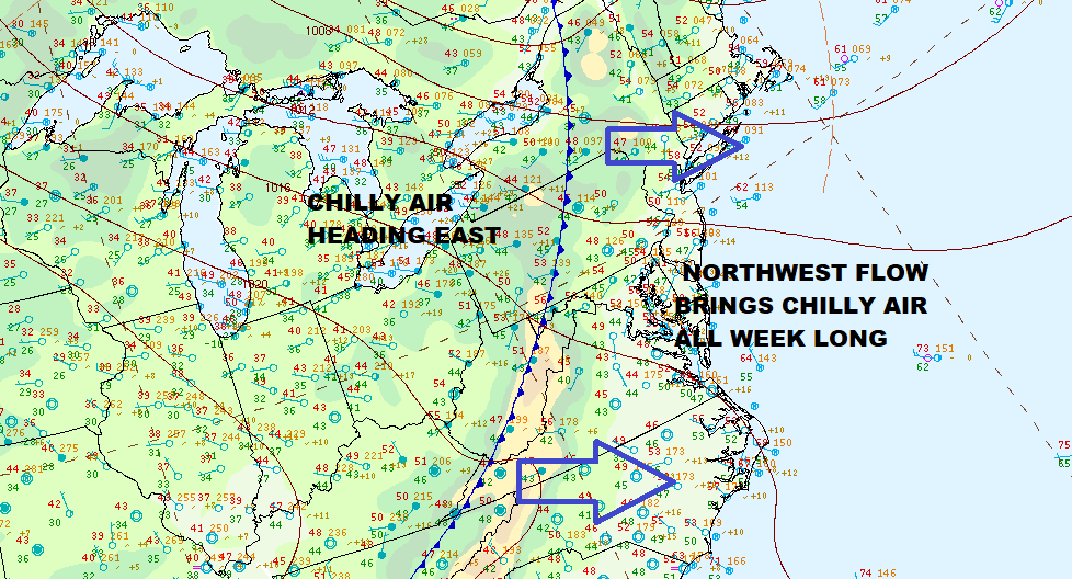
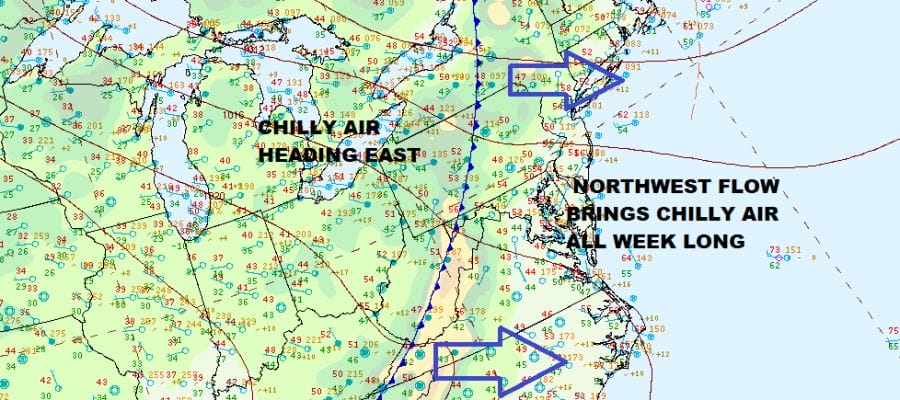
The new week and the new month begin with a colder pattern taking hold across the Northeast and Middle Atlantic states. The blocking pattern of last week is gone and weather systems are not only moving along, but we have established a northwest flow from Canada that is going to hold on and strengthen as we move through the week. Even though temperatures this morning are starting out in the upper 40s and lower 50s, a cold front is moving through which is bringing in chilly air from Central Canada and the Great Lakes.

This leaves us in a situation today where we will have sunshine but we will also have breezy conditions developing and temperatures won’t being making much upward progress. Most highs will be in the upper 50s to around or just over the 60 degree mark. The satellite is showing a few clouds marking the cold front moving through but the radars are mostly quiet. Some scattered showers are showing up north in NY State and a few others are in Western Pennsylvania. Other than that, we see no rain or shower issues today.
SATELLITE

WEATHER RADAR

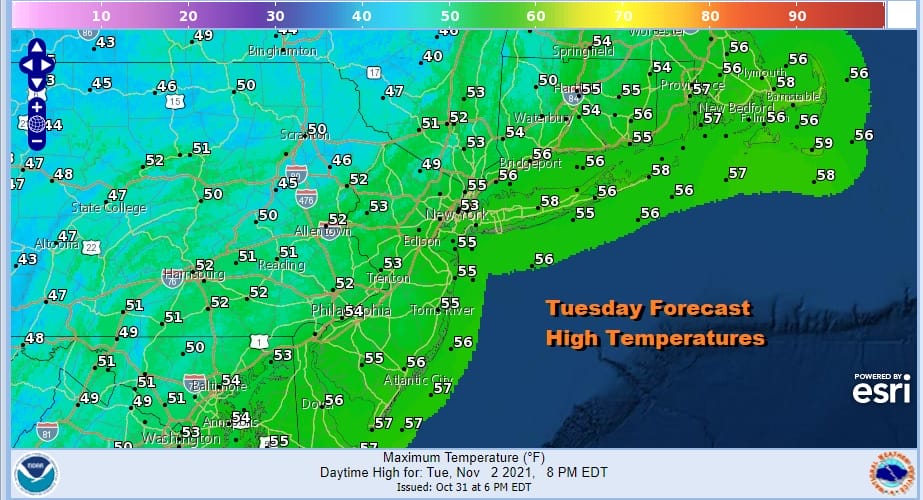
Skies will start clear tonight but they will cloud up as another cold front begins its approach in the northwest flow. Most lows Tuesday morning will be in the mid 30s to lower 40s. Tuesday will likely see clouds around with limited sun. That will hold temperatures down. I will throw in the outside chance of a passing shower but the chances are rather low. Highs will be just in the low to mid 50s.
There are no changes in the outlook for Wednesday through Friday. It will be chilly by day cold by night. We could see some inland areas drop down to freezing Wednesday morning and highs Wednesday in spite of sunshine will be in the upper 40s and lower 50s. Then it will turn even colder Wednesday night and we could have a more widespread freeze or frost. This should be away from warmer urban centers and coastal areas.
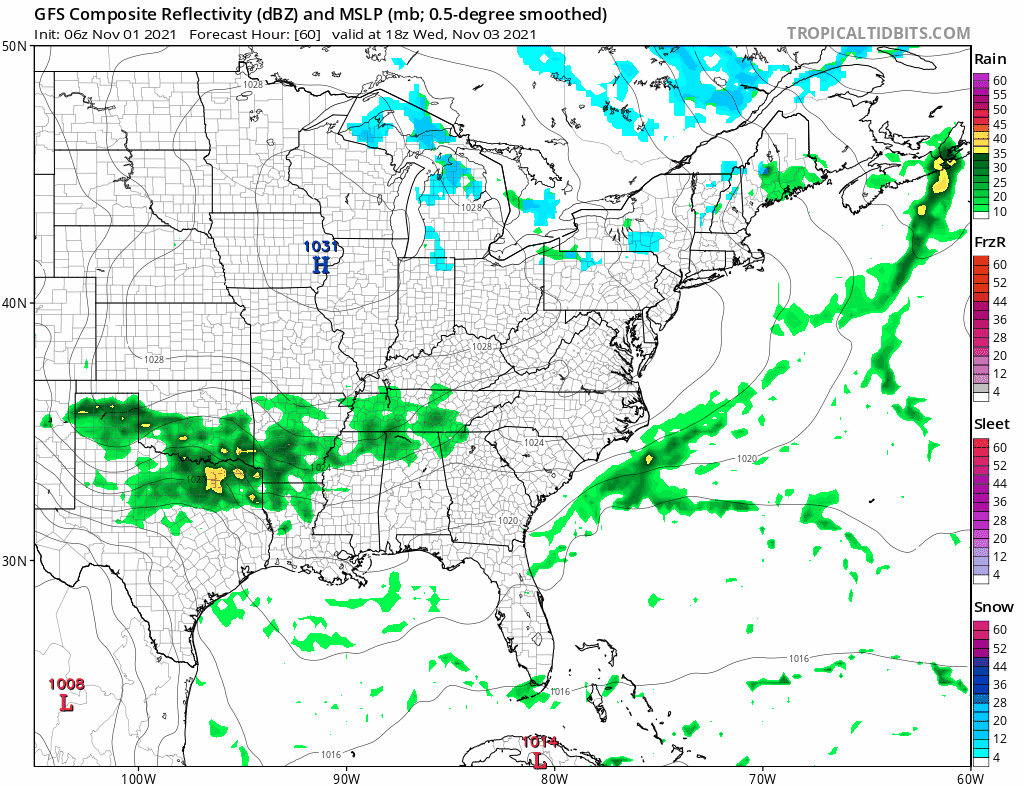
A minor issue creeps up Thursday as Tuesday’s front stalls to the south and the first of two waves head northeast along the frontal boundary. There is a chance that the first wave could bump up a little further north so we are going to call for sunshine and arriving clouds on Thursday. It will be cold at the start with frosts and freezes inland and cold during the day with most highs only in the 40s to near 50.


We will leave out an mention for some showers Thursday night for now. The wave keeps going and we will see sunshine return Friday with highs in the upper 40s and lower 50s. The weekend right now looks dry with sunshine and temperatures should bounce a little higher with highs in the 50s to near 60 both days. No major storms are on the docket.
BE SURE TO DOWNLOAD THE FREE METEOROLOGIST JOE CIOFFI WEATHER APP &
ANGRY BEN’S FREE WEATHER APP “THE ANGRY WEATHERMAN!

MANY THANKS TO TROPICAL TIDBITS & F5 WEATHER FOR THE USE OF MAPS
Please note that with regards to any severe weather, tropical storms, or hurricanes, should a storm be threatening, please consult your local National Weather Service office or your local government officials about what action you should be taking to protect life and property.


