
Cold Night Ahead Dry Into Friday Warmer Temperatures Late Week
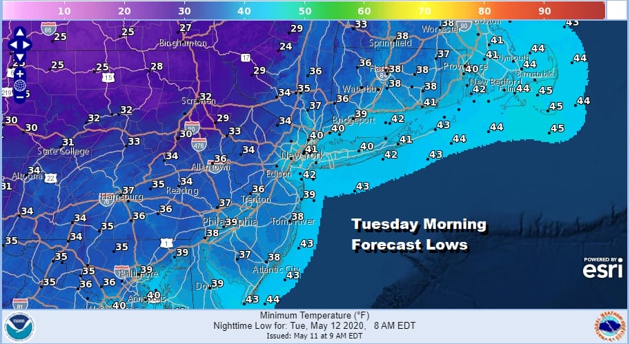
We have frost advisories and freeze warnings up tonight for most areas west of NYC and the Hudson River south into Virginia and North Carolina. This is all due to low pressure moving across New England this evening and another re-enforcing shot of cold air headed southeastward. The good news is that this cold weather pattern we have been in is breaking down and relaxing enough so that we can finally see a well deserved warm up later this week. But for tonight most lows will be in the 30s with inland areas hovering around the freezing mark.
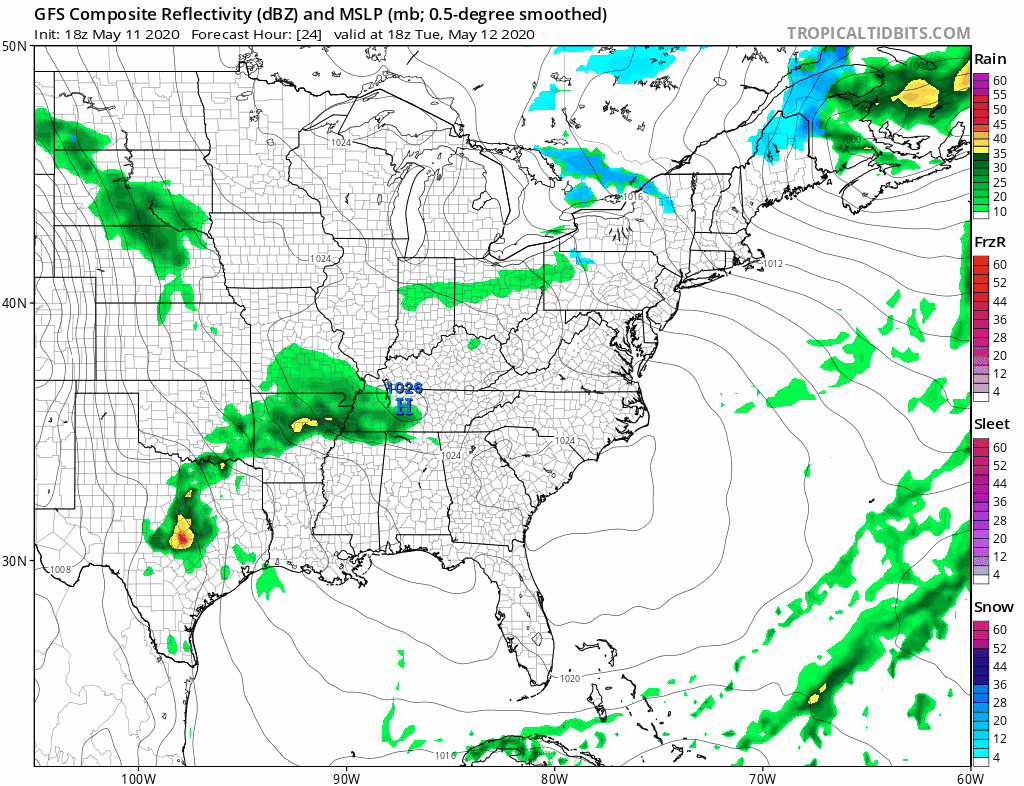
We are still trying to get this upper trough to move through this evening and we did see some scattered showers and thunderstorms with it as it went by. There are still lots of clouds on the satellite this evening but we should start to see sky conditions improve overnight as the trough moves east and high pressure starts to build in.
SATELLITE

REGIONAL RADAR

The last band of showers and thunderstorms is rotating eastward across Eastern NY and now headed into Western New England. South of NYC there appears to be only the scattered remnants of showers and most should be done in the next few hours.
LOCAL RADAR NEW YORK CITY

LOCAL RADAR PHILADELPHIA


Tuesday is going to be a chilly day but we should see some sunshine. That should take highs to the 50s to near 60 degrees. The high pressure cell will be moving off the Atlantic coast and it will strengthen from Wednesday into Friday. This ushers in a warming trend.
Wednesday brings sunshine with highs back into the 60s. Thursday we should see sunshine taking highs into the upper 60s and lower 70s. Friday however looks to be the big day ahead of the next cold front. A west wind and sunshine at least into the afternoon should send highs soaring at least into the mid 70s to lower 80s.

We should be a little cooler over the weekend. A cold front passes Friday evening with some showers and thunderstorms. Saturday and Sunday look to be dry for the most part but another cold front approaches for Sunday night into Monday with some showers. While that is going on some interesting things will be taking shape from Cuba to the Bahamas over the weekend.
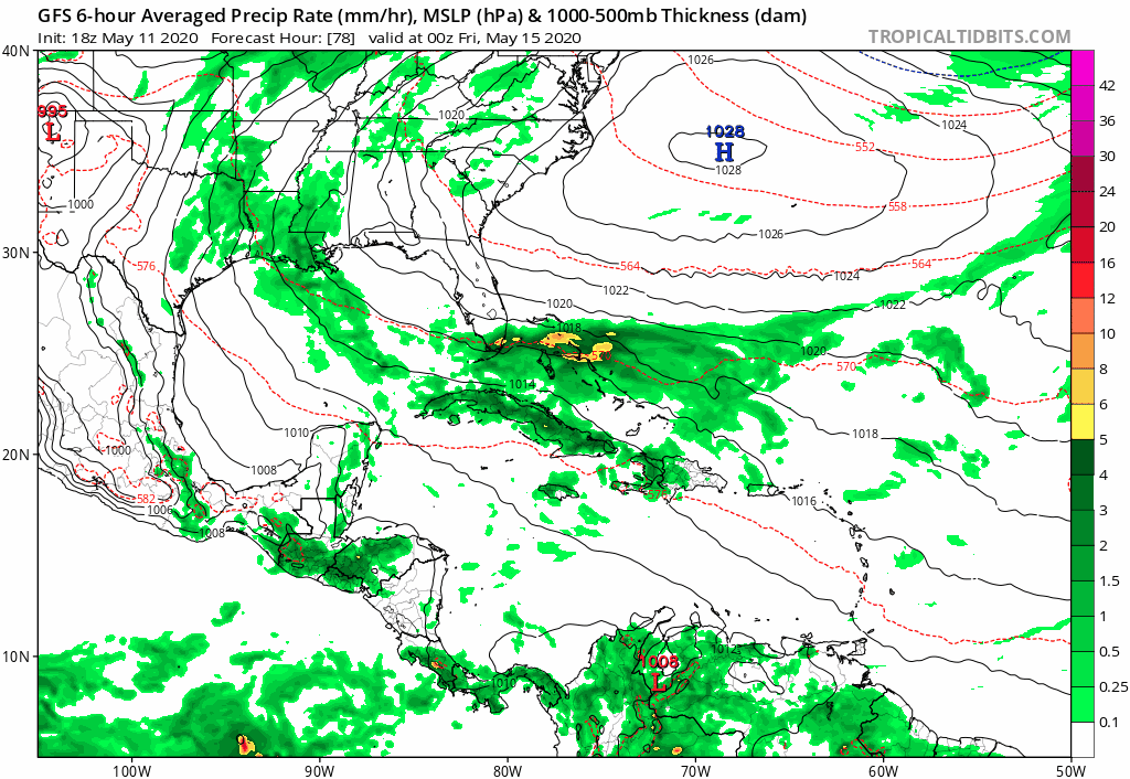
The upper high off the Southeast Coast strengthens and disturbed weather organizes as low pressure develops over the Bahamas and heads slowly northeastward. A couple of notes on May tropical storms. We have seen named tropical systems in 4 of the last 5 years. It would not be a shocker if this system becomes at least a subtropical system of some sort. Ocean water temperatures are running about 1 degree or so above average and developing would occur where the water temperatures are in the upper 70s to near or just over 80 degrees. That certainly could support a minimal tropical or subtropical storm. The upper flow is such that it will likely edge northward or north northeastward for awhile and then turn eastward since the upper flow across the US will be from west to east early next week.
BE SURE TO DOWNLOAD THE FREE METEOROLOGIST JOE CIOFFI WEATHER APP &
ANGRY BEN’S FREE WEATHER APP “THE ANGRY WEATHERMAN!
MANY THANKS TO TROPICAL TIDBITS FOR THE USE OF MAPS
Please note that with regards to any severe weather, tropical storms, or hurricanes, should a storm be threatening, please consult your local National Weather Service office or your local government officials about what action you should be taking to protect life and property.


