
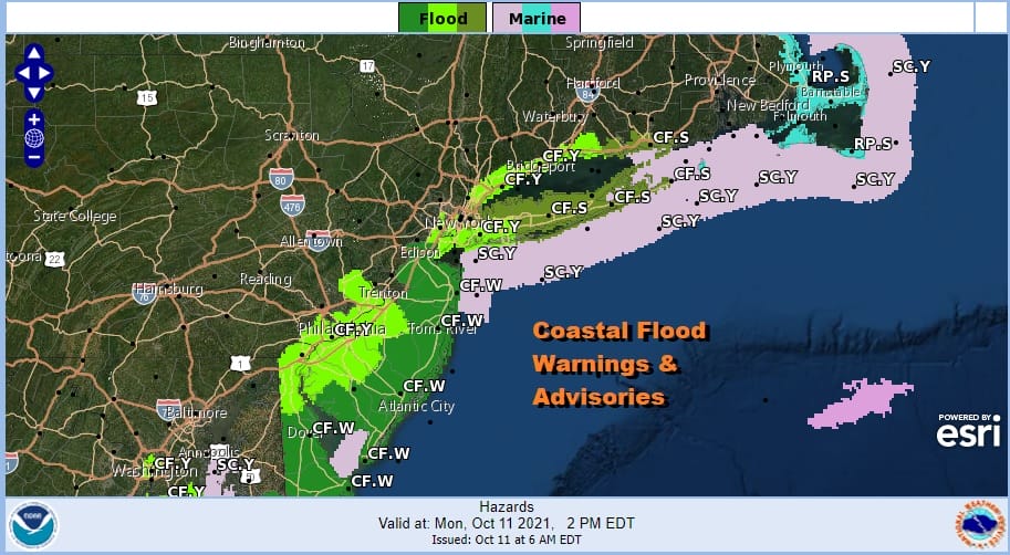
Coastal Flood Advisory Slow Improvement Later Today
Warmer Dry Week Into Saturday

Weather in 5/Joe & Joe Weather Show Latest Podcast
Coastal Flood Warnings Slow Improvement Later Today
Warmer Dry Week Into Saturday
We are starting the day off still under the influence of an onshore flow. We have low clouds around along with some small patches of light rain or drizzle. The persistent easterly flow for the last week has created coastal flooding issues and Coastal Flood Warnings & Advisories are posted for shorelines in New Jersey, around NYC, and Long Island though most of the coastal flooding issues will be minor to in some cases moderate in nature.
Aside from that there is hope for improvement in sky conditions today. The higher level moisture from low pressure to the southeast has moved away to the east and the onshore flow begins to relax. This should allow for some brightening of skies and even some sunshine to develop especially inland. Highs today will reach the upper 60s and lower 70s.
SATELLITE

WEATHER RADAR

The rest of the week we are going to see more in the way of sunshine each day and a gradual increase in temperatures. Nights will be about the same where we get low clouds and patchy fog to develop. Lows will be in the upper 50s to lower 60s in most areas. The daytime features sunshine with highs each day in the 70s. By Thursday and Friday we will start to see highs push the upper 70s and even lower 80s in some places. High pressure along the East Coast surface and aloft won’t be moving much until the end of the week. That is when the next cold front will be permitted to approach.
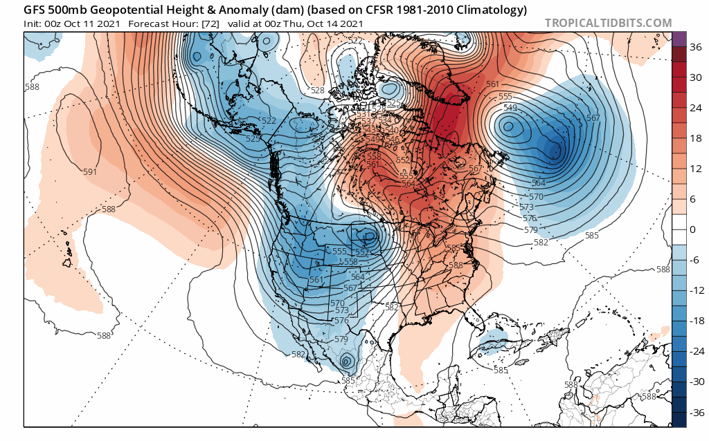
The logjam in the upper atmosphere created by blocking to the northeast and a blocked up Pacific is changing. Where this ultimately leads in the long range one doesn’t know, however the fact that weather systems will begin to move along, and the fact that a flow from Northern Canada will set up means that cooler air masses will be moving into the Eastern US in the longer term. It doesn’t mean perpetual cool and cold but it does mean we will be stair stepping down temperature wise on a regular basis.
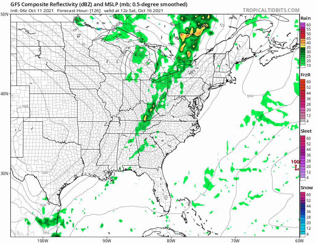
The first front arrives Saturday with the chance for showers or a thunderstorm late in the day followed by cooler air for Sunday and next week. Other fronts will follow and the new Pacific pattern means that temperatures at least will return to normal next week and beyond. No major storms or tropical systems are on the horizon as that part of the pattern remains quiet.
BE SURE TO DOWNLOAD THE FREE METEOROLOGIST JOE CIOFFI WEATHER APP &
ANGRY BEN’S FREE WEATHER APP “THE ANGRY WEATHERMAN!

MANY THANKS TO TROPICAL TIDBITS & F5 WEATHER FOR THE USE OF MAPS
Please note that with regards to any severe weather, tropical storms, or hurricanes, should a storm be threatening, please consult your local National Weather Service office or your local government officials about what action you should be taking to protect life and property.


