Clouds Around Today Sunday Still Humid Into Next Week

Weather in 5/Joe & Joe Weather Show Latest Podcast
Clouds Around Today Sunday Still Humid Into Next Week
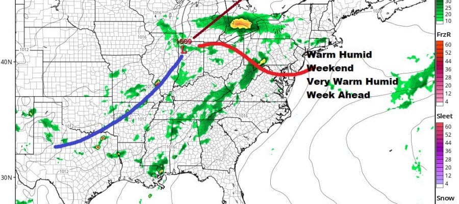
Elsa has moved away and a weak cold front passed through last night. The problem is that a little wave has developed on that front and that has created cloud cover that is showing up on satellite views. Not everyone is in a complete overcast and there are some areas that are seeing some sunshine. The best way to describe today would be to call it cloudy to partly sunny. Highs will be in the upper 70s and lower 80s. One thing the cold front did not do well is bring the humidity down much. Dew points are in the mid to upper 60s making it a bit uncomfortable. Humidity will remain high though the weekend and into next week.
SATELLITE

We aren’t seeing much regarding showers on the radar and we should remain shower free through the day although the odd isolated shower can’t be completely ruled out.
WEATHER RADAR


Low pressure is over the Central Plains and that low is going to head for the lower Great Lakes on Sunday. There is a bit of a warm front that will be setting up to our south on Sunday. This will mean another day that we will describe as cloudy to partly sunny. It will be on the humid side again with dew points in the mid to upper 60s. Highs will reach the low and mid 80s.

Im going to throw in the chance for a shower or a thunderstorm Sunday afternoon and evening even though the models aren’t showing much. the best chances will probably be inland. Thankfully after a busy week of severe weather there are no severe weather risks this weekend.
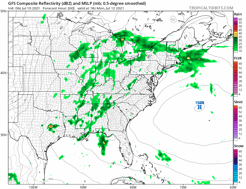
The week ahead is going to be typical mid July as we head into the warmest 3 weeks of the year. While there will be upper troughs and occasional weak fronts that approach we will probably have to wait until the end of the week for anything important regarding a cold front. So the outlook for the week ahead is relatively straight forward. Days will be partly sunny. Highs will be in the mid 80s to around 90 with humid conditions. There will be the chance for afternoon or evening scattered thunderstorms. Nights will be warm and humid with low clouds and lows in the upper 60s to lower 70s. No tropical systems are on the horizon as the tropics take a bit of a break.
BE SURE TO DOWNLOAD THE FREE METEOROLOGIST JOE CIOFFI WEATHER APP &
ANGRY BEN’S FREE WEATHER APP “THE ANGRY WEATHERMAN!

MANY THANKS TO TROPICAL TIDBITS & F5 WEATHER FOR THE USE OF MAPS
Please note that with regards to any severe weather, tropical storms, or hurricanes, should a storm be threatening, please consult your local National Weather Service office or your local government officials about what action you should be taking to protect life and property.


