
Brush Fire Risk Wednesday

Brush Fire Risk Wednesday
Dry Conditions
Winds Key For Coastal Areas

There is a Brush Fire Risk Wednesday across the area from Eastern Pennsylvania and New Jersey east to much of Eastern New York and Southern New England. This includes the New York City area and Long Island. There are some different issues for Wednesday. First off on the minus side is the fact that we will have another bone dry day with very low humidity, sunshine, and temperatures in the 60s. On the plus side is that the wind which was northwesterly today at 20 to 30 mph will be lower. The one wild card will be coastal areas especially Central & Eastern Long Island. The sea breeze is likely to develop in the afternoon and in the spring, a strong south wind can kick up to 30 mph or more at times. We will have to watch that situation closely from mid afternoon on. No help will come from the sky as radars will be dead quiet right through Thursday. The system now in the midwest won’t get here until Friday. And there is a big question mark surrounding just how much of that shower activity now in the midwest actually survives the trip. Upper air support is lacking as is the moisture inflow from the Atlantic ocean and the Gulf of Mexico.


I think net net, the risk of Wednesday for brush fires is lower but do exercise caution with any open flame outdoors. Thursday the wind is going to turn more west southwest. If humidity levels come up a bit it could alleviate some (but not all) of the super dry conditions.
RAINFALL FORECAST FRIDAY
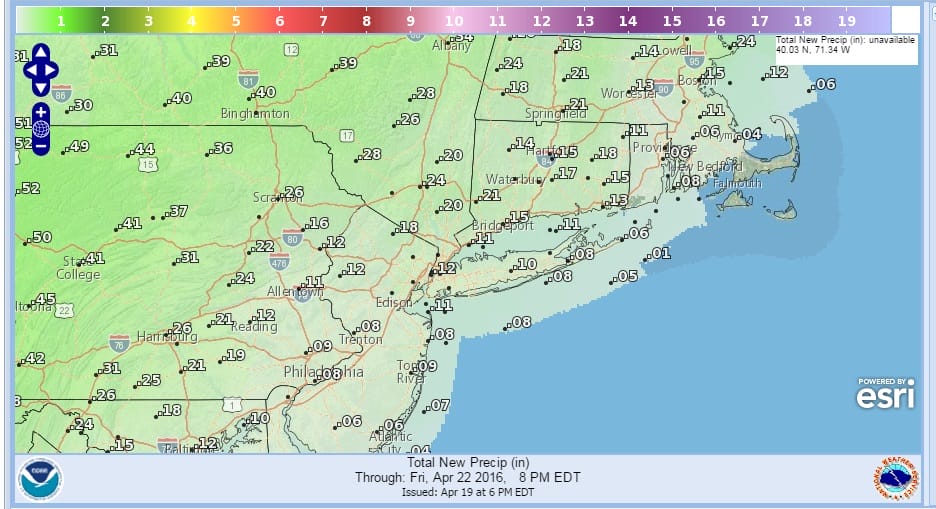
Once the showers are done Friday it looks cooler and dry for the weekend. The hope is that next week with a blocking pattern setting up we could see a couple of shots for rain. JOESTRADAMUS has more on that in his latest post.
FiOS1 News Weather Forecast For Long Island
NATIONAL WEATHER SERVICE SNOW FORECASTS
LATEST JOESTRADAMUS ON THE LONG RANGE
Weather App

Don’t be without Meteorologist Joe Cioffi’s weather app. It is really a meteorologist app because you get my forecasts and my analysis and not some automated computer generated forecast based on the GFS model. This is why your app forecast changes every 6 hours. It is model driven with no human input at all. It gives you an icon, a temperature and no insight whatsoever.
It is a complete weather app to suit your forecast needs. All the weather information you need is right on your phone. Android or I-phone, use it to keep track of all the latest weather information and forecasts. This weather app is also free of advertising so you don’t have to worry about security issues with your device. An accurate forecast and no worries that your device is being compromised.
Use it in conjunction with my website and my facebook and twitter and you have complete weather coverage of all the latest weather and the long range outlook. The website has been redone and upgraded. Its easy to use and everything is archived so you can see how well Joe does or doesn’t do when it comes to forecasts and outlooks.
Just click on the google play button or the apple store button on the sidebar for my app which is on My Weather Concierge. Download the app for free. Subscribe to my forecasts on an ad free environment for just 99 cents a month.
Get my forecasts in the palm of your hand for less than the cost of a cup of Joe!
![]()
![]()

MENTION JOE CIOFFI AND GET A 5% DISCOUNT


