Week Ahead Looks Mostly Dry Showers Late Wednesday Chilly Late Week
We begin the work week quietly for the most part. Clouds are around this morning and we had a few showers overnight along coastal areas of New Jersey and Long Island. Also there have been some showers inland in parts of Eastern Pennsylvania. All of this winds down this morning and then weather conditions should improve later today with some sunshine developing through leftover cloud cover. Temperatures today will be in the 60s.
SATELLITE
REGIONAL RADAR
The showers to the west are being caused by a weak upper trough moving eastward while the offshore showers on the radars are due to a frontal wave that is exiting out to the east. The rain being produced is on the light side.
LOCAL RADAR NEW YORK CITY
LOCAL RADAR PHILADELPHIA

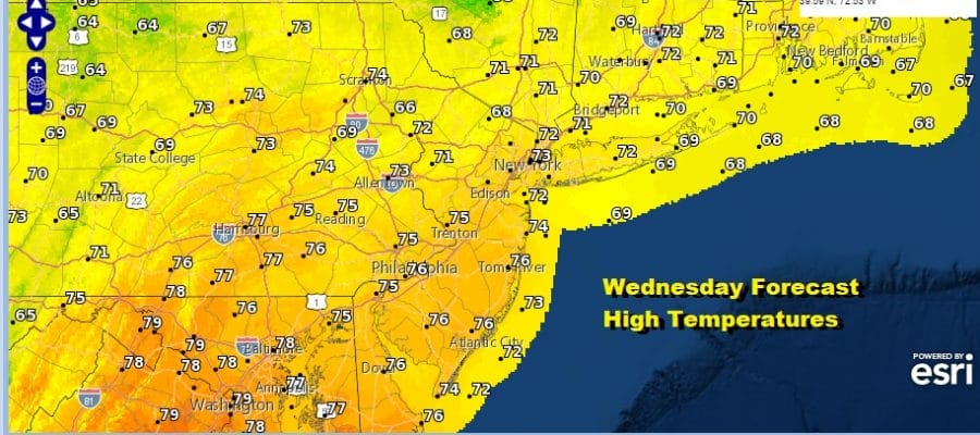
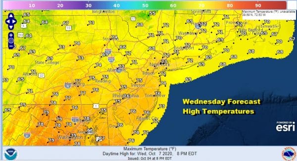
Tonight skies clear with most lows in the 50s along the coast and in warmer urban centers with 40s inland and west. Tuesday looks like a nice day of sunshine with highs reaching the upper 60s to lower 70s. Wednesday will be the warmest day this week with some sunshine. Highs will reach the low to mid 70s.
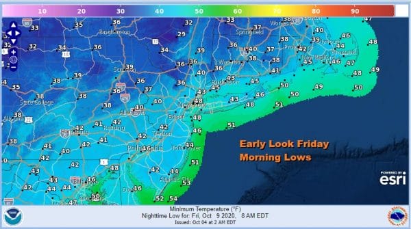
Wednesday also sees a cold front moving through late in the day and there could be a shower or two with that front when it goes by. Behind it comes a shot of significantly cooler air. Thursday we will have some sunshine with highs in the low to mid 60s and then we will be dropping into the low 40s in coastal areas and warmer urban setting. Many inland areas will be in the 30s.
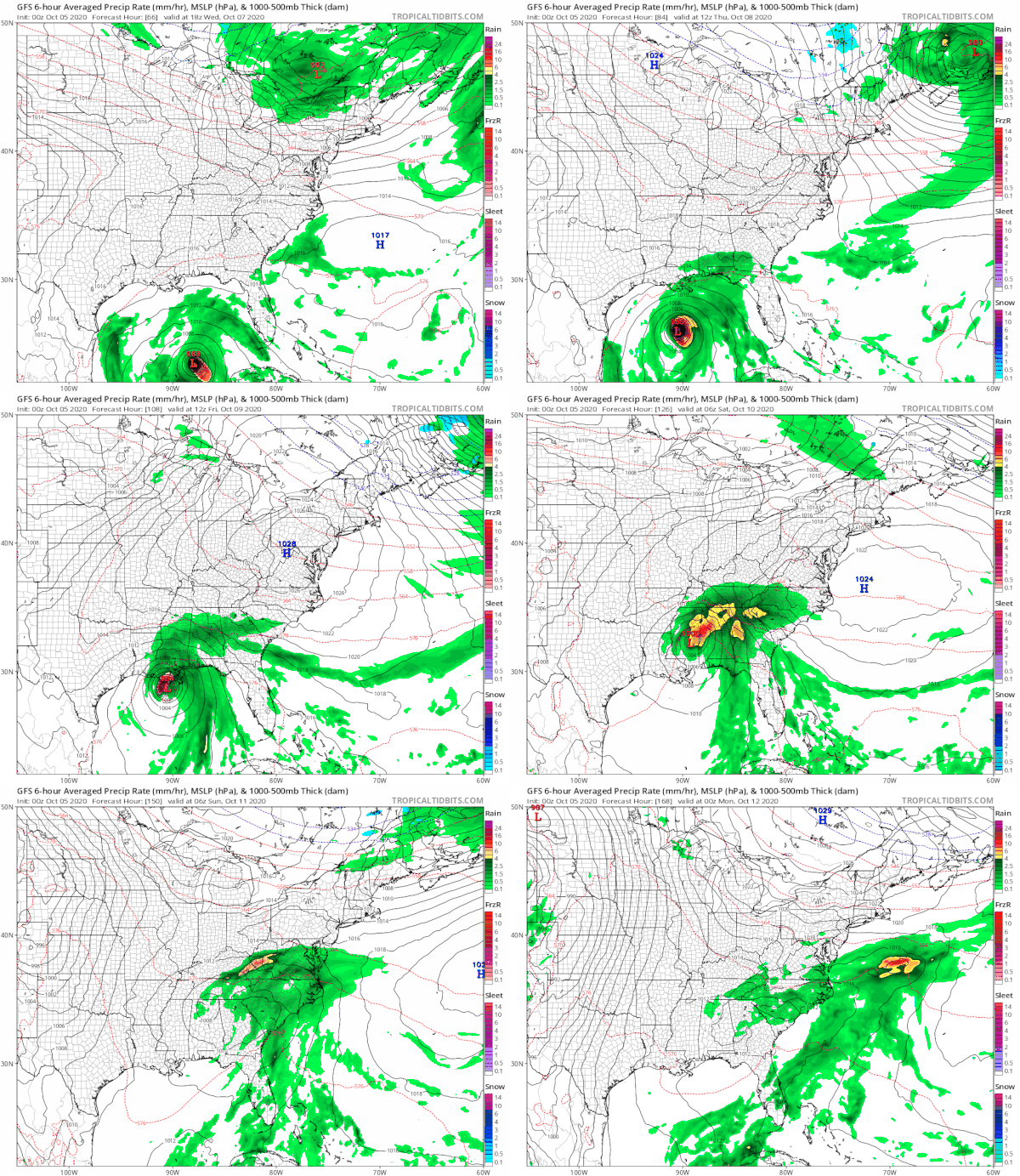
Friday look for sunshine and chilly temperatures with highs just in the 50s to near 60. Temperatures should bounce over the weekend into the 60s with some sunshine for Saturday. We will stay optimistic for Sunday and Monday Columbus Day for now however we may have to keep an eye on what will be a new tropical storm later today. Delta is forecast by the National Hurricane Center to become a hurricane and hit the Central Gulf coast late this Friday or early Saturday. Rains from this this will turn northeastward and head into the Southeastern US to the Middle Atlantic states.
We also will be seeing a cold front dropping southward Saturday from Eastern Canada and a large high building southward from there. This could wind up suppressing this rain to our south rather than move northeastward up the coast. Given the dry pattern and the flat nature of the upper air we are going to lean in an optimistic direction for the weekend for the time being.
BE SURE TO DOWNLOAD THE FREE METEOROLOGIST JOE CIOFFI WEATHER APP &
ANGRY BEN’S FREE WEATHER APP “THE ANGRY WEATHERMAN!
MANY THANKS TO TROPICAL TIDBITS FOR THE USE OF MAPS
Please note that with regards to any severe weather, tropical storms, or hurricanes, should a storm be threatening, please consult your local National Weather Service office or your local government officials about what action you should be taking to protect life and property.


