Weather Improves Weekend Outlook Dry Nice
No Major Weather Events Next Week

Weather in 5/Joe & Joe Weather Show Latest Podcast
Weather Improves Weekend Outlook Dry Nice
No Major Weather Events Next Week
Our slow moving cold front continues to crwal eastward and that has kept areas from Southeastern Connecticut to much of Long Island in clouds this afternoon but there is a sharp clearing line and much of the area is actually enjoying a mostly sunny afternoon. We don’t expect any issues for the remainder of the day except where clouds are still around as a few scattered showers are still hanging about in those areas. Under clouds temperatures are in the 60s but everywhere else temperatures are in the 70s.
SATELLITE

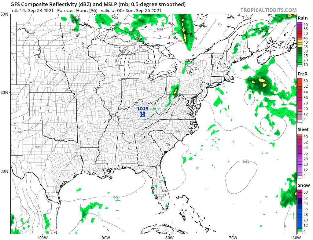
Radar is showing rain in Southeastern New England where there have even been a few thunderstorms in the mix. There are still some showers over Eastern Connecticut and the eastern half of Long Island while the rest of the area is in the clear and the radars won’t be active all weekend.
WEATHER RADAR

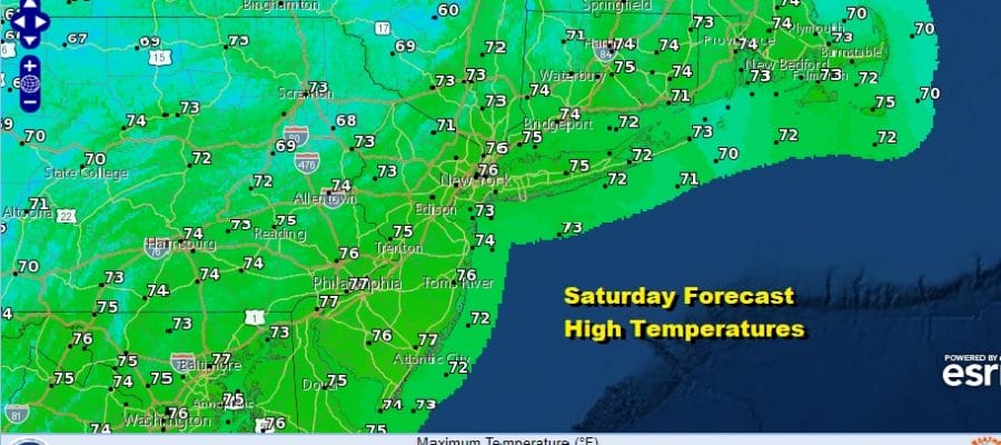
Saturday the front should be far enough offshore so that we should have partly to mostly sunny skies. Highs Saturday will be in the 70s. We do have a weak trough and front that will pass Saturday night with just a few clouds. Otherwise it leaves us with a nice day on Sunday with sunshine.

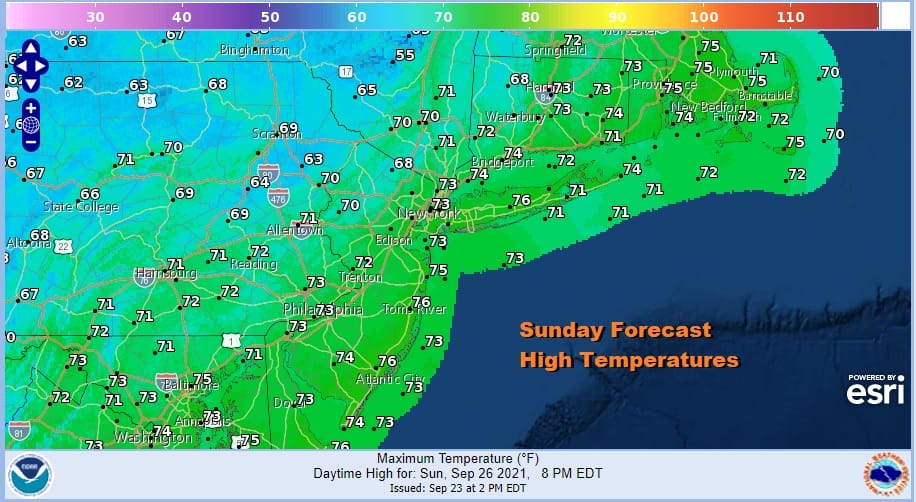
Highs will be a shade cooler Sunday with inland highs close to 70 and most everyone else between 70 and 75. Humidity levels have collapsed this afternoon and we will remain dry into next week. This is a nice first weekend of autumn.
Next week the first half should be fine with the only issue being a cold front passing late Tuesday with not much with it. Monday will be mostly sunny with highs in the 70s and Tuesday will be partly sunny with highs in the 70s to near 80. The front will pass and then stall to the south and east as a another high builds into New England. Wednesday should be okay but Thursday and Friday there could be onshore flow issues as an upper low drops southward to off the Mid Atlantic coast. This could complicate the weather picture late week though for now clouds would be the bigger issue and rain would stay to the south but we will be revisiting that prospect over the weekend.
BE SURE TO DOWNLOAD THE FREE METEOROLOGIST JOE CIOFFI WEATHER APP &
ANGRY BEN’S FREE WEATHER APP “THE ANGRY WEATHERMAN!

MANY THANKS TO TROPICAL TIDBITS & F5 WEATHER FOR THE USE OF MAPS
Please note that with regards to any severe weather, tropical storms, or hurricanes, should a storm be threatening, please consult your local National Weather Service office or your local government officials about what action you should be taking to protect life and property.


