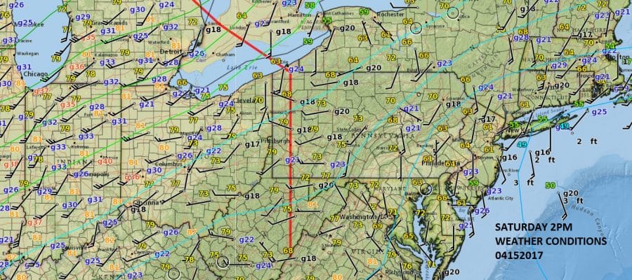
Warm Front Moving East
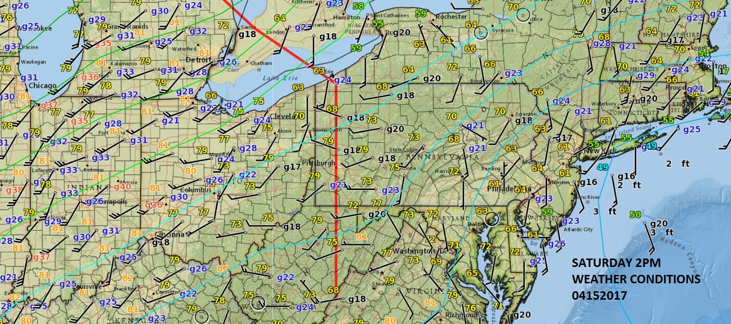
Warm Front Moving East
We have a warm front mvoing east across the Ohio Valley and it will be moving through our area tonight. Ahead of it this afternoon we are sitting with mostly south winds and temperatures in the 60s except along south facing shorelines where temperatures are in the 50s. To the west of the front the winds are west and temperatures are heating up to the upper 70s to near 80 as of 2pm. The satellite loop shows a an area of clouds ahead of the front and they will swing through this evening.
SATELLITE LOOP

REGIONAL RADAR

With the warm front moving east the radars are picking up an area of showers but the bulk of those will go by to our north. Some scattered showers are likely to develop late this afternoon into the first part of tonight but judging from the models today most of the area won’t see much in the way of rain.
LOCAL RADAR NEW YORK CITY

LOCAL RADAR PHILADELPHIA


Once the warm front goes by tonight winds will turn to the west. Ahead of it some patchy fog could develop overnight along coastal areas. Easter Sunday will be very warm with sunshine and highs reaching the 80s in most locations. The question for late Sunday afternoon and evening is whether we could see some downpours or a thunderstorm. If we believe the NAM and other super short term models, the latest runs show very little in the way of shower and thunderstorm activity so again even in this case, most of you won’t see anything in terms of rain all weekend. Monday will be dry with temperatures cooling off a bit though highs could still reach the 70s.
 GET JOE A CIGAR IF YOU LIKE

LANDSCAPE COMPANIES FOR YOUR NEEDS
LONG ISLAND ROCKLAND COUNTY Connecticut

![]()

ROCKLAND COUNTY TRI STATE SNOW REMOVAL JOHNSTOWN PA


FiOS1 News Weather Forecast For Long Island
FiOS1 News Weather Forecast For New Jersey
FiOS1 News Weather Forecast For Hudson Valley
NATIONAL WEATHER SERVICE SNOW FORECASTS
LATEST JOESTRADAMUS ON THE LONG RANGE
Weather App

Don’t be without Meteorologist Joe Cioffi’s weather app. It is really a meteorologist app because you get my forecasts and my analysis and not some automated computer generated forecast based on the GFS model. This is why your app forecast changes every 6 hours. It is model driven with no human input at all. It gives you an icon, a temperature and no insight whatsoever.
It is a complete weather app to suit your forecast needs. All the weather information you need is right on your phone. Android or I-phone, use it to keep track of all the latest weather information and forecasts. This weather app is also free of advertising so you don’t have to worry about security issues with your device. An accurate forecast and no worries that your device is being compromised.
Use it in conjunction with my website and my facebook and twitter and you have complete weather coverage of all the latest weather and the long range outlook. The website has been redone and upgraded. Its easy to use and everything is archived so you can see how well Joe does or doesn’t do when it comes to forecasts and outlooks.
Just click on the google play button or the apple store button on the sidebar for my app which is on My Weather Concierge. Download the app for free. Subscribe to my forecasts on an ad free environment for just 99 cents a month.
Get my forecasts in the palm of your hand for less than the cost of a cup of Joe!


