
Tropical Weather Forecast: Tropical Depression 12 Forms; Warnings For Bahamas
Satellite pictures this evening show a low level circulation has formed and this is system has now been designated as Tropical Depression 12 and is likely to become a tropical storm on Monday. Tropical Storm Warnings are posted now for parts of the Bahamas as the depression is forecast to pass just east of the easternmost islands Monday and Monday night. Given the time of year and climatology it is not likely to strengthen much beyond minimal tropical storm strength based on what we see at this point. However this system could reach 45 or 50 knots when it achieves maximum strength.

..TROPICAL DEPRESSION FORMS NEAR THE SOUTHEASTERN BAHAMAS...
...TROPICAL STORM WARNING ISSUED FOR PORTIONS OF THE BAHAMAS...


SUMMARY OF 1000 PM EST...0300 UTC...INFORMATION
-----------------------------------------------
LOCATION...23.0N 73.0W
ABOUT 115 MI...190 KM SE OF SAN SALVADOR
MAXIMUM SUSTAINED WINDS...35 MPH...55 KM/H
PRESENT MOVEMENT...NW OR 305 DEGREES AT 14 MPH...22 KM/H
MINIMUM CENTRAL PRESSURE...1010 MB...29.83 INCHES


WATCHES AND WARNINGS
--------------------
CHANGES WITH THIS ADVISORY:

The Government of the Bahamas has issued a Tropical Storm Warning
for the Central and Northwestern Bahamas, and for the Acklins,
Samana Cays, Crooked Island, and Long Cay in the southeastern
Bahamas.
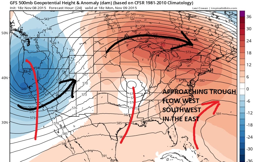
The upper air forecast favors this system to recurve around the upper high offshore and ahead of the weather system that is moving across the southern half of the jet stream over Missouri. Low pressure is forecast to develop off the southeast coast and move northeast and it is likely over time that the tropical depression will strengthen to a tropical storm and then eventually get absorbed by that low as it moves off the northeast coast Tuesday night and Wednesday.

One other possibility is that the depression remains weak and that the system reacts to lower level winds that could carry it a little further west before turning north and then getting absorbed by the non tropical system to the north. Either way at this point it still does not appear to be a threat to the East Coast of the United States.