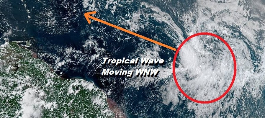
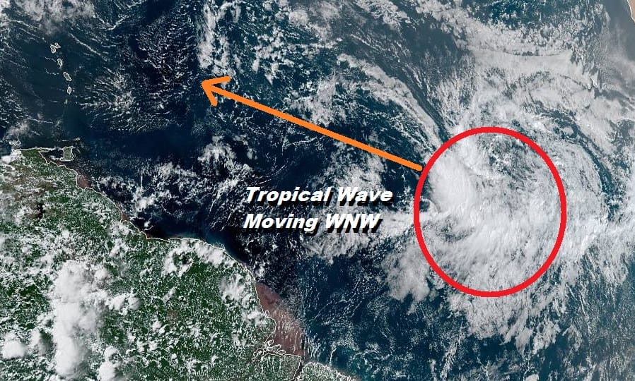
Tropical Wave In The Eastern Atlantic Could Develop Over the Weekend
We are about to begin the two most active months of the hurricane season. So far we have seen two named storms and one other weak tropical depression which puts the June July period as a rather typical one as these months tend to be subdued when it comes to tropical activity. We have started to see stronger waves move off the African coast as the Cape Verde season get underway. One such wave is out in the Eastern Atlantic and remains rather disorganized at the moment.
SATELLITE

Conditions in the Eastern Atlantic at the moment are rather unfavorable for development due to strong upper air winds. However if the wave holds together, once it gets west of 50 degrees west, upper air conditions become more conducive for tropical cyclone formation. Upper air winds west of 50 degrees west and south of 15 degrees north will relax enough to create an opportunity for this system to strengthen.
With the hurricane season going into peak form expect weather models to start showing signs of spinning up everything out there and of course with that will come the endless posts from the usual suspects regarding possible “epic” outcomes. I’m getting ahead of the curve here regarding this annual festival of hysterics to point out a few things. Firstly there is no real point to speculating until something actually forms. But if you want to take it out to some sort of armageddon conclusion lets take a look at the upper air conditions forecast along the East Coast.
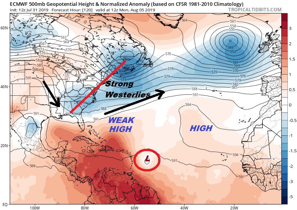
We have been talking for weeks about how the jet stream in Canada has been flexing north and south from time to time. We will be going into a stretch where the jet stream will be dropping south again over the weekend and next week. The map above is a snapshot of the jet stream pattern next Monday on the European Model. This bring strong upper air westerly winds all the way south to Florida. A flow like this would not be a look that brings storms up the East Coast. If the weak high to the northwest of where the European sees this tropical system is too weak, anything that forms would gain latitude (move more north and then eventually turn northeast.

Judging from the pattern in the long range next week, one trough pulls out and another one drops in. This basically re-enforces the strong westerlies along the East Coast. This will keep the North and Mid Atlantic Coast protected from any kind of approach tropical system…that is if there even is one. It might be easier just to wait until something forms and take it from there rather than get all wrapped up in long range nonsense.
MANY THANKS TO TROPICAL TIDBITS FOR THE USE OF MAPS
Please note that with regards to any tropical storms or hurricanes, should a storm be threatening, please consult your local National Weather Service office or your local government officials about what action you should be taking to protect life and property.