Storm Departs Mostly Quiet Weather Ahead No Sustained Warmth Long Range
Storm Departs Mostly Quiet Weather Ahead No Sustained Warmth Long Range
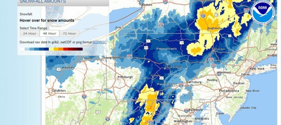
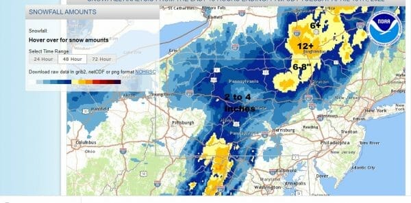
Last night’s coastal storm left 2 inch plus rains up and down the coastal plain with strong winds along the coast. The snow inland was impressive especially in elevations above 1500 feet. The areas along the I-81 corridor saw some areas get 12 inches plus. These were amounts as of 8am and areas to the north will have another few inches added to their totals. The storm is moving into Southeastern Canada and what remains are a lot of clouds and gusty winds. Some breaks of sun are occurring here and there but temperatures for the rest of the day will struggle in the 40s in most places.
SATELLITE
WEATHER RADAR
We have a cold breezy night ahead with skies at least partially clearing out. Lows by morning will be mostly in the 30s. Wednesday we will see some improvement as the storm pulls further east and high pressure settles along the coast. We will see sunshine and highs will be in the 50s to around 60 degrees.
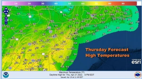
Thursday we have a cold front approaching as low pressure heads from the Northern Plains east to the Great Lakes. The trailing front has some showers with it but we expect those showers to fall apart before they reach us. Other than the odd isolated shower, Thursday should be mostly dry with sun and clouds and highs could make it back into the 60s.
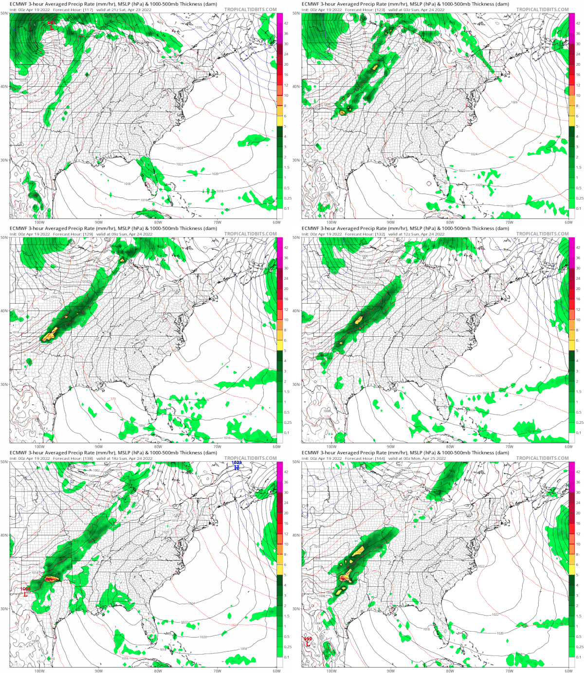
Friday could turn out to be the best day of the week as the air behind the front is not all that cold. So with the strong April sun we should see highs reach the mid 60s to lower 70s Friday afternoon. Saturday we will be a little cooler with some sunshine and highs in the upper 50s to lower 60s. The weather models do not show sustained warmth meaning that yes we could warm up for a day or 2 but as far as it lasting longer than that, it seems unlikely. We will attempt to warm Sunday into Monday because the next front won’t arrive until Tuesday. Wind direction will impact temperatures so we could see a wide range of highs Sunday from the 60s from NYC north and east to the 70s south and west. We don’t see any rain in the cards until next Tuesday when the next important cold front arrives. Enjoy the relatively calm weather ahead.
BE SURE TO DOWNLOAD THE FREE METEOROLOGIST JOE CIOFFI WEATHER APP &
ANGRY BEN’S FREE WEATHER APP “THE ANGRY WEATHERMAN!
MANY THANKS TO TROPICAL TIDBITS & F5 WEATHER FOR THE USE OF MAPS
Please note that with regards to any severe weather, tropical storms, or hurricanes, should a storm be threatening, please consult your local National Weather Service office or your local government officials about what action you should be taking to protect life and property.


